Property Record
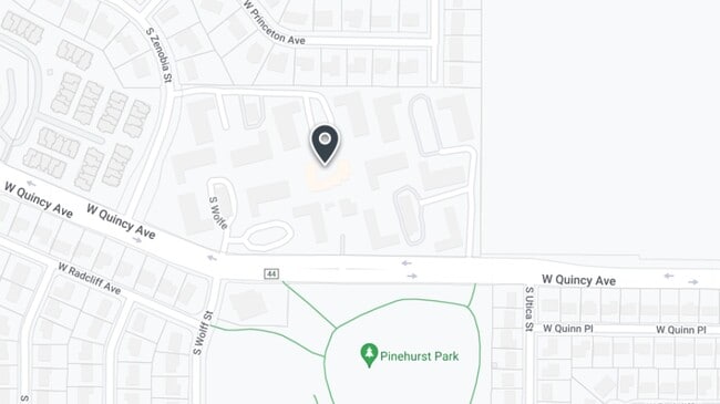
4725 W Quincy Ave, Denver, CO 80236


Property Detail
4725 W Quincy Ave
8063-00-006
TRACT B BLOCK 1 PINEHURST ESTATES
Apartment
Denver
R-2
Colorado
B and X Area of moderate flood hazard, usually the area between the limits of the 100-year and 500-year floods.
14.72 AC
2025
Fort Logan
2025
Denver
005502
Denver-Aurora-Centennial, CO
210,536 SF
NEARBY LISTINGS FOR SALE OR LEASE
DEMOGRAPHICS near 4725 W Quincy Ave
1 mile
3 mile
5 mile
2025 Total Population
10,151
107,055
329,588
2030 Population
10,306
108,229
331,696
Pop Growth 2025-2030
+ 1.53%
+ 1.10%
+ 0.64%
Average Age
42
41
41
2025 Total Households
3,783
44,256
133,152
HH Growth 2025-2030
+ 1.43%
+ 1.18%
+ 0.74%
Median Household Inc
$102,956
$88,351
$93,564
Avg Household Size
2.50
2.30
2.40
2025 Avg HH Vehicles
2.00
2.00
2.00
Median Home Value
$618,169
$569,653
$628,218
Median Year Built
1974
1978
1975
Nearby Places
Map Layers
Map Styles
 Street
 Aerial
Layers
 Traffic
 Biking
Places
Listings with unknown addresses are not visible on the map
- Restaurants
- Banks
- Shops
- Fitness
- Groceries
PUBLIC TRANSPORTATION
AIRPORT
Denver International
Drive
Walk
Distance
Denver International
49 min
35.3 mi
Freight Ports
Tulsa Port Of Catoosa
Drive
Walk
Distance
Tulsa Port Of Catoosa
745 min
718.1 mi
Nearby Properties
Address
Land Use
TOTAL SIZE
Lot Size
Zoning
Address
Land Use
TOTAL SIZE
Lot Size
Zoning
172,644 SF
8.77 AC
Address
Land Use
TOTAL SIZE
Lot Size
Zoning
665,722 SF
615.85 AC
OS-B
Address
Land Use
TOTAL SIZE
Lot Size
Zoning
330,776 SF
48.11 AC
CMP-H2
Address
Land Use
TOTAL SIZE
Lot Size
Zoning
248,291 SF
128.77 AC
CMP-H2
Address
Land Use
TOTAL SIZE
Lot Size
Zoning
251,583 SF
38.03 AC
Address
Land Use
TOTAL SIZE
Lot Size
Zoning
381,135 SF
35.02 AC
Address
Land Use
TOTAL SIZE
Lot Size
Zoning
304,560 SF
23.94 AC
S-SU-F
Address
Land Use
TOTAL SIZE
Lot Size
Zoning
14,029 SF
23.97 AC
Address
Land Use
TOTAL SIZE
Lot Size
Zoning
298,752 SF
73.96 AC
Address
Land Use
TOTAL SIZE
Lot Size
Zoning
208,529 SF
34.81 AC
R-5
Address
Land Use
TOTAL SIZE
Lot Size
Zoning
33,500 SF
53.33 AC
Address
Land Use
TOTAL SIZE
Lot Size
Zoning
368,527 SF
18.71 AC
S-SU-D
Address
Land Use
TOTAL SIZE
Lot Size
Zoning
501,310 SF
12.56 AC
Address
Land Use
TOTAL SIZE
Lot Size
Zoning
47.24 AC
Address
Land Use
TOTAL SIZE
Lot Size
Zoning
272,775 SF
27.94 AC
Address
Land Use
TOTAL SIZE
Lot Size
Zoning
107,159 SF
26.40 AC
Address
Land Use
TOTAL SIZE
Lot Size
Zoning
221,025 SF
8.45 AC
PUD
Address
Land Use
TOTAL SIZE
Lot Size
Zoning
304,475 SF
22.32 AC
Address
Land Use
TOTAL SIZE
Lot Size
Zoning
68,082 SF
3.09 AC
S-MU
Address
Land Use
TOTAL SIZE
Lot Size
Zoning
137,526 SF
11.35 AC
Address
Land Use
TOTAL SIZE
Lot Size
Zoning
356,896 SF
12.90 AC
LPD-R
Address
Land Use
TOTAL SIZE
Lot Size
Zoning
39.44 AC
Address
Land Use
TOTAL SIZE
Lot Size
Zoning
446,582 SF
19.24 AC
Address
Land Use
TOTAL SIZE
Lot Size
Zoning
229,830 SF
11.33 AC
Address
Land Use
TOTAL SIZE
Lot Size
Zoning
10,260 SF
49.33 AC
CMP-H2
Address
Land Use
TOTAL SIZE
Lot Size
Zoning
205,949 SF
16.46 AC
S-SU-F
Address
Land Use
TOTAL SIZE
Lot Size
Zoning
133,594 SF
25.03 AC
Address
Land Use
TOTAL SIZE
Lot Size
Zoning
92,913 SF
8.47 AC
LRE
Address
Land Use
TOTAL SIZE
Lot Size
Zoning
94,367 SF
10.02 AC
R-2
Address
Land Use
TOTAL SIZE
Lot Size
Zoning
63,347 SF
20.70 AC
The World's #1 Commercial Real Estate Marketplace
Connect with us
© 2026 CoStar Group
The information above has been obtained from sources believed reliable. While we do not doubt its accuracy we have not verified it and make no guarantee, warranty or representation about it. It is your responsibility to independently confirm its accuracy and completeness. Any projections, opinions, assumptions, or estimates used are for example only and do not represent the current or future performance of the property. The value of this transaction to you depends on tax and other factors which should be evaluated by your tax, financial, and legal advisors. You and your advisors should conduct a careful, independent investigation of the property to determine to your satisfaction the suitability of the property for your needs.