Property Record
4744 Stough Rd Sw, Concord, NC 28027
NEARBY LISTINGS FOR SALE OR LEASE
Property Detail
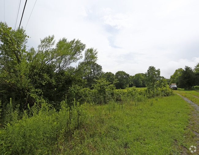
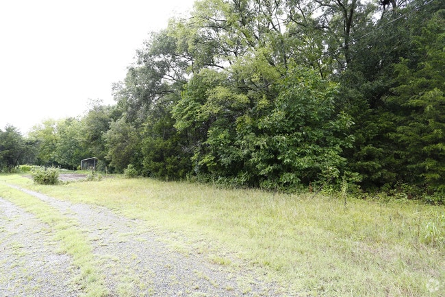
4744 Stough Rd Sw
Charlotte-Concord-Gastonia, NC-SC
Stough Rd
5518-75-5722-0000
WEST SIDE STOUGH RD
Industrialgeneral
Cabarrus
AE
North Carolina
3710551800K
65.04 AC
2025
Cabarrus County
2025
Charlotte
042603
DEMOGRAPHICS near 4744 Stough Rd Sw
1 Mile
3 Mile
5 Mile
2024 Total Population
1,664
36,971
103,877
2029 Population
1,865
41,534
116,799
Pop Growth 2024-2029
+ 12.08%
+ 12.34%
+ 12.44%
Average Age
38
37
38
2024 Total Households
551
12,971
36,685
HH Growth 2024-2029
+ 10.89%
+ 10.92%
+ 11.08%
Median Household Inc
$98,102
$90,100
$85,164
Avg Household Size
2.90
2.80
2.70
2024 Avg HH Vehicles
2.00
2.00
2.00
Median Home Value
$270,551
$273,248
$281,577
Median Year Built
2004
2000
1997
Nearby Places
Map Layers
Map Styles
 Street
 Aerial
- Restaurants
- Banks
- Shops
- Fitness
- Groceries
PUBLIC TRANSPORTATION
AIRPORT
Concord-Padgett Regional
DRIVE
WALK
Distance
Concord-Padgett Regional
20 min
11.0 mi
Charlotte/Douglas International
DRIVE
WALK
Distance
Charlotte/Douglas International
42 min
26.2 mi
Freight Ports
Port of Wilmington
DRIVE
WALK
Distance
Port of Wilmington
255 min
197.3 mi
SALE & LEASE HISTORY
LISTING DATE
SALE/LEASE

Jun 05, 2023
For Sale
Nearby Properties
Address
Land Use
TOTAL SIZE
Lot Size
Zoning
Address
Land Use
TOTAL SIZE
Lot Size
Zoning
33,090 SF
19.43 AC
C-2
Address
Land Use
TOTAL SIZE
Lot Size
Zoning
5,048 SF
26.66 AC
C-2
Address
Land Use
TOTAL SIZE
Lot Size
Zoning
495.38 AC
I-2
Address
Land Use
TOTAL SIZE
Lot Size
Zoning
196,893 SF
43.82 AC
MDR
Address
Land Use
TOTAL SIZE
Lot Size
Zoning
226,355 SF
99.26 AC
O-I
Address
Land Use
TOTAL SIZE
Lot Size
Zoning
163,494 SF
89.85 AC
I-2
Address
Land Use
TOTAL SIZE
Lot Size
Zoning
350,339 SF
77.60 AC
RM-1
Address
Land Use
TOTAL SIZE
Lot Size
Zoning
7,566 SF
19.98 AC
RC
Address
Land Use
TOTAL SIZE
Lot Size
Zoning
175,978 SF
63.81 AC
O-I
Address
Land Use
TOTAL SIZE
Lot Size
Zoning
6,539 SF
173.17 AC
LI
Address
Land Use
TOTAL SIZE
Lot Size
Zoning
21,714 SF
15.02 AC
RC
Address
Land Use
TOTAL SIZE
Lot Size
Zoning
152,554 SF
29.94 AC
O-I
Address
Land Use
TOTAL SIZE
Lot Size
Zoning
160,412 SF
39.97 AC
O-I
Address
Land Use
TOTAL SIZE
Lot Size
Zoning
360,400 SF
20.32 AC
EC
Address
Land Use
TOTAL SIZE
Lot Size
Zoning
125,245 SF
21.47 AC
O-I
Address
Land Use
TOTAL SIZE
Lot Size
Zoning
304,000 SF
17.30 AC
EC
Address
Land Use
TOTAL SIZE
Lot Size
Zoning
160,357 SF
26.85 AC
O-I
Address
Land Use
TOTAL SIZE
Lot Size
Zoning
4,588 SF
550.66 AC
I-2
Address
Land Use
TOTAL SIZE
Lot Size
Zoning
8,640 SF
15.51 AC
RC
Address
Land Use
TOTAL SIZE
Lot Size
Zoning
48,888 SF
15.29 AC
GC
Address
Land Use
TOTAL SIZE
Lot Size
Zoning
213,698 SF
17.97 AC
C-2
Address
Land Use
TOTAL SIZE
Lot Size
Zoning
126,214 SF
93.87 AC
O-I
Address
Land Use
TOTAL SIZE
Lot Size
Zoning
12,486 SF
232.04 AC
O-I
Address
Land Use
TOTAL SIZE
Lot Size
Zoning
174,732 SF
29.05 AC
LI
Address
Land Use
TOTAL SIZE
Lot Size
Zoning
123.07 AC
CD
Address
Land Use
TOTAL SIZE
Lot Size
Zoning
8,656 SF
10.01 AC
RC
Address
Land Use
TOTAL SIZE
Lot Size
Zoning
54,503 SF
9.32 AC
EC
Address
Land Use
TOTAL SIZE
Lot Size
Zoning
12,150 SF
7.23 AC
GI
Address
Land Use
TOTAL SIZE
Lot Size
Zoning
60.37 AC
I-2
Address
Land Use
TOTAL SIZE
Lot Size
Zoning
220,121 SF
10.99 AC
I-2
The World's #1 Commercial Real Estate Marketplace
Connect with us
© 2025 CoStar Group
The information above has been obtained from sources believed reliable. While we do not doubt its accuracy we have not verified it and make no guarantee, warranty or representation about it. It is your responsibility to independently confirm its accuracy and completeness. Any projections, opinions, assumptions, or estimates used are for example only and do not represent the current or future performance of the property. The value of this transaction to you depends on tax and other factors which should be evaluated by your tax, financial, and legal advisors. You and your advisors should conduct a careful, independent investigation of the property to determine to your satisfaction the suitability of the property for your needs.