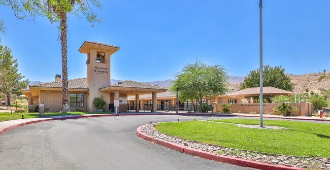
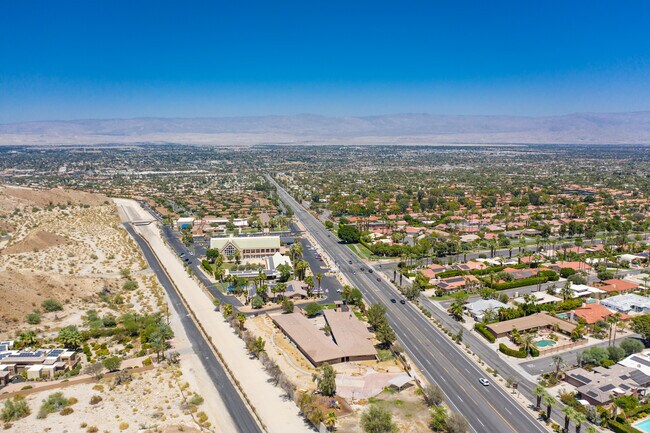
Property Record
47549 Highway 74, Palm Desert, CA 92260


NEARBY LISTINGS FOR SALE OR LEASE
Property Detail
47549 Highway 74
628-140-011
Parcel Map 36700
Publicschool
1.57 ACRES IN PAR 2 PM 242/003 PM 36700
X
Riverside
06065C2209H
California
2024
1.57 AC
2025
Coachella Valley
045116
Inland Empire (California)
10,478 SF
Riverside-San Bernardino-Ontario, CA
DEMOGRAPHICS near 47549 Highway 74
1 Mile
3 Mile
5 Mile
2024 Total Population
6,787
33,765
70,168
2029 Population
7,579
37,402
77,993
Pop Growth 2024-2029
+ 11.67%
+ 10.77%
+ 11.15%
Average Age
55
50
54
2024 Total Households
3,486
16,050
34,441
HH Growth 2024-2029
+ 11.30%
+ 10.67%
+ 11.00%
Median Household Inc
$80,905
$76,144
$82,811
Avg Household Size
1.90
2.00
2.00
2024 Avg HH Vehicles
2.00
2.00
2.00
Median Home Value
$677,019
$649,955
$631,889
Median Year Built
1977
1979
1983
Nearby Places
Map Layers
Map Styles
 Street
 Aerial
- Restaurants
- Banks
- Shops
- Fitness
- Groceries
PUBLIC TRANSPORTATION
AIRPORT
Palm Springs International
DRIVE
WALK
Distance
Palm Springs International
23 min
12.8 mi
Freight Ports
Port of San Diego
DRIVE
WALK
Distance
Port of San Diego
159 min
120.8 mi
SALE & LEASE HISTORY
LISTING DATE
SALE/LEASE

Aug 18, 2020
For Sale
Nearby Properties
Address
Land Use
TOTAL SIZE
Lot Size
Zoning
Address
Land Use
TOTAL SIZE
Lot Size
Zoning
52,981 SF
16.98 AC
Address
Land Use
TOTAL SIZE
Lot Size
Zoning
400,240 SF
9.40 AC
PR060
Address
Land Use
TOTAL SIZE
Lot Size
Zoning
445,569 SF
17.55 AC
PUDC
Address
Land Use
TOTAL SIZE
Lot Size
Zoning
21,118 SF
162.93 AC
Address
Land Use
TOTAL SIZE
Lot Size
Zoning
179,685 SF
9.36 AC
Address
Land Use
TOTAL SIZE
Lot Size
Zoning
137,962 SF
8.90 AC
Address
Land Use
TOTAL SIZE
Lot Size
Zoning
30,961 SF
14.07 AC
W1
Address
Land Use
TOTAL SIZE
Lot Size
Zoning
150,818 SF
2.02 AC
R3
Address
Land Use
TOTAL SIZE
Lot Size
Zoning
41,533 SF
1.38 AC
C1SP
Address
Land Use
TOTAL SIZE
Lot Size
Zoning
209,000 SF
7.12 AC
Address
Land Use
TOTAL SIZE
Lot Size
Zoning
82,028 SF
8.32 AC
PR6
Address
Land Use
TOTAL SIZE
Lot Size
Zoning
44,823 SF
12.07 AC
CG
Address
Land Use
TOTAL SIZE
Lot Size
Zoning
65,000 SF
9.51 AC
Address
Land Use
TOTAL SIZE
Lot Size
Zoning
86,064 SF
6.95 AC
Address
Land Use
TOTAL SIZE
Lot Size
Zoning
50,318 SF
0.87 AC
PR060
Address
Land Use
TOTAL SIZE
Lot Size
Zoning
66,156 SF
5.85 AC
Address
Land Use
TOTAL SIZE
Lot Size
Zoning
124,230 SF
9.83 AC
Address
Land Use
TOTAL SIZE
Lot Size
Zoning
61,100 SF
5.82 AC
Address
Land Use
TOTAL SIZE
Lot Size
Zoning
64,836 SF
5.91 AC
HW
Address
Land Use
TOTAL SIZE
Lot Size
Zoning
52,871 SF
4.13 AC
Address
Land Use
TOTAL SIZE
Lot Size
Zoning
71,665 SF
3.31 AC
CN
Address
Land Use
TOTAL SIZE
Lot Size
Zoning
78,310 SF
6.25 AC
PC3
Address
Land Use
TOTAL SIZE
Lot Size
Zoning
6.99 AC
Address
Land Use
TOTAL SIZE
Lot Size
Zoning
49,980 SF
4.29 AC
Address
Land Use
TOTAL SIZE
Lot Size
Zoning
55,369 SF
4.60 AC
R3
Address
Land Use
TOTAL SIZE
Lot Size
Zoning
57,402 SF
4.17 AC
Address
Land Use
TOTAL SIZE
Lot Size
Zoning
250.03 AC
R11
Address
Land Use
TOTAL SIZE
Lot Size
Zoning
33,087 SF
1.64 AC
C1
Address
Land Use
TOTAL SIZE
Lot Size
Zoning
5.15 AC
CG
Address
Land Use
TOTAL SIZE
Lot Size
Zoning
62,410 SF
4.17 AC
S
The World's #1 Commercial Real Estate Marketplace
Connect with us
© 2025 CoStar Group
The information above has been obtained from sources believed reliable. While we do not doubt its accuracy we have not verified it and make no guarantee, warranty or representation about it. It is your responsibility to independently confirm its accuracy and completeness. Any projections, opinions, assumptions, or estimates used are for example only and do not represent the current or future performance of the property. The value of this transaction to you depends on tax and other factors which should be evaluated by your tax, financial, and legal advisors. You and your advisors should conduct a careful, independent investigation of the property to determine to your satisfaction the suitability of the property for your needs.