Property Record
4780 State Road 44, Oshkosh, WI 54904

NEARBY LISTINGS FOR SALE OR LEASE
Property Detail
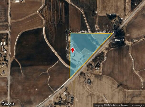
4780 State Road 44
012-012305
THAT PT NE NW LYG N & W OF HWY 12.51 A.
Commercialnec
Winnebago
X
Wisconsin
55039C0075F
12.51 AC
2024
Appleton/Oshkosh
2024
Other Market Areas
001900
Oshkosh-Neenah, WI
DEMOGRAPHICS near 4780 State Road 44
1 Mile
3 Mile
5 Mile
2024 Total Population
122
3,683
24,741
2029 Population
122
3,693
24,962
Pop Growth 2024-2029
0.00%
+ 0.27%
+ 0.89%
Average Age
45
43
43
2024 Total Households
56
1,529
11,184
HH Growth 2024-2029
0.00%
+ 0.07%
+ 0.98%
Median Household Inc
$87,500
$90,484
$63,974
Avg Household Size
2.20
2.40
2.20
2024 Avg HH Vehicles
2.00
2.00
2.00
Median Home Value
$257,692
$226,401
$189,515
Median Year Built
1993
1994
1989
Nearby Places
Map Layers
Map Styles
 Street
 Aerial
- Restaurants
- Banks
- Shops
- Fitness
- Groceries
PUBLIC TRANSPORTATION
AIRPORT
Appleton International
DRIVE
WALK
Distance
Appleton International
35 min
26.4 mi
Freight Ports
Port Milwaukee
DRIVE
WALK
Distance
Port Milwaukee
105 min
88.9 mi
Nearby Properties
Address
Land Use
TOTAL SIZE
Lot Size
Zoning
Address
Land Use
TOTAL SIZE
Lot Size
Zoning
15.37 AC
SMU-PD
Address
Land Use
TOTAL SIZE
Lot Size
Zoning
18.38 AC
UIPD
Address
Land Use
TOTAL SIZE
Lot Size
Zoning
41.70 AC
HI
Address
Land Use
TOTAL SIZE
Lot Size
Zoning
271,088 SF
36.80 AC
M3
Address
Land Use
TOTAL SIZE
Lot Size
Zoning
341,904 SF
40.71 AC
HI
Address
Land Use
TOTAL SIZE
Lot Size
Zoning
32,430 SF
7.44 AC
M1
Address
Land Use
TOTAL SIZE
Lot Size
Zoning
28,512 SF
6.20 AC
M1
Address
Land Use
TOTAL SIZE
Lot Size
Zoning
42,092 SF
3.21 AC
C2
Address
Land Use
TOTAL SIZE
Lot Size
Zoning
126,814 SF
22.60 AC
HI
Address
Land Use
TOTAL SIZE
Lot Size
Zoning
210,000 SF
10.02 AC
M3
Address
Land Use
TOTAL SIZE
Lot Size
Zoning
62,880 SF
5.78 AC
M3
Address
Land Use
TOTAL SIZE
Lot Size
Zoning
66,456 SF
5.91 AC
MR-12-PD
Address
Land Use
TOTAL SIZE
Lot Size
Zoning
38,858 SF
8.15 AC
M1
Address
Land Use
TOTAL SIZE
Lot Size
Zoning
115,624 SF
14.41 AC
M3
Address
Land Use
TOTAL SIZE
Lot Size
Zoning
13.67 AC
Address
Land Use
TOTAL SIZE
Lot Size
Zoning
13.75 AC
Address
Land Use
TOTAL SIZE
Lot Size
Zoning
16.34 AC
Address
Land Use
TOTAL SIZE
Lot Size
Zoning
20,544 SF
4.16 AC
M-1PD
Address
Land Use
TOTAL SIZE
Lot Size
Zoning
67,734 SF
5.62 AC
MR-12-PD
Address
Land Use
TOTAL SIZE
Lot Size
Zoning
128,207 SF
23.47 AC
HI
Address
Land Use
TOTAL SIZE
Lot Size
Zoning
150,000 SF
17.87 AC
M3
Address
Land Use
TOTAL SIZE
Lot Size
Zoning
162,500 SF
11.58 AC
M3
Address
Land Use
TOTAL SIZE
Lot Size
Zoning
596 SF
4.94 AC
R3
Address
Land Use
TOTAL SIZE
Lot Size
Zoning
89,520 SF
7 AC
M3
Address
Land Use
TOTAL SIZE
Lot Size
Zoning
561 SF
8.24 AC
R3
Address
Land Use
TOTAL SIZE
Lot Size
Zoning
26.03 AC
Address
Land Use
TOTAL SIZE
Lot Size
Zoning
57,297 SF
3.23 AC
M1
Address
Land Use
TOTAL SIZE
Lot Size
Zoning
137,036 SF
17.33 AC
M3
Address
Land Use
TOTAL SIZE
Lot Size
Zoning
26.05 AC
Address
Land Use
TOTAL SIZE
Lot Size
Zoning
101,265 SF
9.76 AC
M3
The World's #1 Commercial Real Estate Marketplace
Connect with us
© 2026 CoStar Group
The information above has been obtained from sources believed reliable. While we do not doubt its accuracy we have not verified it and make no guarantee, warranty or representation about it. It is your responsibility to independently confirm its accuracy and completeness. Any projections, opinions, assumptions, or estimates used are for example only and do not represent the current or future performance of the property. The value of this transaction to you depends on tax and other factors which should be evaluated by your tax, financial, and legal advisors. You and your advisors should conduct a careful, independent investigation of the property to determine to your satisfaction the suitability of the property for your needs.