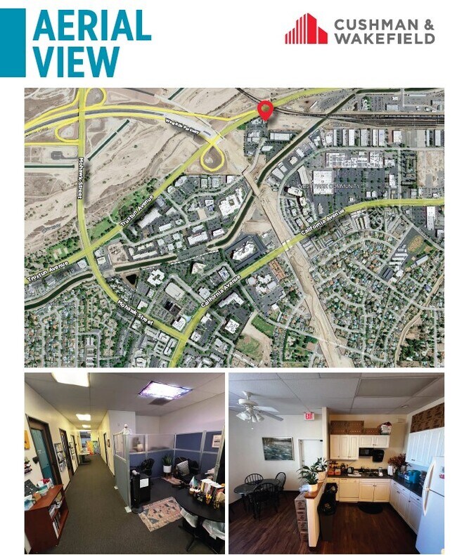
Property Record
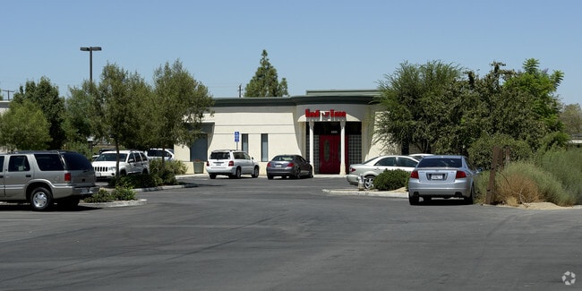
4801 Truxtun Ave, Bakersfield, CA 93309

Current Lease Availabilities
Property Detail
4801 Truxtun Ave
Bakersfield-Delano, CA
PARCEL MAP 10788 , LOT 2
332-256-53-00-9
KERN
Medicalbuilding
California
B and X Area of moderate flood hazard, usually the area between the limits of the 100-year and 500-year floods.
2
2024
0.51 AC
2025
Southwest Bakersfield
001804
Bakersfield
5,179 SF
NEARBY LISTINGS FOR SALE OR LEASE
DEMOGRAPHICS near 4801 Truxtun Ave
1 mile
3 mile
5 mile
2025 Total Population
4,304
102,136
329,319
2030 Population
4,344
103,177
333,121
Pop Growth 2025-2030
+ 0.93%
+ 1.02%
+ 1.15%
Average Age
36
36
36
2025 Total Households
1,614
37,430
110,740
HH Growth 2025-2030
+ 0.99%
+ 1.09%
+ 1.19%
Median Household Inc
$57,636
$59,349
$65,103
Avg Household Size
2.50
2.60
2.90
2025 Avg HH Vehicles
2.00
2.00
2.00
Median Home Value
$315,789
$325,888
$347,469
Median Year Built
1975
1973
1979
Nearby Places
Map Layers
Map Styles
 Street
 Aerial
Layers
 Traffic
 Biking
Places
Listings with unknown addresses are not visible on the map
- Restaurants
- Banks
- Shops
- Fitness
- Groceries
PUBLIC TRANSPORTATION
COMMUTER RAIL
Drive
Walk
Distance
10 min
3.9 mi
AIRPORT
Meadows Field
Drive
Walk
Distance
Meadows Field
19 min
7.2 mi
Nearby Properties
Address
Land Use
TOTAL SIZE
Lot Size
Zoning
Address
Land Use
TOTAL SIZE
Lot Size
Zoning
60.03 AC
M-3
Address
Land Use
TOTAL SIZE
Lot Size
Zoning
23,615 SF
39.38 AC
C2
Address
Land Use
TOTAL SIZE
Lot Size
Zoning
3,788 SF
54.09 AC
M3
Address
Land Use
TOTAL SIZE
Lot Size
Zoning
104,693 SF
2.09 AC
HOSP
Address
Land Use
TOTAL SIZE
Lot Size
Zoning
Address
Land Use
TOTAL SIZE
Lot Size
Zoning
1,200 SF
5.89 AC
M-1
Address
Land Use
TOTAL SIZE
Lot Size
Zoning
85,971 SF
5.31 AC
C-2
Address
Land Use
TOTAL SIZE
Lot Size
Zoning
59,242 SF
3.01 AC
C2
Address
Land Use
TOTAL SIZE
Lot Size
Zoning
112,849 SF
5.31 AC
C-2
Address
Land Use
TOTAL SIZE
Lot Size
Zoning
114,500 SF
12.02 AC
C-2
Address
Land Use
TOTAL SIZE
Lot Size
Zoning
2,032 SF
11.08 AC
M3
Address
Land Use
TOTAL SIZE
Lot Size
Zoning
1 SF
14.26 AC
R-2 PUD
Address
Land Use
TOTAL SIZE
Lot Size
Zoning
386,282 SF
14.05 AC
Address
Land Use
TOTAL SIZE
Lot Size
Zoning
155,550 SF
18.51 AC
M2
Address
Land Use
TOTAL SIZE
Lot Size
Zoning
253,532 SF
14.69 AC
Address
Land Use
TOTAL SIZE
Lot Size
Zoning
63,428 SF
5.18 AC
C-2
Address
Land Use
TOTAL SIZE
Lot Size
Zoning
185,181 SF
14.67 AC
C2
Address
Land Use
TOTAL SIZE
Lot Size
Zoning
41,394 SF
14.74 AC
Address
Land Use
TOTAL SIZE
Lot Size
Zoning
188,976 SF
4.92 AC
Address
Land Use
TOTAL SIZE
Lot Size
Zoning
15,027 SF
17.72 AC
C-2
Address
Land Use
TOTAL SIZE
Lot Size
Zoning
87,389 SF
1.76 AC
M1
Address
Land Use
TOTAL SIZE
Lot Size
Zoning
161,539 SF
4 AC
CO
Address
Land Use
TOTAL SIZE
Lot Size
Zoning
233,512 SF
9.19 AC
R-3
Address
Land Use
TOTAL SIZE
Lot Size
Zoning
214,746 SF
14.91 AC
Address
Land Use
TOTAL SIZE
Lot Size
Zoning
66,849 SF
5.32 AC
CO
Address
Land Use
TOTAL SIZE
Lot Size
Zoning
79,325 SF
7.77 AC
C-2
Address
Land Use
TOTAL SIZE
Lot Size
Zoning
71,000 SF
5.89 AC
C-2
Address
Land Use
TOTAL SIZE
Lot Size
Zoning
193,524 SF
2.34 AC
C-O
Address
Land Use
TOTAL SIZE
Lot Size
Zoning
1,949 SF
6.43 AC
R-2
Address
Land Use
TOTAL SIZE
Lot Size
Zoning
51,666 SF
6.08 AC
C2
The World's #1 Commercial Real Estate Marketplace
Connect with us
© 2026 CoStar Group
The information above has been obtained from sources believed reliable. While we do not doubt its accuracy we have not verified it and make no guarantee, warranty or representation about it. It is your responsibility to independently confirm its accuracy and completeness. Any projections, opinions, assumptions, or estimates used are for example only and do not represent the current or future performance of the property. The value of this transaction to you depends on tax and other factors which should be evaluated by your tax, financial, and legal advisors. You and your advisors should conduct a careful, independent investigation of the property to determine to your satisfaction the suitability of the property for your needs.