Property Record
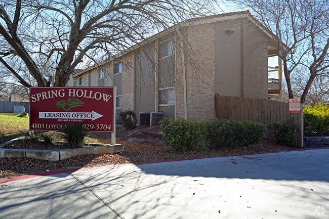
4803 Loyola Ln, Austin, TX 78723


NEARBY LISTINGS FOR SALE OR LEASE
Property Detail
4803 Loyola Ln
Austin-Round Rock, TX
Bluffs Of University Hills Resub Of Lts
219437
E 1.24ACR OF LOT 2B BLUFFS OF UNIVERSITY HILLS RESUB OF LTS 1 & 2 BLK A
Multifamilydwelling
Travis
X
Texas
48453C0470K
2b
2024
1.24 AC
2025
Walnut Creek Greenbelt
002108
Austin
20,064 SF
DEMOGRAPHICS near 4803 Loyola Ln
1 Mile
3 Mile
5 Mile
2024 Total Population
12,823
94,534
278,620
2029 Population
14,183
103,428
303,840
Pop Growth 2024-2029
+ 10.61%
+ 9.41%
+ 9.05%
Average Age
38
36
35
2024 Total Households
4,868
35,948
112,660
HH Growth 2024-2029
+ 11.48%
+ 10.16%
+ 10.07%
Median Household Inc
$69,573
$62,848
$62,337
Avg Household Size
2.50
2.50
2.30
2024 Avg HH Vehicles
2.00
2.00
2.00
Median Home Value
$407,056
$408,292
$441,665
Median Year Built
1979
1989
1988
Nearby Places
Map Layers
Map Styles
 Street
 Aerial
- Restaurants
- Banks
- Shops
- Fitness
- Groceries
PUBLIC TRANSPORTATION
COMMUTER RAIL
DRIVE
WALK
Distance
15 min
7.5 mi
AIRPORT
Austin-Bergstrom International
DRIVE
WALK
Distance
Austin-Bergstrom International
23 min
12.8 mi
Nearby Properties
Address
Land Use
TOTAL SIZE
Lot Size
Zoning
Address
Land Use
TOTAL SIZE
Lot Size
Zoning
548,399 SF
23.82 AC
Address
Land Use
TOTAL SIZE
Lot Size
Zoning
19,284 SF
178.26 AC
Address
Land Use
TOTAL SIZE
Lot Size
Zoning
241,998 SF
2.42 AC
Address
Land Use
TOTAL SIZE
Lot Size
Zoning
322,150 SF
3.83 AC
Address
Land Use
TOTAL SIZE
Lot Size
Zoning
432,032 SF
6.70 AC
Address
Land Use
TOTAL SIZE
Lot Size
Zoning
609,823 SF
3.33 AC
Address
Land Use
TOTAL SIZE
Lot Size
Zoning
372,075 SF
4.97 AC
Address
Land Use
TOTAL SIZE
Lot Size
Zoning
265,000 SF
1.57 AC
Address
Land Use
TOTAL SIZE
Lot Size
Zoning
297,356 SF
4.32 AC
Address
Land Use
TOTAL SIZE
Lot Size
Zoning
288,750 SF
4.81 AC
Address
Land Use
TOTAL SIZE
Lot Size
Zoning
367,756 SF
10.66 AC
Address
Land Use
TOTAL SIZE
Lot Size
Zoning
425,200 SF
2.49 AC
Address
Land Use
TOTAL SIZE
Lot Size
Zoning
126.15 AC
Address
Land Use
TOTAL SIZE
Lot Size
Zoning
274,943 SF
42.35 AC
Address
Land Use
TOTAL SIZE
Lot Size
Zoning
250,800 SF
12.41 AC
Address
Land Use
TOTAL SIZE
Lot Size
Zoning
236,688 SF
3.64 AC
Address
Land Use
TOTAL SIZE
Lot Size
Zoning
376,385 SF
26.47 AC
Address
Land Use
TOTAL SIZE
Lot Size
Zoning
84,920 SF
74.13 AC
Address
Land Use
TOTAL SIZE
Lot Size
Zoning
555,296 SF
4.07 AC
Address
Land Use
TOTAL SIZE
Lot Size
Zoning
278,429 SF
3.76 AC
Address
Land Use
TOTAL SIZE
Lot Size
Zoning
306,658 SF
9.49 AC
Address
Land Use
TOTAL SIZE
Lot Size
Zoning
76,454 SF
199.64 AC
Address
Land Use
TOTAL SIZE
Lot Size
Zoning
115,640 SF
18 AC
Address
Land Use
TOTAL SIZE
Lot Size
Zoning
274,864 SF
3.33 AC
Address
Land Use
TOTAL SIZE
Lot Size
Zoning
320,797 SF
12.04 AC
Address
Land Use
TOTAL SIZE
Lot Size
Zoning
252,450 SF
2.72 AC
Address
Land Use
TOTAL SIZE
Lot Size
Zoning
148,390 SF
15.86 AC
Address
Land Use
TOTAL SIZE
Lot Size
Zoning
233,267 SF
21.31 AC
Address
Land Use
TOTAL SIZE
Lot Size
Zoning
254,796 SF
11.29 AC
Address
Land Use
TOTAL SIZE
Lot Size
Zoning
277,987 SF
11.01 AC
The World's #1 Commercial Real Estate Marketplace
Connect with us
© 2025 CoStar Group
The information above has been obtained from sources believed reliable. While we do not doubt its accuracy we have not verified it and make no guarantee, warranty or representation about it. It is your responsibility to independently confirm its accuracy and completeness. Any projections, opinions, assumptions, or estimates used are for example only and do not represent the current or future performance of the property. The value of this transaction to you depends on tax and other factors which should be evaluated by your tax, financial, and legal advisors. You and your advisors should conduct a careful, independent investigation of the property to determine to your satisfaction the suitability of the property for your needs.