Property Record
4804 W 2Nd St, Taylor, TX 76574


Property Detail
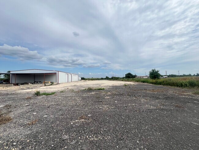
4804 W 2Nd St
R362909
AW0213 EAVES, J.C. SUR., ACRES 52.29
Farms
WILLIAMSON
A Areas with a 1% annual chance of flooding and a 26% chance of flooding over the life of a 30-year mortgage.
Texas
2024
52.29 AC
2025
Georgetown
020808
Austin
14,250 SF
Austin-Round Rock-San Marcos, TX
NEARBY LISTINGS FOR SALE OR LEASE
DEMOGRAPHICS near 4804 W 2Nd St
1 mile
3 mile
5 mile
2024 Total Population
49
7,214
34,622
2029 Population
61
9,260
43,748
Pop Growth 2024-2029
+ 24.49%
+ 28.36%
+ 26.36%
Average Age
42
41
38
2024 Total Households
18
2,772
12,179
HH Growth 2024-2029
+ 27.78%
+ 28.75%
+ 26.91%
Median Household Inc
$44,999
$71,560
$75,927
Avg Household Size
2.40
2.60
2.80
2024 Avg HH Vehicles
2.00
2.00
2.00
Median Home Value
$474,999
$230,572
$278,084
Median Year Built
1979
1990
2001
Nearby Places
Map Layers
Map Styles
 Street
 Aerial
Transit
 Traffic
 Biking
Places
Listings with unknown addresses are not visible on the map
- Restaurants
- Banks
- Shops
- Fitness
- Groceries
PUBLIC TRANSPORTATION
COMMUTER RAIL
Taylor Amtrak (Texas Eagle - Amtrak)
Drive
Walk
Distance
Taylor Amtrak (Texas Eagle - Amtrak)
6 min
4.7 mi
AIRPORT
Austin-Bergstrom International
Drive
Walk
Distance
Austin-Bergstrom International
47 min
37.7 mi
Freight Ports
Calhoun Port
Drive
Walk
Distance
Calhoun Port
208 min
180.7 mi
SALE & LEASE HISTORY
LISTING DATE
SALE/LEASE

Jul 24, 2024
For Lease
Nearby Properties
Address
Land Use
TOTAL SIZE
Lot Size
Zoning
Address
Land Use
TOTAL SIZE
Lot Size
Zoning
208,704 SF
20.56 AC
2-M1
Address
Land Use
TOTAL SIZE
Lot Size
Zoning
367,116 SF
21.71 AC
Address
Land Use
TOTAL SIZE
Lot Size
Zoning
46.70 AC
Address
Land Use
TOTAL SIZE
Lot Size
Zoning
859.64 AC
Address
Land Use
TOTAL SIZE
Lot Size
Zoning
205,355 SF
13.24 AC
Address
Land Use
TOTAL SIZE
Lot Size
Zoning
192 SF
102.19 AC
Address
Land Use
TOTAL SIZE
Lot Size
Zoning
311,017 SF
39.81 AC
Address
Land Use
TOTAL SIZE
Lot Size
Zoning
133,666 SF
64.51 AC
2-M1
Address
Land Use
TOTAL SIZE
Lot Size
Zoning
68,657 SF
117.84 AC
2-M1
Address
Land Use
TOTAL SIZE
Lot Size
Zoning
183,955 SF
30.94 AC
Address
Land Use
TOTAL SIZE
Lot Size
Zoning
83,300 SF
10.35 AC
Address
Land Use
TOTAL SIZE
Lot Size
Zoning
59.01 AC
Address
Land Use
TOTAL SIZE
Lot Size
Zoning
42.43 AC
Address
Land Use
TOTAL SIZE
Lot Size
Zoning
72,094 SF
4.97 AC
Address
Land Use
TOTAL SIZE
Lot Size
Zoning
15.72 AC
Address
Land Use
TOTAL SIZE
Lot Size
Zoning
216.42 AC
Address
Land Use
TOTAL SIZE
Lot Size
Zoning
29,096 SF
14.67 AC
Address
Land Use
TOTAL SIZE
Lot Size
Zoning
16,485 SF
6.75 AC
Address
Land Use
TOTAL SIZE
Lot Size
Zoning
6,366 SF
26.29 AC
Address
Land Use
TOTAL SIZE
Lot Size
Zoning
35.12 AC
Address
Land Use
TOTAL SIZE
Lot Size
Zoning
40,000 SF
7 AC
Address
Land Use
TOTAL SIZE
Lot Size
Zoning
50,050 SF
5.42 AC
Address
Land Use
TOTAL SIZE
Lot Size
Zoning
51.19 AC
Address
Land Use
TOTAL SIZE
Lot Size
Zoning
25.90 AC
Address
Land Use
TOTAL SIZE
Lot Size
Zoning
49.84 AC
Address
Land Use
TOTAL SIZE
Lot Size
Zoning
29,694 SF
5.64 AC
Address
Land Use
TOTAL SIZE
Lot Size
Zoning
116,792 SF
5.97 AC
2-M1
Address
Land Use
TOTAL SIZE
Lot Size
Zoning
18,798 SF
1.67 AC
Address
Land Use
TOTAL SIZE
Lot Size
Zoning
33,080 SF
8.09 AC
Address
Land Use
TOTAL SIZE
Lot Size
Zoning
20,244 SF
2.62 AC
3-B1
The World's #1 Commercial Real Estate Marketplace
Connect with us
© 2026 CoStar Group
The information above has been obtained from sources believed reliable. While we do not doubt its accuracy we have not verified it and make no guarantee, warranty or representation about it. It is your responsibility to independently confirm its accuracy and completeness. Any projections, opinions, assumptions, or estimates used are for example only and do not represent the current or future performance of the property. The value of this transaction to you depends on tax and other factors which should be evaluated by your tax, financial, and legal advisors. You and your advisors should conduct a careful, independent investigation of the property to determine to your satisfaction the suitability of the property for your needs.