Property Record
4805 W College Ave, Greendale, WI 53129


NEARBY LISTINGS FOR SALE OR LEASE
-
-
View all Greendale listings for sale on LoopNet.com
Property Detail
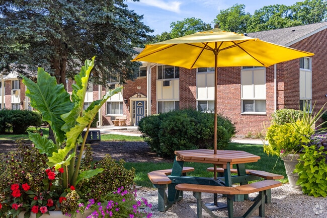
4805 W College Ave
Milwaukee-Waukesha-West Allis, WI
Certified Surv Map 687
712-9996-003
CERTIFIED SURVEY MAP NO 687 NE 2-5-21 PARCELS 1 AND 2
Commercialnec
Milwaukee
X
Wisconsin
55079C0161E
1
2024
13.95 AC
2024
Southern Milwaukee County
140202
Milwaukee/Madison
DEMOGRAPHICS near 4805 W College Ave
1 Mile
3 Mile
5 Mile
2024 Total Population
9,349
69,755
205,168
2029 Population
9,064
67,826
199,881
Pop Growth 2024-2029
(3.05%)
(2.77%)
(2.58%)
Average Age
41
42
41
2024 Total Households
3,650
29,276
85,515
HH Growth 2024-2029
(3.15%)
(2.79%)
(2.65%)
Median Household Inc
$79,382
$71,692
$70,147
Avg Household Size
2.50
2.30
2.30
2024 Avg HH Vehicles
2.00
2.00
2.00
Median Home Value
$265,504
$251,251
$226,900
Median Year Built
1969
1971
1966
Nearby Places
Map Layers
Map Styles
 Street
 Aerial
- Restaurants
- Banks
- Shops
- Fitness
- Groceries
PUBLIC TRANSPORTATION
COMMUTER RAIL
General Mitchell Intl. Airport Amtrak Station (Hiawatha Service - Amtrak)
DRIVE
WALK
Distance
General Mitchell Intl. Airport Amtrak Station (Hiawatha Service - Amtrak)
11 min
4.1 mi
AIRPORT
General Mitchell International
DRIVE
WALK
Distance
General Mitchell International
11 min
5.0 mi
Freight Ports
Port Milwaukee
DRIVE
WALK
Distance
Port Milwaukee
15 min
9.0 mi
Nearby Properties
Address
Land Use
TOTAL SIZE
Lot Size
Zoning
Address
Land Use
TOTAL SIZE
Lot Size
Zoning
Address
Land Use
TOTAL SIZE
Lot Size
Zoning
19.92 AC
Address
Land Use
TOTAL SIZE
Lot Size
Zoning
33.80 AC
Address
Land Use
TOTAL SIZE
Lot Size
Zoning
28.76 AC
Address
Land Use
TOTAL SIZE
Lot Size
Zoning
17.46 AC
Address
Land Use
TOTAL SIZE
Lot Size
Zoning
Address
Land Use
TOTAL SIZE
Lot Size
Zoning
16.06 AC
Address
Land Use
TOTAL SIZE
Lot Size
Zoning
23.09 AC
Address
Land Use
TOTAL SIZE
Lot Size
Zoning
5.74 AC
Address
Land Use
TOTAL SIZE
Lot Size
Zoning
63,273 SF
5.42 AC
Address
Land Use
TOTAL SIZE
Lot Size
Zoning
17.47 AC
R2
Address
Land Use
TOTAL SIZE
Lot Size
Zoning
Address
Land Use
TOTAL SIZE
Lot Size
Zoning
262,150 SF
14.62 AC
PUDR5
Address
Land Use
TOTAL SIZE
Lot Size
Zoning
8.79 AC
RESIDENTIA
Address
Land Use
TOTAL SIZE
Lot Size
Zoning
238,201 SF
17.96 AC
PUDR5
Address
Land Use
TOTAL SIZE
Lot Size
Zoning
228,912 SF
16.77 AC
Address
Land Use
TOTAL SIZE
Lot Size
Zoning
Address
Land Use
TOTAL SIZE
Lot Size
Zoning
21.72 AC
RESIDENTIA
Address
Land Use
TOTAL SIZE
Lot Size
Zoning
162,138 SF
9.15 AC
PD
Address
Land Use
TOTAL SIZE
Lot Size
Zoning
213,964 SF
13.94 AC
PUDR5
Address
Land Use
TOTAL SIZE
Lot Size
Zoning
16.48 AC
Address
Land Use
TOTAL SIZE
Lot Size
Zoning
13.84 AC
Address
Land Use
TOTAL SIZE
Lot Size
Zoning
4.27 AC
Address
Land Use
TOTAL SIZE
Lot Size
Zoning
15.78 AC
Address
Land Use
TOTAL SIZE
Lot Size
Zoning
11.33 AC
Address
Land Use
TOTAL SIZE
Lot Size
Zoning
152,130 SF
7.68 AC
PD
Address
Land Use
TOTAL SIZE
Lot Size
Zoning
Address
Land Use
TOTAL SIZE
Lot Size
Zoning
130,723 SF
12.94 AC
C2
Address
Land Use
TOTAL SIZE
Lot Size
Zoning
Address
Land Use
TOTAL SIZE
Lot Size
Zoning
65,227 SF
4.29 AC
The World's #1 Commercial Real Estate Marketplace
Connect with us
© 2025 CoStar Group
The information above has been obtained from sources believed reliable. While we do not doubt its accuracy we have not verified it and make no guarantee, warranty or representation about it. It is your responsibility to independently confirm its accuracy and completeness. Any projections, opinions, assumptions, or estimates used are for example only and do not represent the current or future performance of the property. The value of this transaction to you depends on tax and other factors which should be evaluated by your tax, financial, and legal advisors. You and your advisors should conduct a careful, independent investigation of the property to determine to your satisfaction the suitability of the property for your needs.