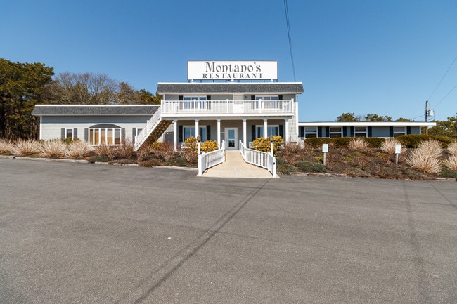
Property Record
481 Route 6, Truro, MA 02666


Property Detail
481 Route 6
Commercialofficeresidentialmixeduse
BARNSTABLE
NAT'L
Massachusetts
B and X Area of moderate flood hazard, usually the area between the limits of the 100-year and 500-year floods.
4.13 AC
2017
Cape Cod
2025
Other Market Areas
010208
Barnstable Town, MA
6,426 SF
TRUR-000032-000000-000031
NEARBY LISTINGS FOR SALE OR LEASE
-
-
View all Truro listings for sale on LoopNet.com
DEMOGRAPHICS near 481 Route 6
1 mile
3 mile
5 mile
2025 Total Population
409
1,017
4,631
2030 Population
364
897
4,586
Pop Growth 2025-2030
(11.00%)
(11.80%)
(0.97%)
Average Age
54
55
56
2025 Total Households
200
517
2,606
HH Growth 2025-2030
(11.00%)
(12.38%)
(0.81%)
Median Household Inc
$103,261
$103,602
$97,380
Avg Household Size
1.90
1.90
1.70
2025 Avg HH Vehicles
2.00
2.00
1.00
Median Home Value
$900,567
$895,046
$819,218
Median Year Built
1971
1983
1971
Nearby Places
Map Layers
Map Styles
 Street
 Aerial
Layers
 Traffic
 Biking
Places
Listings with unknown addresses are not visible on the map
- Restaurants
- Banks
- Shops
- Fitness
- Groceries
SALE & LEASE HISTORY
LISTING DATE
SALE/LEASE

Sep 15, 2023
For Sale
Aug 25, 2021
For Sale
Apr 19, 2019
For Sale
Nearby Properties
Address
Land Use
TOTAL SIZE
Lot Size
Zoning
Address
Land Use
TOTAL SIZE
Lot Size
Zoning
35,832 SF
1.93 AC
RES1
Address
Land Use
TOTAL SIZE
Lot Size
Zoning
1,320 SF
27.09 AC
LB RT
Address
Land Use
TOTAL SIZE
Lot Size
Zoning
0.36 AC
RESIDE
Address
Land Use
TOTAL SIZE
Lot Size
Zoning
7.28 AC
NAT'L
Address
Land Use
TOTAL SIZE
Lot Size
Zoning
6,501 SF
1.33 AC
RESIDE
Address
Land Use
TOTAL SIZE
Lot Size
Zoning
813 SF
4.92 AC
LB BEA
Address
Land Use
TOTAL SIZE
Lot Size
Zoning
1.78 AC
RESIDE
Address
Land Use
TOTAL SIZE
Lot Size
Zoning
4,587 SF
1.36 AC
RESIDE
Address
Land Use
TOTAL SIZE
Lot Size
Zoning
3 AC
RESIDE
Address
Land Use
TOTAL SIZE
Lot Size
Zoning
1.17 AC
RESIDE
Address
Land Use
TOTAL SIZE
Lot Size
Zoning
80,981 SF
124.30 AC
NAT'L
Address
Land Use
TOTAL SIZE
Lot Size
Zoning
1,496 SF
0.09 AC
RES2
Address
Land Use
TOTAL SIZE
Lot Size
Zoning
1.21 AC
RESIDE
Address
Land Use
TOTAL SIZE
Lot Size
Zoning
9,570 SF
1.72 AC
RESIDE
Address
Land Use
TOTAL SIZE
Lot Size
Zoning
1.77 AC
RESIDE
Address
Land Use
TOTAL SIZE
Lot Size
Zoning
10.66 AC
LIBRAR
Address
Land Use
TOTAL SIZE
Lot Size
Zoning
18.68 AC
NAT'L
Address
Land Use
TOTAL SIZE
Lot Size
Zoning
31,171 SF
7.94 AC
RESIDE
Address
Land Use
TOTAL SIZE
Lot Size
Zoning
22.67 AC
NAT'L
Address
Land Use
TOTAL SIZE
Lot Size
Zoning
3 AC
NAT'L
Address
Land Use
TOTAL SIZE
Lot Size
Zoning
3 AC
NAT'L
Address
Land Use
TOTAL SIZE
Lot Size
Zoning
1,662 SF
3.55 AC
NAT'L
Address
Land Use
TOTAL SIZE
Lot Size
Zoning
11.95 AC
NAT'L
Address
Land Use
TOTAL SIZE
Lot Size
Zoning
1,233 SF
1.07 AC
RESIDE
Address
Land Use
TOTAL SIZE
Lot Size
Zoning
2.30 AC
LB BEA
Address
Land Use
TOTAL SIZE
Lot Size
Zoning
1.70 AC
RESIDE
Address
Land Use
TOTAL SIZE
Lot Size
Zoning
6,743 SF
0.91 AC
RESIDE
Address
Land Use
TOTAL SIZE
Lot Size
Zoning
1.21 AC
RESIDE
Address
Land Use
TOTAL SIZE
Lot Size
Zoning
57.27 AC
NAT'L
Address
Land Use
TOTAL SIZE
Lot Size
Zoning
1.76 AC
LB BEA
The World's #1 Commercial Real Estate Marketplace
Connect with us
© 2026 CoStar Group
The information above has been obtained from sources believed reliable. While we do not doubt its accuracy we have not verified it and make no guarantee, warranty or representation about it. It is your responsibility to independently confirm its accuracy and completeness. Any projections, opinions, assumptions, or estimates used are for example only and do not represent the current or future performance of the property. The value of this transaction to you depends on tax and other factors which should be evaluated by your tax, financial, and legal advisors. You and your advisors should conduct a careful, independent investigation of the property to determine to your satisfaction the suitability of the property for your needs.