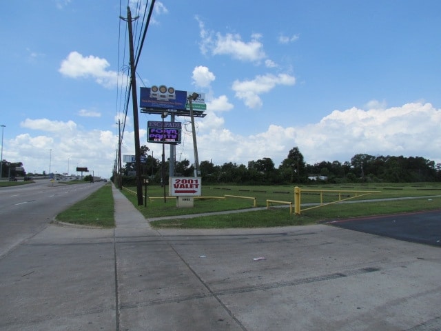
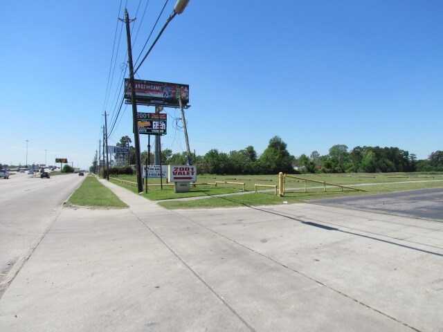
Property Record
4810 Winfield Rd, Houston, TX 77039

Save to a Folder
{{folder.Name}}
{{folder.ListingIds.length}} Properties
{{folder.ListingIds.length}} Property
Create a New Folder
Property Detail
4810 Winfield Rd
1220840010001
RES A BLK 1 BWFS INDUSTRIES
Outdoorrecreationbeachmountaindesert
HARRIS
B and X Area of moderate flood hazard, usually the area between the limits of the 100-year and 500-year floods.
Texas
2025
35.13 AC
2025
Northeast Near
232100
Houston
81,067 SF
Houston-Pasadena-The Woodlands, TX
NEARBY LISTINGS FOR SALE OR LEASE
DEMOGRAPHICS near 4810 Winfield Rd
1 mile
3 mile
5 mile
2025 Total Population
15,258
88,724
217,287
2030 Population
16,254
94,217
231,416
Pop Growth 2025-2030
+ 6.53%
+ 6.19%
+ 6.50%
Average Age
34
36
36
2025 Total Households
4,388
26,242
65,343
HH Growth 2025-2030
+ 6.77%
+ 6.41%
+ 6.72%
Median Household Inc
$43,245
$44,172
$47,494
Avg Household Size
3.40
3.30
3.20
2025 Avg HH Vehicles
2.00
2.00
2.00
Median Home Value
$152,017
$148,410
$163,730
Median Year Built
1971
1971
1973
Nearby Places
Map Layers
Map Styles
 Street
 Aerial
Layers
 Traffic
 Biking
Places
Listings with unknown addresses are not visible on the map
- Restaurants
- Banks
- Shops
- Fitness
- Groceries
PUBLIC TRANSPORTATION
AIRPORT
George Bush Intcntl/Houston
Drive
Walk
Distance
George Bush Intcntl/Houston
14 min
8.5 mi
William P Hobby
Drive
Walk
Distance
William P Hobby
36 min
22.3 mi
Freight Ports
Port of Houston
Drive
Walk
Distance
Port of Houston
25 min
16.0 mi
SALE & LEASE HISTORY
LISTING DATE
SALE/LEASE

Sep 24, 2016
For Sale
Nearby Properties
Address
Land Use
TOTAL SIZE
Lot Size
Zoning
Address
Land Use
TOTAL SIZE
Lot Size
Zoning
523,480 SF
29.22 AC
Address
Land Use
TOTAL SIZE
Lot Size
Zoning
431,400 SF
30.88 AC
Address
Land Use
TOTAL SIZE
Lot Size
Zoning
338,700 SF
22.99 AC
Address
Land Use
TOTAL SIZE
Lot Size
Zoning
264,300 SF
15.89 AC
Address
Land Use
TOTAL SIZE
Lot Size
Zoning
170,407 SF
26.31 AC
Address
Land Use
TOTAL SIZE
Lot Size
Zoning
90,033 SF
46.96 AC
Address
Land Use
TOTAL SIZE
Lot Size
Zoning
181,720 SF
15.28 AC
Address
Land Use
TOTAL SIZE
Lot Size
Zoning
113,604 SF
10.70 AC
Address
Land Use
TOTAL SIZE
Lot Size
Zoning
182,000 SF
8.88 AC
Address
Land Use
TOTAL SIZE
Lot Size
Zoning
150,750 SF
18.33 AC
Address
Land Use
TOTAL SIZE
Lot Size
Zoning
196,314 SF
12.66 AC
Address
Land Use
TOTAL SIZE
Lot Size
Zoning
110,250 SF
8.84 AC
Address
Land Use
TOTAL SIZE
Lot Size
Zoning
118,739 SF
12.49 AC
Address
Land Use
TOTAL SIZE
Lot Size
Zoning
123,440 SF
13.58 AC
Address
Land Use
TOTAL SIZE
Lot Size
Zoning
192,012 SF
10.10 AC
Address
Land Use
TOTAL SIZE
Lot Size
Zoning
150,000 SF
10.37 AC
Address
Land Use
TOTAL SIZE
Lot Size
Zoning
180,094 SF
8.53 AC
Address
Land Use
TOTAL SIZE
Lot Size
Zoning
129,410 SF
6.95 AC
Address
Land Use
TOTAL SIZE
Lot Size
Zoning
173,370 SF
13.52 AC
Address
Land Use
TOTAL SIZE
Lot Size
Zoning
139,252 SF
4.55 AC
Address
Land Use
TOTAL SIZE
Lot Size
Zoning
132,902 SF
6.12 AC
Address
Land Use
TOTAL SIZE
Lot Size
Zoning
91,623 SF
9.09 AC
Address
Land Use
TOTAL SIZE
Lot Size
Zoning
200,186 SF
13.20 AC
Address
Land Use
TOTAL SIZE
Lot Size
Zoning
261,236 SF
11.57 AC
Address
Land Use
TOTAL SIZE
Lot Size
Zoning
115,800 SF
32.76 AC
Address
Land Use
TOTAL SIZE
Lot Size
Zoning
74,470 SF
14.64 AC
Address
Land Use
TOTAL SIZE
Lot Size
Zoning
110,872 SF
10.85 AC
Address
Land Use
TOTAL SIZE
Lot Size
Zoning
97,536 SF
8.40 AC
Address
Land Use
TOTAL SIZE
Lot Size
Zoning
158,000 SF
17.83 AC
The World's #1 Commercial Real Estate Marketplace
Connect with us
© 2026 CoStar Group
The information above has been obtained from sources believed reliable. While we do not doubt its accuracy we have not verified it and make no guarantee, warranty or representation about it. It is your responsibility to independently confirm its accuracy and completeness. Any projections, opinions, assumptions, or estimates used are for example only and do not represent the current or future performance of the property. The value of this transaction to you depends on tax and other factors which should be evaluated by your tax, financial, and legal advisors. You and your advisors should conduct a careful, independent investigation of the property to determine to your satisfaction the suitability of the property for your needs.