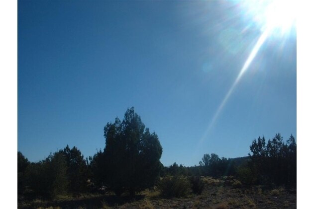
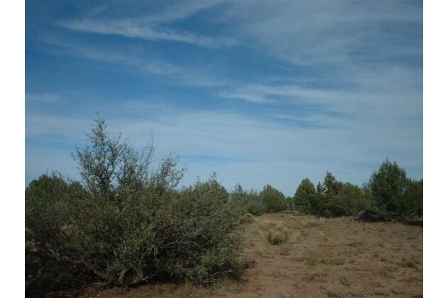
Property Record
48350 N Double A Ranch Rd, Ash Fork, AZ 86320

Property Detail
48350 N Double A Ranch Rd
Prescott, AZ
AM IRREG SHAPED PCL BEING A PTN OF THE S2 THE NW COR BEING THE WE ST SECTION CORNER SEC 3-21-2W CONT 139.98AC
302-07-338Q
YAVAPAI
Commercialacreage
Arizona
AH Areas with a 1% annual chance of shallow flooding, usually in the form of a pond, withan average depth ranging from 1 to 3 feet. These areas have a 26% chance of flooding over the life of a 30-year mortgage.
139.98 AC
2025
Prescott & Sedona
2027
Other Market Areas
002100
NEARBY LISTINGS FOR SALE OR LEASE
-
-
View all Ash Fork listings for sale on LoopNet.com
DEMOGRAPHICS near 48350 N Double A Ranch Rd
1 mile
3 mile
5 mile
2025 Total Population
172
349
435
2030 Population
171
333
419
Pop Growth 2025-2030
(0.58%)
(4.58%)
(3.68%)
Average Age
52
49
50
2025 Total Households
78
148
187
HH Growth 2025-2030
0.00%
(4.73%)
(3.74%)
Median Household Inc
$44,999
$41,666
$43,076
Avg Household Size
2.10
2.10
2.10
2025 Avg HH Vehicles
3.00
3.00
3.00
Median Home Value
$192,423
$163,792
$170,945
Median Year Built
1995
1997
1997
Nearby Places
Map Layers
Map Styles
 Street
 Aerial
Layers
 Traffic
 Biking
Places
Listings with unknown addresses are not visible on the map
- Restaurants
- Banks
- Shops
- Fitness
- Groceries
Nearby Properties
Address
Land Use
TOTAL SIZE
Lot Size
Zoning
Address
Land Use
TOTAL SIZE
Lot Size
Zoning
80,028 SF
14.93 AC
Address
Land Use
TOTAL SIZE
Lot Size
Zoning
15,754 SF
53.76 AC
Address
Land Use
TOTAL SIZE
Lot Size
Zoning
12,364 SF
12.49 AC
Address
Land Use
TOTAL SIZE
Lot Size
Zoning
16,215 SF
10.13 AC
Address
Land Use
TOTAL SIZE
Lot Size
Zoning
11,509 SF
4.45 AC
Address
Land Use
TOTAL SIZE
Lot Size
Zoning
17,414 SF
3.18 AC
Address
Land Use
TOTAL SIZE
Lot Size
Zoning
6,272 SF
1.58 AC
Address
Land Use
TOTAL SIZE
Lot Size
Zoning
6,956 SF
87.08 AC
Address
Land Use
TOTAL SIZE
Lot Size
Zoning
8,000 SF
1.35 AC
Address
Land Use
TOTAL SIZE
Lot Size
Zoning
3,178 SF
1.13 AC
Address
Land Use
TOTAL SIZE
Lot Size
Zoning
6,298 SF
0.25 AC
Address
Land Use
TOTAL SIZE
Lot Size
Zoning
2,647 SF
0.39 AC
Address
Land Use
TOTAL SIZE
Lot Size
Zoning
10,250 SF
2.10 AC
Address
Land Use
TOTAL SIZE
Lot Size
Zoning
4,000 SF
0.30 AC
Address
Land Use
TOTAL SIZE
Lot Size
Zoning
8,777 SF
11.09 AC
Address
Land Use
TOTAL SIZE
Lot Size
Zoning
1,521 SF
15.39 AC
Address
Land Use
TOTAL SIZE
Lot Size
Zoning
5,233 SF
5 AC
Address
Land Use
TOTAL SIZE
Lot Size
Zoning
3,971 SF
16.18 AC
Address
Land Use
TOTAL SIZE
Lot Size
Zoning
5,177 SF
0.61 AC
Address
Land Use
TOTAL SIZE
Lot Size
Zoning
7,071 SF
1.21 AC
Address
Land Use
TOTAL SIZE
Lot Size
Zoning
3,692 SF
2.16 AC
Address
Land Use
TOTAL SIZE
Lot Size
Zoning
2,840 SF
0.63 AC
Address
Land Use
TOTAL SIZE
Lot Size
Zoning
4,000 SF
0.11 AC
Address
Land Use
TOTAL SIZE
Lot Size
Zoning
26.84 AC
Address
Land Use
TOTAL SIZE
Lot Size
Zoning
3,126 SF
0.77 AC
Address
Land Use
TOTAL SIZE
Lot Size
Zoning
4,261 SF
46.59 AC
Address
Land Use
TOTAL SIZE
Lot Size
Zoning
1,404 SF
0.66 AC
Address
Land Use
TOTAL SIZE
Lot Size
Zoning
26 SF
13.52 AC
Address
Land Use
TOTAL SIZE
Lot Size
Zoning
2,708 SF
0.24 AC
Address
Land Use
TOTAL SIZE
Lot Size
Zoning
3,274 SF
0.16 AC
The World's #1 Commercial Real Estate Marketplace
Connect with us
© 2026 CoStar Group
The information above has been obtained from sources believed reliable. While we do not doubt its accuracy we have not verified it and make no guarantee, warranty or representation about it. It is your responsibility to independently confirm its accuracy and completeness. Any projections, opinions, assumptions, or estimates used are for example only and do not represent the current or future performance of the property. The value of this transaction to you depends on tax and other factors which should be evaluated by your tax, financial, and legal advisors. You and your advisors should conduct a careful, independent investigation of the property to determine to your satisfaction the suitability of the property for your needs.