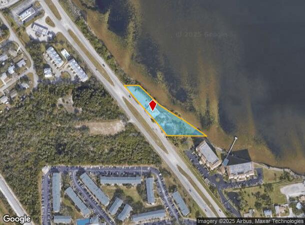
Property Record
4845 Dixie Hwy Ne, Palm Bay, FL 32905


NEARBY LISTINGS FOR SALE OR LEASE
Property Detail
4845 Dixie Hwy Ne
28-38-30-00-00503.1-0000.00
PART OF GOVT LOT 1 AS DESC IN DB 379 PG 83, DB 305 PG 258 LYING E OF US HWY 1
Restaurantbuilding
Brevard
AE
Florida
12009C0614H
1
2024
0.74 AC
2025
Brevard County
065201
Orlando
6,070 SF
Palm Bay-Melbourne-Titusville, FL
DEMOGRAPHICS near 4845 Dixie Hwy Ne
1 Mile
3 Mile
5 Mile
2024 Total Population
4,585
27,046
80,929
2029 Population
4,976
29,757
89,248
Pop Growth 2024-2029
+ 8.53%
+ 10.02%
+ 10.28%
Average Age
44
47
45
2024 Total Households
1,995
11,969
35,652
HH Growth 2024-2029
+ 8.37%
+ 9.93%
+ 10.15%
Median Household Inc
$54,388
$55,465
$49,541
Avg Household Size
2.20
2.20
2.20
2024 Avg HH Vehicles
2.00
2.00
2.00
Median Home Value
$165,630
$242,468
$241,261
Median Year Built
1973
1983
1985
Nearby Places
Map Layers
Map Styles
 Street
 Aerial
- Restaurants
- Banks
- Shops
- Fitness
- Groceries
PUBLIC TRANSPORTATION
AIRPORT
Melbourne Orlando International
DRIVE
WALK
Distance
Melbourne Orlando International
18 min
8.5 mi
Freight Ports
Port Canaveral
DRIVE
WALK
Distance
Port Canaveral
57 min
32.1 mi
Nearby Properties
Address
Land Use
TOTAL SIZE
Lot Size
Zoning
Address
Land Use
TOTAL SIZE
Lot Size
Zoning
1,695,838 SF
106.06 AC
Address
Land Use
TOTAL SIZE
Lot Size
Zoning
408,025 SF
15.72 AC
Address
Land Use
TOTAL SIZE
Lot Size
Zoning
282,680 SF
16 AC
IU
Address
Land Use
TOTAL SIZE
Lot Size
Zoning
326,454 SF
14.20 AC
RM20
Address
Land Use
TOTAL SIZE
Lot Size
Zoning
393,147 SF
38.03 AC
RM20
Address
Land Use
TOTAL SIZE
Lot Size
Zoning
39.75 AC
GML
Address
Land Use
TOTAL SIZE
Lot Size
Zoning
560,257 SF
118.47 AC
LI
Address
Land Use
TOTAL SIZE
Lot Size
Zoning
2,366 SF
32.43 AC
SR
Address
Land Use
TOTAL SIZE
Lot Size
Zoning
4,000 SF
12.20 AC
IU
Address
Land Use
TOTAL SIZE
Lot Size
Zoning
1,380 SF
21.87 AC
IU
Address
Land Use
TOTAL SIZE
Lot Size
Zoning
762 SF
49.89 AC
GML
Address
Land Use
TOTAL SIZE
Lot Size
Zoning
408,025 SF
24.10 AC
LI
Address
Land Use
TOTAL SIZE
Lot Size
Zoning
242,454 SF
14.13 AC
LI
Address
Land Use
TOTAL SIZE
Lot Size
Zoning
352,735 SF
130.85 AC
Address
Land Use
TOTAL SIZE
Lot Size
Zoning
135,917 SF
2.92 AC
HC
Address
Land Use
TOTAL SIZE
Lot Size
Zoning
23,945 SF
142.13 AC
GML
Address
Land Use
TOTAL SIZE
Lot Size
Zoning
166,648 SF
13.01 AC
RM20
Address
Land Use
TOTAL SIZE
Lot Size
Zoning
35.96 AC
GML
Address
Land Use
TOTAL SIZE
Lot Size
Zoning
222,925 SF
12.75 AC
PUD
Address
Land Use
TOTAL SIZE
Lot Size
Zoning
76,534 SF
4.33 AC
HC
Address
Land Use
TOTAL SIZE
Lot Size
Zoning
202,908 SF
34.94 AC
LI
Address
Land Use
TOTAL SIZE
Lot Size
Zoning
48,492 SF
17.45 AC
OI
Address
Land Use
TOTAL SIZE
Lot Size
Zoning
168,346 SF
12.52 AC
LI
Address
Land Use
TOTAL SIZE
Lot Size
Zoning
109,650 SF
10.32 AC
CG
Address
Land Use
TOTAL SIZE
Lot Size
Zoning
77,817 SF
17.84 AC
2RS
Address
Land Use
TOTAL SIZE
Lot Size
Zoning
97,728 SF
12.77 AC
IU
Address
Land Use
TOTAL SIZE
Lot Size
Zoning
119,582 SF
10.40 AC
Address
Land Use
TOTAL SIZE
Lot Size
Zoning
226,478 SF
14.97 AC
LI
Address
Land Use
TOTAL SIZE
Lot Size
Zoning
78,357 SF
8.47 AC
BU1
Address
Land Use
TOTAL SIZE
Lot Size
Zoning
31.07 AC
GML
The World's #1 Commercial Real Estate Marketplace
Connect with us
© 2025 CoStar Group
The information above has been obtained from sources believed reliable. While we do not doubt its accuracy we have not verified it and make no guarantee, warranty or representation about it. It is your responsibility to independently confirm its accuracy and completeness. Any projections, opinions, assumptions, or estimates used are for example only and do not represent the current or future performance of the property. The value of this transaction to you depends on tax and other factors which should be evaluated by your tax, financial, and legal advisors. You and your advisors should conduct a careful, independent investigation of the property to determine to your satisfaction the suitability of the property for your needs.