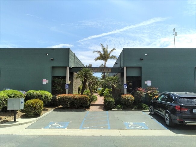
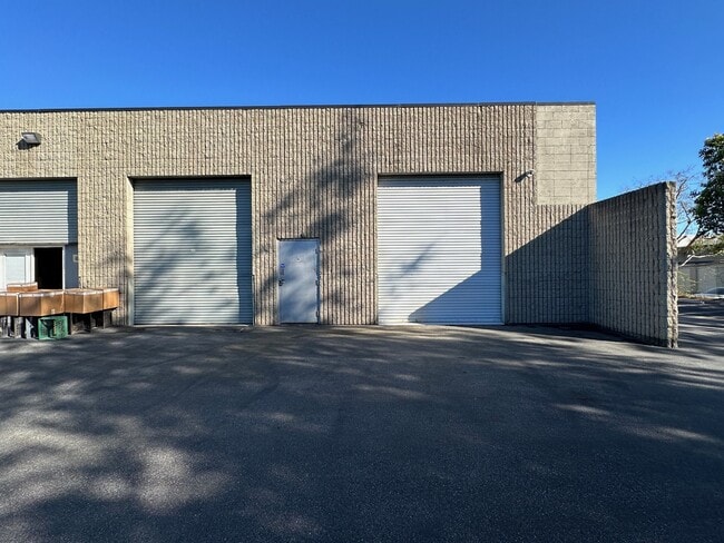
Property Record
4848 Colt St, Ventura, CA 93003

NEARBY LISTINGS FOR SALE OR LEASE
Property Detail
4848 Colt St
084-0-144-235
LOT: B REF: 36 PM 10 CONDO PLAN: -8
Industrialcondominium
Ventura
X
California
06111C0901F
b
2024
1.16 AC
2025
Ventura
002800
Los Angeles
1,511 SF
Oxnard-Thousand Oaks-Ventura, CA
DEMOGRAPHICS near 4848 Colt St
1 Mile
3 Mile
5 Mile
2024 Total Population
3,065
84,256
223,323
2029 Population
3,000
83,704
220,944
Pop Growth 2024-2029
(2.12%)
(0.66%)
(1.07%)
Average Age
41
41
40
2024 Total Households
997
30,964
75,233
HH Growth 2024-2029
(2.31%)
(0.67%)
(0.95%)
Median Household Inc
$66,573
$95,279
$91,816
Avg Household Size
2.60
2.60
2.90
2024 Avg HH Vehicles
2.00
2.00
2.00
Median Home Value
$342,168
$710,656
$706,447
Median Year Built
1976
1974
1975
Nearby Places
Map Layers
Map Styles
 Street
 Aerial
- Restaurants
- Banks
- Shops
- Fitness
- Groceries
PUBLIC TRANSPORTATION
COMMUTER RAIL
DRIVE
WALK
Distance
7 min
2.1 mi
Oxnard (Ventura County Line - Southern California Regional Rail Authority (Metrolink))
DRIVE
WALK
Distance
Oxnard (Ventura County Line - Southern California Regional Rail Authority (Metrolink))
13 min
6.5 mi
SALE & LEASE HISTORY
LISTING DATE
SALE/LEASE

Sep 14, 2023
For Sale
Nov 17, 2023
For Sale
May 26, 2021
For Lease
May 25, 2023
For Lease
Jun 21, 2023
For Sale
Jan 28, 2022
For Sale
Dec 16, 2022
For Sale
Aug 16, 2022
For Lease
Aug 12, 2024
For Sale
Aug 10, 2023
For Sale
Nearby Properties
Address
Land Use
TOTAL SIZE
Lot Size
Zoning
Address
Land Use
TOTAL SIZE
Lot Size
Zoning
1.99 AC
Address
Land Use
TOTAL SIZE
Lot Size
Zoning
4.19 AC
H
Address
Land Use
TOTAL SIZE
Lot Size
Zoning
8.03 AC
CPD
Address
Land Use
TOTAL SIZE
Lot Size
Zoning
480,733 SF
14.26 AC
Address
Land Use
TOTAL SIZE
Lot Size
Zoning
43,284 SF
14.34 AC
RPD28
Address
Land Use
TOTAL SIZE
Lot Size
Zoning
195,798 SF
15.40 AC
RPD15
Address
Land Use
TOTAL SIZE
Lot Size
Zoning
6.14 AC
Address
Land Use
TOTAL SIZE
Lot Size
Zoning
233,168 SF
13.94 AC
RPD-
Address
Land Use
TOTAL SIZE
Lot Size
Zoning
176,598 SF
9.22 AC
Address
Land Use
TOTAL SIZE
Lot Size
Zoning
3.96 AC
Address
Land Use
TOTAL SIZE
Lot Size
Zoning
2.63 AC
Address
Land Use
TOTAL SIZE
Lot Size
Zoning
3.12 AC
Address
Land Use
TOTAL SIZE
Lot Size
Zoning
49,296 SF
11.08 AC
Address
Land Use
TOTAL SIZE
Lot Size
Zoning
110,434 SF
3.81 AC
Address
Land Use
TOTAL SIZE
Lot Size
Zoning
3.01 AC
Address
Land Use
TOTAL SIZE
Lot Size
Zoning
40,110 SF
8.04 AC
MPD
Address
Land Use
TOTAL SIZE
Lot Size
Zoning
138,475 SF
2.77 AC
Address
Land Use
TOTAL SIZE
Lot Size
Zoning
138,475 SF
2.77 AC
Address
Land Use
TOTAL SIZE
Lot Size
Zoning
89,643 SF
14.27 AC
Address
Land Use
TOTAL SIZE
Lot Size
Zoning
13,530 SF
10.85 AC
Address
Land Use
TOTAL SIZE
Lot Size
Zoning
25,401 SF
2.74 AC
C1AD
Address
Land Use
TOTAL SIZE
Lot Size
Zoning
81,671 SF
3.54 AC
Address
Land Use
TOTAL SIZE
Lot Size
Zoning
111,421 SF
3.80 AC
Address
Land Use
TOTAL SIZE
Lot Size
Zoning
107,360 SF
5.96 AC
RPD15
Address
Land Use
TOTAL SIZE
Lot Size
Zoning
36,186 SF
12.16 AC
Address
Land Use
TOTAL SIZE
Lot Size
Zoning
14,098 SF
6.46 AC
Address
Land Use
TOTAL SIZE
Lot Size
Zoning
73,272 SF
6.05 AC
C1AD
Address
Land Use
TOTAL SIZE
Lot Size
Zoning
13,188 SF
12.04 AC
Address
Land Use
TOTAL SIZE
Lot Size
Zoning
1.21 AC
The World's #1 Commercial Real Estate Marketplace
Connect with us
© 2026 CoStar Group
The information above has been obtained from sources believed reliable. While we do not doubt its accuracy we have not verified it and make no guarantee, warranty or representation about it. It is your responsibility to independently confirm its accuracy and completeness. Any projections, opinions, assumptions, or estimates used are for example only and do not represent the current or future performance of the property. The value of this transaction to you depends on tax and other factors which should be evaluated by your tax, financial, and legal advisors. You and your advisors should conduct a careful, independent investigation of the property to determine to your satisfaction the suitability of the property for your needs.