Property Record
4850 E Main St, Columbus, OH 43213


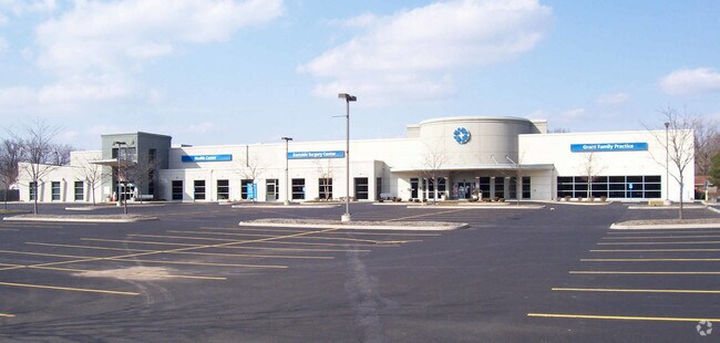

Property Detail
4850 E Main St
090-001585
4850 MAIN ST E R21 T12 S9 1/2S16 4.775 ACRES
Charitableorganization
FRANKLIN
B and X Area of moderate flood hazard, usually the area between the limits of the 100-year and 500-year floods.
Ohio
0
4.78 AC
2025
East
009340
Columbus
51,074 SF
Columbus, OH
NEARBY LISTINGS FOR SALE OR LEASE
DEMOGRAPHICS near 4850 E Main St
1 mile
3 mile
5 mile
2025 Total Population
15,807
110,805
262,557
2030 Population
16,157
113,915
271,397
Pop Growth 2025-2030
+ 2.21%
+ 2.81%
+ 3.37%
Average Age
38
38
38
2025 Total Households
6,261
46,453
106,942
HH Growth 2025-2030
+ 2.38%
+ 2.97%
+ 3.56%
Median Household Inc
$53,485
$50,839
$58,562
Avg Household Size
2.40
2.30
2.40
2025 Avg HH Vehicles
2.00
1.00
2.00
Median Home Value
$160,457
$190,780
$244,547
Median Year Built
1966
1968
1973
Nearby Places
Map Layers
Map Styles
 Street
 Aerial
Transit
 Traffic
 Biking
Places
Listings with unknown addresses are not visible on the map
- Restaurants
- Banks
- Shops
- Fitness
- Groceries
PUBLIC TRANSPORTATION
AIRPORT
John Glenn Columbus International
Drive
Walk
Distance
John Glenn Columbus International
14 min
6.7 mi
Rickenbacker International
Drive
Walk
Distance
Rickenbacker International
20 min
13.0 mi
Freight Ports
Port of Toledo
Drive
Walk
Distance
Port of Toledo
192 min
152.5 mi
SALE & LEASE HISTORY
LISTING DATE
SALE/LEASE

Oct 08, 2018
For Lease
Nearby Properties
Address
Land Use
TOTAL SIZE
Lot Size
Zoning
Address
Land Use
TOTAL SIZE
Lot Size
Zoning
316,415 SF
415.78 AC
Address
Land Use
TOTAL SIZE
Lot Size
Zoning
Address
Land Use
TOTAL SIZE
Lot Size
Zoning
761,542 SF
21.30 AC
Address
Land Use
TOTAL SIZE
Lot Size
Zoning
180,383 SF
15.54 AC
Address
Land Use
TOTAL SIZE
Lot Size
Zoning
208,472 SF
1.45 AC
Address
Land Use
TOTAL SIZE
Lot Size
Zoning
164,095 SF
33.71 AC
Address
Land Use
TOTAL SIZE
Lot Size
Zoning
147,649 SF
5.15 AC
Address
Land Use
TOTAL SIZE
Lot Size
Zoning
122,526 SF
27 AC
Address
Land Use
TOTAL SIZE
Lot Size
Zoning
514,341 SF
46.79 AC
Address
Land Use
TOTAL SIZE
Lot Size
Zoning
183,352 SF
55.41 AC
Address
Land Use
TOTAL SIZE
Lot Size
Zoning
282,035 SF
29.29 AC
Address
Land Use
TOTAL SIZE
Lot Size
Zoning
281,803 SF
20 AC
Address
Land Use
TOTAL SIZE
Lot Size
Zoning
66,177 SF
11.17 AC
Address
Land Use
TOTAL SIZE
Lot Size
Zoning
464,796 SF
7.33 AC
Address
Land Use
TOTAL SIZE
Lot Size
Zoning
166,628 SF
9.98 AC
Address
Land Use
TOTAL SIZE
Lot Size
Zoning
706,471 SF
41.34 AC
Address
Land Use
TOTAL SIZE
Lot Size
Zoning
217,088 SF
10.67 AC
Address
Land Use
TOTAL SIZE
Lot Size
Zoning
1,264,151 SF
58.42 AC
Address
Land Use
TOTAL SIZE
Lot Size
Zoning
2,117,753 SF
117.95 AC
Address
Land Use
TOTAL SIZE
Lot Size
Zoning
170,209 SF
15.03 AC
Address
Land Use
TOTAL SIZE
Lot Size
Zoning
142,542 SF
6.55 AC
Address
Land Use
TOTAL SIZE
Lot Size
Zoning
188,305 SF
27.46 AC
Address
Land Use
TOTAL SIZE
Lot Size
Zoning
142,542 SF
3.95 AC
Address
Land Use
TOTAL SIZE
Lot Size
Zoning
158,325 SF
34.39 AC
Address
Land Use
TOTAL SIZE
Lot Size
Zoning
102,412 SF
11.86 AC
Address
Land Use
TOTAL SIZE
Lot Size
Zoning
267,596 SF
5.76 AC
Address
Land Use
TOTAL SIZE
Lot Size
Zoning
264,250 SF
10.31 AC
Address
Land Use
TOTAL SIZE
Lot Size
Zoning
159,719 SF
36.24 AC
Address
Land Use
TOTAL SIZE
Lot Size
Zoning
175,313 SF
27.10 AC
Address
Land Use
TOTAL SIZE
Lot Size
Zoning
58,272 SF
7.86 AC
The World's #1 Commercial Real Estate Marketplace
Connect with us
© 2026 CoStar Group
The information above has been obtained from sources believed reliable. While we do not doubt its accuracy we have not verified it and make no guarantee, warranty or representation about it. It is your responsibility to independently confirm its accuracy and completeness. Any projections, opinions, assumptions, or estimates used are for example only and do not represent the current or future performance of the property. The value of this transaction to you depends on tax and other factors which should be evaluated by your tax, financial, and legal advisors. You and your advisors should conduct a careful, independent investigation of the property to determine to your satisfaction the suitability of the property for your needs.