Property Record
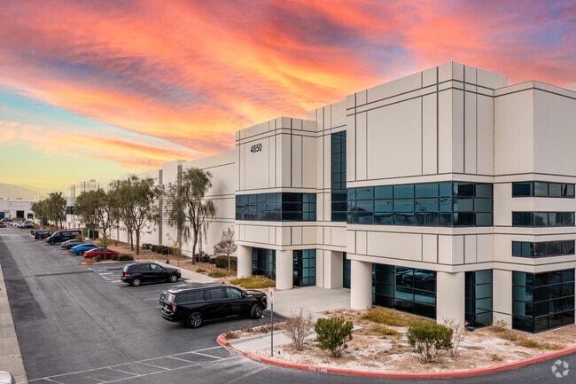
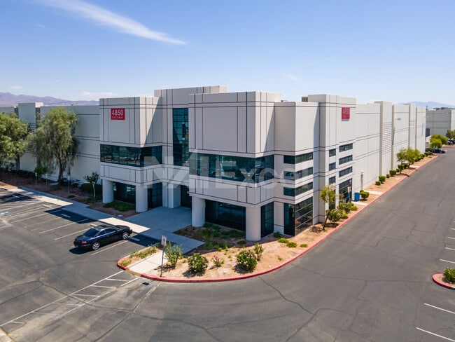
4850 Statz St, North Las Vegas, NV 89081
NEARBY LISTINGS FOR SALE OR LEASE
Property Detail
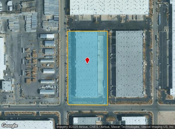
4850 Statz St
Las Vegas-Henderson-Paradise, NV
Golden Triangle Indst Park Amd
124-36-811-005
GOLDEN TRIANGLE INDST PARK AMD PLAT BOOK 80 PAGE 66 PT LOT 3
Shipyard
Clark
X
Nevada
32003C2176F
3
2025
8.19 AC
2025
North Las Vegas
003626
Las Vegas
174,174 SF
DEMOGRAPHICS near 4850 Statz St
1 Mile
3 Mile
5 Mile
2024 Total Population
6,331
150,283
340,153
2029 Population
6,791
161,913
365,350
Pop Growth 2024-2029
+ 7.27%
+ 7.74%
+ 7.41%
Average Age
35
34
35
2024 Total Households
2,137
46,493
104,575
HH Growth 2024-2029
+ 7.16%
+ 7.71%
+ 7.43%
Median Household Inc
$63,005
$57,512
$54,657
Avg Household Size
3.00
3.10
3.10
2024 Avg HH Vehicles
2.00
2.00
2.00
Median Home Value
$330,050
$304,556
$293,824
Median Year Built
2005
2001
1997
Nearby Places
Map Layers
Map Styles
 Street
 Aerial
- Restaurants
- Banks
- Shops
- Fitness
- Groceries
PUBLIC TRANSPORTATION
AIRPORT
Harry Reid International
DRIVE
WALK
Distance
Harry Reid International
25 min
14.9 mi
Boulder City Municipal
DRIVE
WALK
Distance
Boulder City Municipal
45 min
31.1 mi
SALE & LEASE HISTORY
LISTING DATE
SALE/LEASE

Sep 04, 2019
For Lease
Oct 05, 2020
For Lease
Jun 19, 2023
For Lease
Aug 14, 2018
For Lease
Nearby Properties
Address
Land Use
TOTAL SIZE
Lot Size
Zoning
Address
Land Use
TOTAL SIZE
Lot Size
Zoning
33,783 SF
168.44 AC
Address
Land Use
TOTAL SIZE
Lot Size
Zoning
1,767,948 SF
142.04 AC
Address
Land Use
TOTAL SIZE
Lot Size
Zoning
252,005 SF
27.94 AC
C3
Address
Land Use
TOTAL SIZE
Lot Size
Zoning
1,102,891 SF
84.43 AC
Address
Land Use
TOTAL SIZE
Lot Size
Zoning
813,120 SF
38.20 AC
Address
Land Use
TOTAL SIZE
Lot Size
Zoning
51.45 AC
R1
Address
Land Use
TOTAL SIZE
Lot Size
Zoning
747,196 SF
40.03 AC
Address
Land Use
TOTAL SIZE
Lot Size
Zoning
681,792 SF
29.65 AC
Address
Land Use
TOTAL SIZE
Lot Size
Zoning
677,768 SF
31.52 AC
Address
Land Use
TOTAL SIZE
Lot Size
Zoning
696,064 SF
29.08 AC
Address
Land Use
TOTAL SIZE
Lot Size
Zoning
15,566 SF
48.39 AC
R4
Address
Land Use
TOTAL SIZE
Lot Size
Zoning
602,609 SF
27.33 AC
M2
Address
Land Use
TOTAL SIZE
Lot Size
Zoning
570,810 SF
29.73 AC
Address
Land Use
TOTAL SIZE
Lot Size
Zoning
41.21 AC
PSP
Address
Land Use
TOTAL SIZE
Lot Size
Zoning
617,670 SF
27.90 AC
M2
Address
Land Use
TOTAL SIZE
Lot Size
Zoning
720,000 SF
25.07 AC
Address
Land Use
TOTAL SIZE
Lot Size
Zoning
33.32 AC
R1
Address
Land Use
TOTAL SIZE
Lot Size
Zoning
7,724 SF
108.84 AC
R1
Address
Land Use
TOTAL SIZE
Lot Size
Zoning
3,735 SF
17.69 AC
R3
Address
Land Use
TOTAL SIZE
Lot Size
Zoning
478,096 SF
17.87 AC
R3
Address
Land Use
TOTAL SIZE
Lot Size
Zoning
35.49 AC
RE
Address
Land Use
TOTAL SIZE
Lot Size
Zoning
438,601 SF
16.84 AC
R4
Address
Land Use
TOTAL SIZE
Lot Size
Zoning
546,249 SF
28.58 AC
Address
Land Use
TOTAL SIZE
Lot Size
Zoning
152,520 SF
42.31 AC
M2
Address
Land Use
TOTAL SIZE
Lot Size
Zoning
18.08 AC
PSP
Address
Land Use
TOTAL SIZE
Lot Size
Zoning
504,501 SF
23.08 AC
M2
Address
Land Use
TOTAL SIZE
Lot Size
Zoning
17.69 AC
RE
Address
Land Use
TOTAL SIZE
Lot Size
Zoning
513,240 SF
24.86 AC
M2
Address
Land Use
TOTAL SIZE
Lot Size
Zoning
4,976 SF
14.44 AC
R3
The World's #1 Commercial Real Estate Marketplace
Connect with us
© 2025 CoStar Group
The information above has been obtained from sources believed reliable. While we do not doubt its accuracy we have not verified it and make no guarantee, warranty or representation about it. It is your responsibility to independently confirm its accuracy and completeness. Any projections, opinions, assumptions, or estimates used are for example only and do not represent the current or future performance of the property. The value of this transaction to you depends on tax and other factors which should be evaluated by your tax, financial, and legal advisors. You and your advisors should conduct a careful, independent investigation of the property to determine to your satisfaction the suitability of the property for your needs.