Property Record
4870 Integra Springs Blvd, Kannapolis, NC 28081


NEARBY LISTINGS FOR SALE OR LEASE
Property Detail
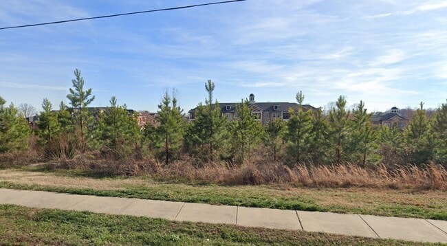
4870 Integra Springs Blvd
Charlotte
Kannapolis Parkway
Charlotte-Concord-Gastonia, NC-SC
OUT PCL 2 RECOMB MPV KELLSWATER
5603-40-1204-0000
Cabarrus
Commercialnec
North Carolina
0
2.28 AC
2025
Cabarrus County
041202
DEMOGRAPHICS near 4870 Integra Springs Blvd
1 Mile
3 Mile
5 Mile
2024 Total Population
3,020
32,148
96,343
2029 Population
3,478
36,665
108,250
Pop Growth 2024-2029
+ 15.17%
+ 14.05%
+ 12.36%
Average Age
39
39
39
2024 Total Households
1,155
12,540
37,330
HH Growth 2024-2029
+ 13.77%
+ 12.71%
+ 11.19%
Median Household Inc
$114,344
$64,489
$65,729
Avg Household Size
2.50
2.50
2.50
2024 Avg HH Vehicles
2.00
2.00
2.00
Median Home Value
$376,482
$223,397
$235,719
Median Year Built
2010
1987
1991
Nearby Places
Map Layers
Map Styles
 Street
 Aerial
- Restaurants
- Banks
- Shops
- Fitness
- Groceries
PUBLIC TRANSPORTATION
COMMUTER RAIL
Kannapolis Station (Piedmont - North Carolina by Train (NC Train))
DRIVE
WALK
Distance
Kannapolis Station (Piedmont - North Carolina by Train (NC Train))
8 min
3.8 mi
AIRPORT
Concord-Padgett Regional
DRIVE
WALK
Distance
Concord-Padgett Regional
18 min
10.1 mi
Charlotte/Douglas International
DRIVE
WALK
Distance
Charlotte/Douglas International
45 min
30.4 mi
Nearby Properties
Address
Land Use
TOTAL SIZE
Lot Size
Zoning
Address
Land Use
TOTAL SIZE
Lot Size
Zoning
1,018,930 SF
90.45 AC
CD
Address
Land Use
TOTAL SIZE
Lot Size
Zoning
40,519 SF
20.12 AC
PD-TND
Address
Land Use
TOTAL SIZE
Lot Size
Zoning
22,360 SF
36.30 AC
RC
Address
Land Use
TOTAL SIZE
Lot Size
Zoning
39,678 SF
25.80 AC
GC
Address
Land Use
TOTAL SIZE
Lot Size
Zoning
276,070 SF
CC
Address
Land Use
TOTAL SIZE
Lot Size
Zoning
14,691 SF
18.37 AC
R18
Address
Land Use
TOTAL SIZE
Lot Size
Zoning
360,050 SF
56.57 AC
I-2
Address
Land Use
TOTAL SIZE
Lot Size
Zoning
114,382 SF
24.64 AC
R4
Address
Land Use
TOTAL SIZE
Lot Size
Zoning
660,052 SF
42.20 AC
CD
Address
Land Use
TOTAL SIZE
Lot Size
Zoning
933,988 SF
55.80 AC
CD
Address
Land Use
TOTAL SIZE
Lot Size
Zoning
155,449 SF
22.98 AC
CD
Address
Land Use
TOTAL SIZE
Lot Size
Zoning
176,676 SF
31.80 AC
R4
Address
Land Use
TOTAL SIZE
Lot Size
Zoning
331,452 SF
59.37 AC
I-1
Address
Land Use
TOTAL SIZE
Lot Size
Zoning
300,000 SF
25.29 AC
CD
Address
Land Use
TOTAL SIZE
Lot Size
Zoning
83,152 SF
7.11 AC
CC
Address
Land Use
TOTAL SIZE
Lot Size
Zoning
42,098 SF
23.14 AC
GC
Address
Land Use
TOTAL SIZE
Lot Size
Zoning
121,219 SF
20 AC
AG
Address
Land Use
TOTAL SIZE
Lot Size
Zoning
114,250 SF
18.50 AC
RM-2
Address
Land Use
TOTAL SIZE
Lot Size
Zoning
204,800 SF
22.15 AC
PD
Address
Land Use
TOTAL SIZE
Lot Size
Zoning
5,308 SF
15.16 AC
RC
Address
Land Use
TOTAL SIZE
Lot Size
Zoning
85,924 SF
83.81 AC
AG
Address
Land Use
TOTAL SIZE
Lot Size
Zoning
204,800 SF
22.15 AC
PD
Address
Land Use
TOTAL SIZE
Lot Size
Zoning
74,058 SF
11.75 AC
GC
Address
Land Use
TOTAL SIZE
Lot Size
Zoning
12,010 SF
0.40 AC
CC
Address
Land Use
TOTAL SIZE
Lot Size
Zoning
66,194 SF
2.94 AC
CC
Address
Land Use
TOTAL SIZE
Lot Size
Zoning
115,500 SF
15.25 AC
PD
Address
Land Use
TOTAL SIZE
Lot Size
Zoning
183,057 SF
12.79 AC
CD
Address
Land Use
TOTAL SIZE
Lot Size
Zoning
64,554 SF
2.67 AC
CC
Address
Land Use
TOTAL SIZE
Lot Size
Zoning
116.66 AC
PUD
Address
Land Use
TOTAL SIZE
Lot Size
Zoning
26,069 SF
12.33 AC
C-1
The World's #1 Commercial Real Estate Marketplace
Connect with us
© 2026 CoStar Group
The information above has been obtained from sources believed reliable. While we do not doubt its accuracy we have not verified it and make no guarantee, warranty or representation about it. It is your responsibility to independently confirm its accuracy and completeness. Any projections, opinions, assumptions, or estimates used are for example only and do not represent the current or future performance of the property. The value of this transaction to you depends on tax and other factors which should be evaluated by your tax, financial, and legal advisors. You and your advisors should conduct a careful, independent investigation of the property to determine to your satisfaction the suitability of the property for your needs.