Property Record
488 Rhodes Rd, Reno, NV 89521


Property Detail
488 Rhodes Rd
Reno, NV
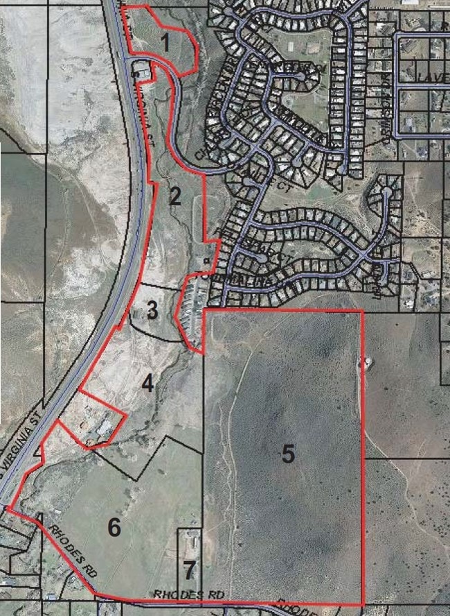
PM 1410 ADJ LT C RS 3403
017-301-24
WASHOE
Residentialacreage
Nevada
LDS 72% /
c
AE The base floodplain where base flood elevations are provided. AE Zones are now used on new format FIRMs instead of A1-A30 Zones.
35.97 AC
2025
S Outlying Washoe County
2026
Reno/Sparks
003205
NEARBY LISTINGS FOR SALE OR LEASE
DEMOGRAPHICS near 488 Rhodes Rd
1 mile
3 mile
5 mile
2025 Total Population
2,319
25,200
60,916
2030 Population
2,420
26,566
63,351
Pop Growth 2025-2030
+ 4.36%
+ 5.42%
+ 4.00%
Average Age
44
42
43
2025 Total Households
952
9,666
24,166
HH Growth 2025-2030
+ 4.41%
+ 5.43%
+ 4.02%
Median Household Inc
$67,657
$111,727
$123,897
Avg Household Size
2.40
2.60
2.50
2025 Avg HH Vehicles
2.00
2.00
2.00
Median Home Value
$602,678
$732,199
$769,050
Median Year Built
1979
2005
2005
Nearby Places
Map Layers
Map Styles
 Street
 Aerial
Layers
 Traffic
 Biking
Places
Listings with unknown addresses are not visible on the map
- Restaurants
- Banks
- Shops
- Fitness
- Groceries
PUBLIC TRANSPORTATION
AIRPORT
Reno/Tahoe International
Drive
Walk
Distance
Reno/Tahoe International
32 min
13.3 mi
Freight Ports
Port of Stockton
Drive
Walk
Distance
Port of Stockton
224 min
192.6 mi
SALE & LEASE HISTORY
LISTING DATE
SALE/LEASE

Sep 24, 2016
For Sale
Nearby Properties
Address
Land Use
TOTAL SIZE
Lot Size
Zoning
Address
Land Use
TOTAL SIZE
Lot Size
Zoning
418,177 SF
16.59 AC
MS
Address
Land Use
TOTAL SIZE
Lot Size
Zoning
430,526 SF
14.79 AC
MS
Address
Land Use
TOTAL SIZE
Lot Size
Zoning
410,834 SF
11.58 AC
MS
Address
Land Use
TOTAL SIZE
Lot Size
Zoning
181,150 SF
27.71 AC
PD
Address
Land Use
TOTAL SIZE
Lot Size
Zoning
379,347 SF
18.42 AC
MS
Address
Land Use
TOTAL SIZE
Lot Size
Zoning
257,652 SF
23.36 AC
MS
Address
Land Use
TOTAL SIZE
Lot Size
Zoning
283,103 SF
10.02 AC
PD
Address
Land Use
TOTAL SIZE
Lot Size
Zoning
296,169 SF
15.33 AC
MS
Address
Land Use
TOTAL SIZE
Lot Size
Zoning
392,820 SF
24.82 AC
MS
Address
Land Use
TOTAL SIZE
Lot Size
Zoning
389,667 SF
19.52 AC
MS
Address
Land Use
TOTAL SIZE
Lot Size
Zoning
240,094 SF
8.16 AC
MS
Address
Land Use
TOTAL SIZE
Lot Size
Zoning
601,250 SF
27.39 AC
MS
Address
Land Use
TOTAL SIZE
Lot Size
Zoning
110,100 SF
22.88 AC
MS
Address
Land Use
TOTAL SIZE
Lot Size
Zoning
167,612 SF
7.88 AC
PD
Address
Land Use
TOTAL SIZE
Lot Size
Zoning
225,634 SF
66.85 AC
PSP
Address
Land Use
TOTAL SIZE
Lot Size
Zoning
25.52 AC
MS
Address
Land Use
TOTAL SIZE
Lot Size
Zoning
47,743 SF
7.27 AC
MS
Address
Land Use
TOTAL SIZE
Lot Size
Zoning
53,394 SF
13.83 AC
MS
Address
Land Use
TOTAL SIZE
Lot Size
Zoning
60,947 SF
47.04 AC
MS
Address
Land Use
TOTAL SIZE
Lot Size
Zoning
79,736 SF
1.57 AC
MS
Address
Land Use
TOTAL SIZE
Lot Size
Zoning
55,197 SF
5.50 AC
MDS 79% /
Address
Land Use
TOTAL SIZE
Lot Size
Zoning
218,070 SF
9.66 AC
MS
Address
Land Use
TOTAL SIZE
Lot Size
Zoning
98,588 SF
5.60 AC
GC
Address
Land Use
TOTAL SIZE
Lot Size
Zoning
497.01 AC
OS
Address
Land Use
TOTAL SIZE
Lot Size
Zoning
87,985 SF
8.59 AC
MS
Address
Land Use
TOTAL SIZE
Lot Size
Zoning
168,887 SF
8.28 AC
MS
Address
Land Use
TOTAL SIZE
Lot Size
Zoning
24.49 AC
PSP
Address
Land Use
TOTAL SIZE
Lot Size
Zoning
61,554 SF
7.74 AC
GC
Address
Land Use
TOTAL SIZE
Lot Size
Zoning
43,342 SF
3.37 AC
MS
Address
Land Use
TOTAL SIZE
Lot Size
Zoning
196,560 SF
10.58 AC
MS
The World's #1 Commercial Real Estate Marketplace
Connect with us
© 2026 CoStar Group
The information above has been obtained from sources believed reliable. While we do not doubt its accuracy we have not verified it and make no guarantee, warranty or representation about it. It is your responsibility to independently confirm its accuracy and completeness. Any projections, opinions, assumptions, or estimates used are for example only and do not represent the current or future performance of the property. The value of this transaction to you depends on tax and other factors which should be evaluated by your tax, financial, and legal advisors. You and your advisors should conduct a careful, independent investigation of the property to determine to your satisfaction the suitability of the property for your needs.