Property Record
49 Kellogg Rd, New Hartford, NY 13413


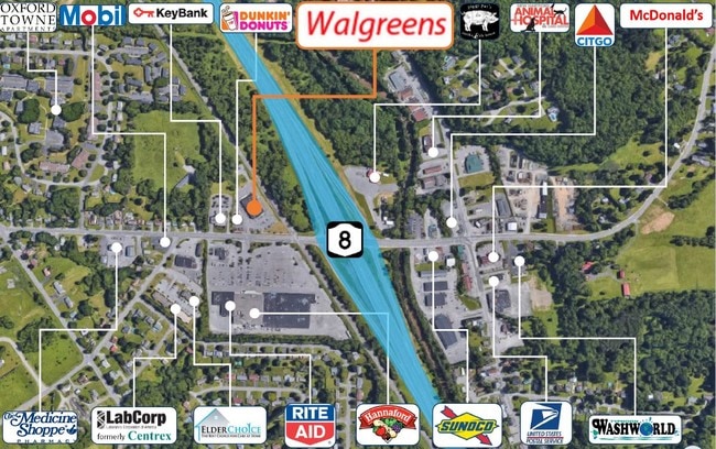
NEARBY LISTINGS FOR SALE OR LEASE
-
-
View all New Hartford listings for sale on LoopNet.com
Property Detail
49 Kellogg Rd
339-016-0001-001-000-0000
Oneida
Communitycenter
New York
X
1.000
36065C0742F
1.80 AC
2025
Outlying Oneida County
2024
Utica/Rome
025300
Utica-Rome, NY
14,550 SF
DEMOGRAPHICS near 49 Kellogg Rd
1 Mile
3 Mile
5 Mile
2024 Total Population
5,320
36,721
94,461
2029 Population
5,282
36,198
92,549
Pop Growth 2024-2029
(0.71%)
(1.42%)
(2.02%)
Average Age
43
41
40
2024 Total Households
2,277
15,204
38,874
HH Growth 2024-2029
(0.79%)
(1.44%)
(2.01%)
Median Household Inc
$92,711
$62,740
$52,063
Avg Household Size
2.30
2.30
2.30
2024 Avg HH Vehicles
2.00
2.00
1.00
Median Home Value
$220,718
$174,311
$159,940
Median Year Built
1964
1952
1950
Nearby Places
Map Layers
Map Styles
 Street
 Aerial
- Restaurants
- Banks
- Shops
- Fitness
- Groceries
PUBLIC TRANSPORTATION
COMMUTER RAIL
DRIVE
WALK
Distance
11 min
6.5 mi
DRIVE
WALK
Distance
12 min
6.6 mi
SALE & LEASE HISTORY
LISTING DATE
SALE/LEASE

Jun 03, 2019
For Sale
Nearby Properties
Address
Land Use
TOTAL SIZE
Lot Size
Zoning
Address
Land Use
TOTAL SIZE
Lot Size
Zoning
271,000 SF
16.50 AC
Address
Land Use
TOTAL SIZE
Lot Size
Zoning
446,163 SF
24.07 AC
05 - COMME
Address
Land Use
TOTAL SIZE
Lot Size
Zoning
236,597 SF
2.10 AC
Address
Land Use
TOTAL SIZE
Lot Size
Zoning
250,115 SF
21.80 AC
05 - COMME
Address
Land Use
TOTAL SIZE
Lot Size
Zoning
109,000 SF
13.56 AC
01 - NOT Z
Address
Land Use
TOTAL SIZE
Lot Size
Zoning
8,600 SF
8.33 AC
05 - COMME
Address
Land Use
TOTAL SIZE
Lot Size
Zoning
124,950 SF
0.01 AC
05 - COMME
Address
Land Use
TOTAL SIZE
Lot Size
Zoning
2,565 SF
216.10 AC
05 - COMME
Address
Land Use
TOTAL SIZE
Lot Size
Zoning
235,132 SF
21.09 AC
01 - NOT Z
Address
Land Use
TOTAL SIZE
Lot Size
Zoning
131,534 SF
16 AC
05 - COMME
Address
Land Use
TOTAL SIZE
Lot Size
Zoning
1,085,454 SF
101.28 AC
05 - COMME
Address
Land Use
TOTAL SIZE
Lot Size
Zoning
25,860 SF
18.45 AC
05 - COMME
Address
Land Use
TOTAL SIZE
Lot Size
Zoning
55,172 SF
81.24 AC
Address
Land Use
TOTAL SIZE
Lot Size
Zoning
61,465 SF
4.64 AC
05 - COMME
Address
Land Use
TOTAL SIZE
Lot Size
Zoning
55,916 SF
4.50 AC
Address
Land Use
TOTAL SIZE
Lot Size
Zoning
292,687 SF
41.33 AC
05 - COMME
Address
Land Use
TOTAL SIZE
Lot Size
Zoning
5,580 SF
0.74 AC
Address
Land Use
TOTAL SIZE
Lot Size
Zoning
64,016 SF
57.30 AC
05 - COMME
Address
Land Use
TOTAL SIZE
Lot Size
Zoning
130,543 SF
12.07 AC
05 - COMME
Address
Land Use
TOTAL SIZE
Lot Size
Zoning
94,050 SF
22.58 AC
05 - COMME
Address
Land Use
TOTAL SIZE
Lot Size
Zoning
77,584 SF
8 AC
Address
Land Use
TOTAL SIZE
Lot Size
Zoning
118,048 SF
32.59 AC
05 - COMME
Address
Land Use
TOTAL SIZE
Lot Size
Zoning
31,023 SF
1.72 AC
Address
Land Use
TOTAL SIZE
Lot Size
Zoning
15 AC
05 - COMME
Address
Land Use
TOTAL SIZE
Lot Size
Zoning
114,250 SF
12.53 AC
01 - NOT Z
Address
Land Use
TOTAL SIZE
Lot Size
Zoning
1,875 SF
13.90 AC
05 - COMME
Address
Land Use
TOTAL SIZE
Lot Size
Zoning
31,460 SF
13.90 AC
Address
Land Use
TOTAL SIZE
Lot Size
Zoning
127,232 SF
1.13 AC
Address
Land Use
TOTAL SIZE
Lot Size
Zoning
89,690 SF
13.50 AC
05 - COMME
Address
Land Use
TOTAL SIZE
Lot Size
Zoning
720 SF
15.14 AC
05 - COMME
The World's #1 Commercial Real Estate Marketplace
Connect with us
© 2025 CoStar Group
The information above has been obtained from sources believed reliable. While we do not doubt its accuracy we have not verified it and make no guarantee, warranty or representation about it. It is your responsibility to independently confirm its accuracy and completeness. Any projections, opinions, assumptions, or estimates used are for example only and do not represent the current or future performance of the property. The value of this transaction to you depends on tax and other factors which should be evaluated by your tax, financial, and legal advisors. You and your advisors should conduct a careful, independent investigation of the property to determine to your satisfaction the suitability of the property for your needs.