Property Record
49 Pennington Dr, Bluffton, SC 29910
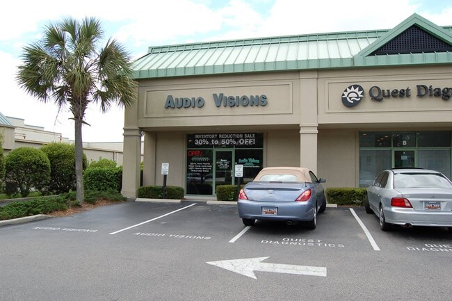

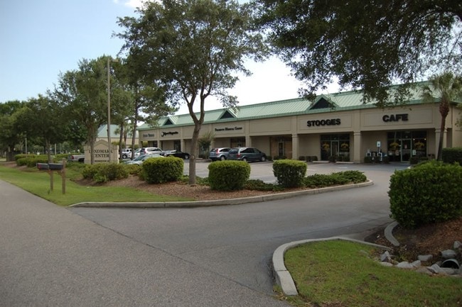
Property Detail
49 Pennington Dr
Hilton Head Island-Bluffton-Port Royal, SC
LOT 9 SHERIDAN COMMERCIAL CENTRE PB34 P52 PB35 P149 PB35 P171 PB64 P34
R610-031-00D-0010-0000
Beaufort
Storebuilding
South Carolina
6616
9
2025
1.68 AC
2025
Hilton Head/Beaufort
002107
Other Market Areas
44,718 SF
NEARBY LISTINGS FOR SALE OR LEASE
DEMOGRAPHICS near 49 Pennington Dr
1 mile
3 mile
5 mile
2025 Total Population
4,262
23,143
42,922
2030 Population
4,372
23,882
44,635
Pop Growth 2025-2030
+ 2.58%
+ 3.19%
+ 3.99%
Average Age
42
42
43
2025 Total Households
1,701
8,962
16,661
HH Growth 2025-2030
+ 2.88%
+ 3.46%
+ 4.31%
Median Household Inc
$80,445
$87,536
$93,246
Avg Household Size
2.40
2.50
2.50
2025 Avg HH Vehicles
2.00
2.00
2.00
Median Home Value
$451,612
$456,837
$526,490
Median Year Built
2001
2002
2004
Nearby Places
Map Layers
Map Styles
 Street
 Aerial
Layers
 Traffic
 Biking
Places
Listings with unknown addresses are not visible on the map
- Restaurants
- Banks
- Shops
- Fitness
- Groceries
PUBLIC TRANSPORTATION
AIRPORT
Hilton Head
Drive
Walk
Distance
Hilton Head
20 min
11.6 mi
Savannah/Hilton Head International
Drive
Walk
Distance
Savannah/Hilton Head International
48 min
34.1 mi
Freight Ports
Georgia Ports - Savannah
Drive
Walk
Distance
Georgia Ports - Savannah
44 min
32.6 mi
Nearby Properties
Address
Land Use
TOTAL SIZE
Lot Size
Zoning
Address
Land Use
TOTAL SIZE
Lot Size
Zoning
239,640 SF
17.73 AC
6606
Address
Land Use
TOTAL SIZE
Lot Size
Zoning
212,987 SF
24.53 AC
6616
Address
Land Use
TOTAL SIZE
Lot Size
Zoning
4,689 SF
14.72 AC
6616
Address
Land Use
TOTAL SIZE
Lot Size
Zoning
214,389 SF
28.18 AC
6616
Address
Land Use
TOTAL SIZE
Lot Size
Zoning
35,034 SF
10.32 AC
6616
Address
Land Use
TOTAL SIZE
Lot Size
Zoning
156,459 SF
9.59 AC
Address
Land Use
TOTAL SIZE
Lot Size
Zoning
90,696 SF
62.80 AC
6616
Address
Land Use
TOTAL SIZE
Lot Size
Zoning
124,741 SF
10.77 AC
6616
Address
Land Use
TOTAL SIZE
Lot Size
Zoning
111,303 SF
9.56 AC
Address
Land Use
TOTAL SIZE
Lot Size
Zoning
61,102 SF
12.20 AC
6606
Address
Land Use
TOTAL SIZE
Lot Size
Zoning
139,215 SF
13.63 AC
6106
Address
Land Use
TOTAL SIZE
Lot Size
Zoning
65,304 SF
27.78 AC
6606
Address
Land Use
TOTAL SIZE
Lot Size
Zoning
135,152 SF
14.03 AC
Address
Land Use
TOTAL SIZE
Lot Size
Zoning
69,506 SF
3.24 AC
6616
Address
Land Use
TOTAL SIZE
Lot Size
Zoning
87,531 SF
21.48 AC
6106
Address
Land Use
TOTAL SIZE
Lot Size
Zoning
119,902 SF
4.16 AC
6606
Address
Land Use
TOTAL SIZE
Lot Size
Zoning
101,762 SF
11.18 AC
6616
Address
Land Use
TOTAL SIZE
Lot Size
Zoning
90,660 SF
5.85 AC
6616
Address
Land Use
TOTAL SIZE
Lot Size
Zoning
125,348 SF
9.75 AC
6616
Address
Land Use
TOTAL SIZE
Lot Size
Zoning
54,614 SF
142.72 AC
6616
Address
Land Use
TOTAL SIZE
Lot Size
Zoning
79,616 SF
23.51 AC
6616
Address
Land Use
TOTAL SIZE
Lot Size
Zoning
137,065 SF
26.18 AC
6616
Address
Land Use
TOTAL SIZE
Lot Size
Zoning
25,668 SF
302.85 AC
6616
Address
Land Use
TOTAL SIZE
Lot Size
Zoning
63,849 SF
10.80 AC
6616
Address
Land Use
TOTAL SIZE
Lot Size
Zoning
67,812 SF
20.19 AC
4206
Address
Land Use
TOTAL SIZE
Lot Size
Zoning
102,252 SF
17.35 AC
6616
Address
Land Use
TOTAL SIZE
Lot Size
Zoning
4.30 AC
6606
Address
Land Use
TOTAL SIZE
Lot Size
Zoning
95,279 SF
11.27 AC
6616
Address
Land Use
TOTAL SIZE
Lot Size
Zoning
42,829 SF
15.21 AC
6616
The World's #1 Commercial Real Estate Marketplace
Connect with us
© 2026 CoStar Group
The information above has been obtained from sources believed reliable. While we do not doubt its accuracy we have not verified it and make no guarantee, warranty or representation about it. It is your responsibility to independently confirm its accuracy and completeness. Any projections, opinions, assumptions, or estimates used are for example only and do not represent the current or future performance of the property. The value of this transaction to you depends on tax and other factors which should be evaluated by your tax, financial, and legal advisors. You and your advisors should conduct a careful, independent investigation of the property to determine to your satisfaction the suitability of the property for your needs.