Property Record
4900 Devonshire Ave, Saint Louis, MO 63109

Save to a Folder
{{folder.Name}}
{{folder.ListingIds.length}} Properties
{{folder.ListingIds.length}} Property
Create a New Folder
Property Detail
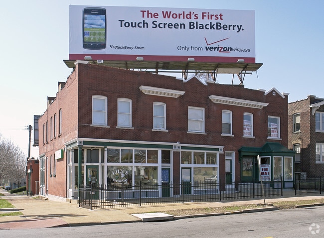
4900 Devonshire Ave
5175-00-0270-7
C.B. 5175 DEVONSHIRE 58 FT 8 3/4 IN / 58 FT X 125 FT SOUTHAMPTON ADDN BLOCK 17 LOT 42
Commercialnec
ST. LOUIS CITY
F
Missouri
B and X Area of moderate flood hazard, usually the area between the limits of the 100-year and 500-year floods.
42
2025
0.09 AC
2026
St Louis City South
114300
St. Louis
7,668 SF
St. Louis, MO-IL
NEARBY LISTINGS FOR SALE OR LEASE
DEMOGRAPHICS near 4900 Devonshire Ave
1 mile
3 mile
5 mile
2025 Total Population
21,904
148,927
319,117
2030 Population
20,020
140,444
306,629
Pop Growth 2025-2030
(8.60%)
(5.70%)
(3.91%)
Average Age
41
40
40
2025 Total Households
11,042
70,627
149,012
HH Growth 2025-2030
(9.05%)
(6.20%)
(4.47%)
Median Household Inc
$64,165
$67,875
$70,795
Avg Household Size
1.90
2.00
2.00
2025 Avg HH Vehicles
1.00
1.00
1.00
Median Home Value
$203,575
$215,211
$242,366
Median Year Built
1947
1947
1948
Nearby Places
Map Layers
Map Styles
 Street
 Aerial
Layers
 Traffic
 Biking
Places
Listings with unknown addresses are not visible on the map
- Restaurants
- Banks
- Shops
- Fitness
- Groceries
PUBLIC TRANSPORTATION
COMMUTER RAIL
Shrewsbury-Lansdowne (Shrewsbury-Lansdowne I-44 Emerson Park - St. Louis MetroLink (MetroLink))
Drive
Walk
Distance
Shrewsbury-Lansdowne (Shrewsbury-Lansdowne I-44 Emerson Park - St. Louis MetroLink (MetroLink))
7 min
2.8 mi
Central West End (Lambert Airport Shiloh-Scott - St. Louis MetroLink (MetroLink), Shrewsbury-Lansdowne I-44 Emerson Park - St. Louis MetroLink (MetroLink))
Drive
Walk
Distance
Central West End (Lambert Airport Shiloh-Scott - St. Louis MetroLink (MetroLink), Shrewsbury-Lansdowne I-44 Emerson Park - St. Louis MetroLink (MetroLink))
10 min
3.7 mi
AIRPORT
St Louis Lambert International
Drive
Walk
Distance
St Louis Lambert International
28 min
17.5 mi
Scott AFB/Midamerica St Louis
Drive
Walk
Distance
Scott AFB/Midamerica St Louis
50 min
31.6 mi
Nearby Properties
Address
Land Use
TOTAL SIZE
Lot Size
Zoning
Address
Land Use
TOTAL SIZE
Lot Size
Zoning
0.92 AC
A
Address
Land Use
TOTAL SIZE
Lot Size
Zoning
5.61 AC
A
Address
Land Use
TOTAL SIZE
Lot Size
Zoning
229.57 AC
B
Address
Land Use
TOTAL SIZE
Lot Size
Zoning
177.77 AC
A
Address
Land Use
TOTAL SIZE
Lot Size
Zoning
57.77 AC
A
Address
Land Use
TOTAL SIZE
Lot Size
Zoning
86,400 SF
6.05 AC
J
Address
Land Use
TOTAL SIZE
Lot Size
Zoning
358,243 SF
3.02 AC
H
Address
Land Use
TOTAL SIZE
Lot Size
Zoning
306,459 SF
4.79 AC
H
Address
Land Use
TOTAL SIZE
Lot Size
Zoning
44.38 AC
R1
Address
Land Use
TOTAL SIZE
Lot Size
Zoning
384,995 SF
5.83 AC
H
Address
Land Use
TOTAL SIZE
Lot Size
Zoning
275,012 SF
4.39 AC
C
Address
Land Use
TOTAL SIZE
Lot Size
Zoning
22.44 AC
A
Address
Land Use
TOTAL SIZE
Lot Size
Zoning
432,844 SF
5.08 AC
JK
Address
Land Use
TOTAL SIZE
Lot Size
Zoning
220,982 SF
2.83 AC
HB
Address
Land Use
TOTAL SIZE
Lot Size
Zoning
23.21 AC
A
Address
Land Use
TOTAL SIZE
Lot Size
Zoning
106,148 SF
13.01 AC
53C-2
Address
Land Use
TOTAL SIZE
Lot Size
Zoning
261,362 SF
17.19 AC
R6
Address
Land Use
TOTAL SIZE
Lot Size
Zoning
126,420 SF
1.41 AC
G
Address
Land Use
TOTAL SIZE
Lot Size
Zoning
126,420 SF
1.41 AC
G
Address
Land Use
TOTAL SIZE
Lot Size
Zoning
86,230 SF
4.01 AC
H
Address
Land Use
TOTAL SIZE
Lot Size
Zoning
394,790 SF
19.32 AC
K
Address
Land Use
TOTAL SIZE
Lot Size
Zoning
50.67 AC
A
Address
Land Use
TOTAL SIZE
Lot Size
Zoning
433,028 SF
32.35 AC
A
Address
Land Use
TOTAL SIZE
Lot Size
Zoning
554,648 SF
16.76 AC
G
Address
Land Use
TOTAL SIZE
Lot Size
Zoning
118,491 SF
0.83 AC
F
Address
Land Use
TOTAL SIZE
Lot Size
Zoning
79,843 SF
1.18 AC
G
Address
Land Use
TOTAL SIZE
Lot Size
Zoning
133,832 SF
12.18 AC
53C-2
Address
Land Use
TOTAL SIZE
Lot Size
Zoning
124,541 SF
13.07 AC
G
Address
Land Use
TOTAL SIZE
Lot Size
Zoning
54,790 SF
0.87 AC
B
Address
Land Use
TOTAL SIZE
Lot Size
Zoning
122,278 SF
10.83 AC
F
The World's #1 Commercial Real Estate Marketplace
Connect with us
© 2026 CoStar Group
The information above has been obtained from sources believed reliable. While we do not doubt its accuracy we have not verified it and make no guarantee, warranty or representation about it. It is your responsibility to independently confirm its accuracy and completeness. Any projections, opinions, assumptions, or estimates used are for example only and do not represent the current or future performance of the property. The value of this transaction to you depends on tax and other factors which should be evaluated by your tax, financial, and legal advisors. You and your advisors should conduct a careful, independent investigation of the property to determine to your satisfaction the suitability of the property for your needs.