Property Record
4909 S Verrado Way, Buckeye, AZ 85326
NEARBY LISTINGS FOR SALE OR LEASE
-
-
View all Buckeye listings for sale on LoopNet.com
Property Detail
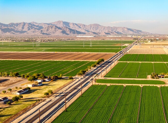
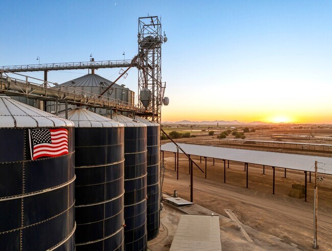
4909 S Verrado Way
502-53-001
SEC 31 & 32 PT TR 46 BEG SW COR TR 46 TH N 1315.3 8F E 1317.95F TH CON E 1310.05F S 1084.20F TH W 3 78.15F S 83.5F W 150F S 150F TH W 2098.95F TO POB EX 40F RUN E TO W IMMED S OF N LN PROP HEREIN DE SC 294/356 & EX S 33F RD
Farms
Maricopa
X
Arizona
04013C2120M
143.23 AC
2025
West I-10
2025
Phoenix
050611
Phoenix-Mesa-Scottsdale, AZ
11,078 SF
DEMOGRAPHICS near 4909 S Verrado Way
1 Mile
3 Mile
5 Mile
2024 Total Population
247
4,943
60,629
2029 Population
251
5,348
66,366
Pop Growth 2024-2029
+ 1.62%
+ 8.19%
+ 9.46%
Average Age
36
36
36
2024 Total Households
62
1,391
18,328
HH Growth 2024-2029
+ 1.61%
+ 8.41%
+ 9.55%
Median Household Inc
$117,856
$97,684
$90,793
Avg Household Size
3.40
3.30
3.20
2024 Avg HH Vehicles
4.00
3.00
2.00
Median Home Value
$545,454
$469,892
$348,747
Median Year Built
2003
2008
2007
Nearby Places
Map Layers
Map Styles
 Street
 Aerial
- Restaurants
- Banks
- Shops
- Fitness
- Groceries
PUBLIC TRANSPORTATION
AIRPORT
Phoenix Sky Harbor International
DRIVE
WALK
Distance
Phoenix Sky Harbor International
47 min
35.3 mi
Freight Ports
Port of San Diego
DRIVE
WALK
Distance
Port of San Diego
366 min
327.0 mi
SALE & LEASE HISTORY
LISTING DATE
SALE/LEASE

Feb 21, 2025
For Sale
Nearby Properties
Address
Land Use
TOTAL SIZE
Lot Size
Zoning
Address
Land Use
TOTAL SIZE
Lot Size
Zoning
13.35 AC
Address
Land Use
TOTAL SIZE
Lot Size
Zoning
11.14 AC
Address
Land Use
TOTAL SIZE
Lot Size
Zoning
530,307 SF
35.52 AC
Address
Land Use
TOTAL SIZE
Lot Size
Zoning
1.98 AC
PAD
Address
Land Use
TOTAL SIZE
Lot Size
Zoning
73,130 SF
3.68 AC
PAD
Address
Land Use
TOTAL SIZE
Lot Size
Zoning
8,144 SF
39.69 AC
R-43
Address
Land Use
TOTAL SIZE
Lot Size
Zoning
99,117 SF
21.66 AC
SU
Address
Land Use
TOTAL SIZE
Lot Size
Zoning
3.10 AC
Address
Land Use
TOTAL SIZE
Lot Size
Zoning
65,023 SF
12.52 AC
C-C
Address
Land Use
TOTAL SIZE
Lot Size
Zoning
Address
Land Use
TOTAL SIZE
Lot Size
Zoning
108,952 SF
32.46 AC
I-2
Address
Land Use
TOTAL SIZE
Lot Size
Zoning
14,968 SF
73.37 AC
R-43
Address
Land Use
TOTAL SIZE
Lot Size
Zoning
17,298 SF
5.58 AC
CC
Address
Land Use
TOTAL SIZE
Lot Size
Zoning
2,528 SF
17 AC
R-43
Address
Land Use
TOTAL SIZE
Lot Size
Zoning
16,558 SF
4 AC
PUD
Address
Land Use
TOTAL SIZE
Lot Size
Zoning
2,448 SF
28.01 AC
PAD
Address
Land Use
TOTAL SIZE
Lot Size
Zoning
19,800 SF
14.73 AC
C-G
Address
Land Use
TOTAL SIZE
Lot Size
Zoning
9,046 SF
4.20 AC
R-43
Address
Land Use
TOTAL SIZE
Lot Size
Zoning
7,567 SF
2.15 AC
PC
Address
Land Use
TOTAL SIZE
Lot Size
Zoning
30,980 SF
38.75 AC
R-43
Address
Land Use
TOTAL SIZE
Lot Size
Zoning
73.82 AC
R-43
Address
Land Use
TOTAL SIZE
Lot Size
Zoning
15,747 SF
94.16 AC
R-43
Address
Land Use
TOTAL SIZE
Lot Size
Zoning
15,384 SF
4.81 AC
I-2
Address
Land Use
TOTAL SIZE
Lot Size
Zoning
8,280 SF
16.62 AC
Address
Land Use
TOTAL SIZE
Lot Size
Zoning
The World's #1 Commercial Real Estate Marketplace
Connect with us
© 2025 CoStar Group
The information above has been obtained from sources believed reliable. While we do not doubt its accuracy we have not verified it and make no guarantee, warranty or representation about it. It is your responsibility to independently confirm its accuracy and completeness. Any projections, opinions, assumptions, or estimates used are for example only and do not represent the current or future performance of the property. The value of this transaction to you depends on tax and other factors which should be evaluated by your tax, financial, and legal advisors. You and your advisors should conduct a careful, independent investigation of the property to determine to your satisfaction the suitability of the property for your needs.