Property Record
4910 Ralls Rd, Fort Pierce, FL 34981


Current Lease Availabilities
NEARBY LISTINGS FOR SALE OR LEASE
Property Detail
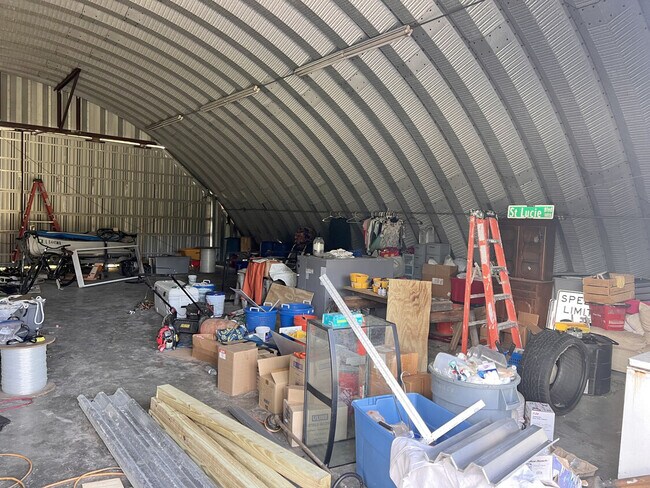
4910 Ralls Rd
Port St. Lucie, FL
Metes And Bounds
24-30-311-0011-0002
St Lucie
Sfr
Florida
AE
13.69 AC
12111C0169J
Fort Pierce
3,094 SF
Port St Lucie/Fort Pierce
DEMOGRAPHICS near 4910 Ralls Rd
1 Mile
3 Mile
5 Mile
2024 Total Population
1,797
32,990
97,070
2029 Population
2,201
39,288
114,373
Pop Growth 2024-2029
+ 22.48%
+ 19.09%
+ 17.83%
Average Age
41
37
40
2024 Total Households
612
11,501
35,342
HH Growth 2024-2029
+ 21.73%
+ 18.43%
+ 17.24%
Median Household Inc
$73,429
$56,985
$50,480
Avg Household Size
2.60
2.70
2.60
2024 Avg HH Vehicles
2.00
2.00
2.00
Median Home Value
$318,033
$280,640
$250,756
Median Year Built
1997
1994
1988
Nearby Places
Map Layers
Map Styles
 Street
 Aerial
- Restaurants
- Banks
- Shops
- Fitness
- Groceries
Nearby Properties
Address
Land Use
TOTAL SIZE
Lot Size
Zoning
Address
Land Use
TOTAL SIZE
Lot Size
Zoning
1,079,868 SF
123.50 AC
Address
Land Use
TOTAL SIZE
Lot Size
Zoning
1,011,160 SF
129.52 AC
COMM PARKW
Address
Land Use
TOTAL SIZE
Lot Size
Zoning
206,371 SF
22.36 AC
OFFICE CO
Address
Land Use
TOTAL SIZE
Lot Size
Zoning
1,124,770 SF
201.84 AC
LIGHT INDU
Address
Land Use
TOTAL SIZE
Lot Size
Zoning
230,294 SF
40.59 AC
Address
Land Use
TOTAL SIZE
Lot Size
Zoning
352,224 SF
52.44 AC
SF INTERME
Address
Land Use
TOTAL SIZE
Lot Size
Zoning
95,390 SF
19.40 AC
HIGH DESIT
Address
Land Use
TOTAL SIZE
Lot Size
Zoning
150,004 SF
29.19 AC
GENERAL CO
Address
Land Use
TOTAL SIZE
Lot Size
Zoning
119,847 SF
12.48 AC
GENERAL CO
Address
Land Use
TOTAL SIZE
Lot Size
Zoning
221,304 SF
12.71 AC
COMM PARKW
Address
Land Use
TOTAL SIZE
Lot Size
Zoning
114,420 SF
22.25 AC
PUD
Address
Land Use
TOTAL SIZE
Lot Size
Zoning
128,427 SF
25.89 AC
MEDIUM DEN
Address
Land Use
TOTAL SIZE
Lot Size
Zoning
66,153 SF
24.36 AC
GENERAL &
Address
Land Use
TOTAL SIZE
Lot Size
Zoning
204,977 SF
28.45 AC
GENERAL CO
Address
Land Use
TOTAL SIZE
Lot Size
Zoning
425,404 SF
189.99 AC
INDUST HEA
Address
Land Use
TOTAL SIZE
Lot Size
Zoning
251,724 SF
30.80 AC
GENERAL CO
Address
Land Use
TOTAL SIZE
Lot Size
Zoning
24,696 SF
18.41 AC
GENERAL CO
Address
Land Use
TOTAL SIZE
Lot Size
Zoning
42,150 SF
3.23 AC
GENERAL CO
Address
Land Use
TOTAL SIZE
Lot Size
Zoning
23,278 SF
2.67 AC
GENERAL CO
Address
Land Use
TOTAL SIZE
Lot Size
Zoning
426,444 SF
180.62 AC
INDUST HEA
Address
Land Use
TOTAL SIZE
Lot Size
Zoning
8,312 SF
109.46 AC
COMM PARKW
Address
Land Use
TOTAL SIZE
Lot Size
Zoning
143.81 AC
INDUST HEA
Address
Land Use
TOTAL SIZE
Lot Size
Zoning
76,783 SF
9.48 AC
INDUSTRIAL
Address
Land Use
TOTAL SIZE
Lot Size
Zoning
58,331 SF
11.31 AC
MEDIUM DEN
Address
Land Use
TOTAL SIZE
Lot Size
Zoning
155,994 SF
25.13 AC
Address
Land Use
TOTAL SIZE
Lot Size
Zoning
115,443 SF
23.83 AC
SF INTERME
Address
Land Use
TOTAL SIZE
Lot Size
Zoning
158,300 SF
18.61 AC
GENERAL CO
Address
Land Use
TOTAL SIZE
Lot Size
Zoning
86,625 SF
11.59 AC
PUD
Address
Land Use
TOTAL SIZE
Lot Size
Zoning
193,096 SF
17.41 AC
Address
Land Use
TOTAL SIZE
Lot Size
Zoning
13,309 SF
8.22 AC
GENERAL CO
The World's #1 Commercial Real Estate Marketplace
Connect with us
© 2026 CoStar Group
The information above has been obtained from sources believed reliable. While we do not doubt its accuracy we have not verified it and make no guarantee, warranty or representation about it. It is your responsibility to independently confirm its accuracy and completeness. Any projections, opinions, assumptions, or estimates used are for example only and do not represent the current or future performance of the property. The value of this transaction to you depends on tax and other factors which should be evaluated by your tax, financial, and legal advisors. You and your advisors should conduct a careful, independent investigation of the property to determine to your satisfaction the suitability of the property for your needs.