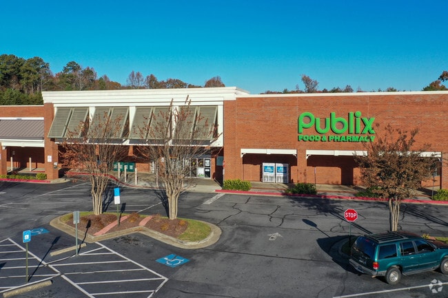
Property Record
4918 Atlanta Hwy, Alpharetta, GA 30004
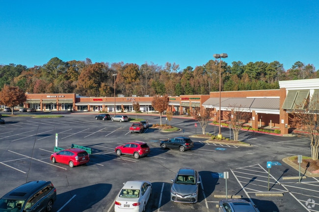
NEARBY LISTINGS FOR SALE OR LEASE
Property Detail
4918 Atlanta Hwy
039-002
Midway Comm Dis
Commercialnec
2-1 464 TRACT II
X
Forsyth
13117C0136F
Georgia
2024
13.16 AC
2025
Cumming/Forsyth Cnty
130304
Atlanta
165 SF
Atlanta-Sandy Springs-Roswell, GA
DEMOGRAPHICS near 4918 Atlanta Hwy
1 Mile
3 Mile
5 Mile
2024 Total Population
3,849
42,966
120,672
2029 Population
4,480
48,740
135,979
Pop Growth 2024-2029
+ 16.39%
+ 13.44%
+ 12.68%
Average Age
38
38
38
2024 Total Households
1,271
13,944
41,028
HH Growth 2024-2029
+ 16.44%
+ 13.63%
+ 12.54%
Median Household Inc
$153,368
$146,732
$129,787
Avg Household Size
3.00
3.00
2.90
2024 Avg HH Vehicles
2.00
2.00
2.00
Median Home Value
$478,108
$487,644
$471,431
Median Year Built
2004
2004
2004
Nearby Places
Map Layers
Map Styles
 Street
 Aerial
- Restaurants
- Banks
- Shops
- Fitness
- Groceries
SALE & LEASE HISTORY
LISTING DATE
SALE/LEASE

Sep 25, 2016
For Lease
Apr 26, 2017
For Lease
Nearby Properties
Address
Land Use
TOTAL SIZE
Lot Size
Zoning
Address
Land Use
TOTAL SIZE
Lot Size
Zoning
281,780 SF
19.08 AC
PUD
Address
Land Use
TOTAL SIZE
Lot Size
Zoning
10,908 SF
107.57 AC
RES3
Address
Land Use
TOTAL SIZE
Lot Size
Zoning
119,926 SF
23.23 AC
M1
Address
Land Use
TOTAL SIZE
Lot Size
Zoning
4,616 SF
12.30 AC
R3
Address
Land Use
TOTAL SIZE
Lot Size
Zoning
83,161 SF
277.43 AC
A1
Address
Land Use
TOTAL SIZE
Lot Size
Zoning
207,663 SF
60.62 AC
R2R
Address
Land Use
TOTAL SIZE
Lot Size
Zoning
96,999 SF
10.93 AC
CBD
Address
Land Use
TOTAL SIZE
Lot Size
Zoning
155,701 SF
10.35 AC
R3
Address
Land Use
TOTAL SIZE
Lot Size
Zoning
95,950 SF
14 AC
M1
Address
Land Use
TOTAL SIZE
Lot Size
Zoning
6.97 AC
M1
Address
Land Use
TOTAL SIZE
Lot Size
Zoning
121,176 SF
5.86 AC
M1
Address
Land Use
TOTAL SIZE
Lot Size
Zoning
138,941 SF
26.40 AC
RES3
Address
Land Use
TOTAL SIZE
Lot Size
Zoning
112,810 SF
12.41 AC
M1
Address
Land Use
TOTAL SIZE
Lot Size
Zoning
151,980 SF
8.77 AC
M1
Address
Land Use
TOTAL SIZE
Lot Size
Zoning
6,298 SF
87.14 AC
A1
Address
Land Use
TOTAL SIZE
Lot Size
Zoning
124,700 SF
9.67 AC
M1
Address
Land Use
TOTAL SIZE
Lot Size
Zoning
181,540 SF
9.62 AC
M1
Address
Land Use
TOTAL SIZE
Lot Size
Zoning
4,800 SF
28.71 AC
M1
Address
Land Use
TOTAL SIZE
Lot Size
Zoning
217,056 SF
24.55 AC
CBD
Address
Land Use
TOTAL SIZE
Lot Size
Zoning
97,820 SF
8.39 AC
M1
Address
Land Use
TOTAL SIZE
Lot Size
Zoning
52,173 SF
2.99 AC
CBD
Address
Land Use
TOTAL SIZE
Lot Size
Zoning
116,648 SF
16.50 AC
M1
Address
Land Use
TOTAL SIZE
Lot Size
Zoning
24,931 SF
48.80 AC
CUP
Address
Land Use
TOTAL SIZE
Lot Size
Zoning
101,808 SF
2 AC
CBD
Address
Land Use
TOTAL SIZE
Lot Size
Zoning
83,786 SF
7.69 AC
M1
Address
Land Use
TOTAL SIZE
Lot Size
Zoning
84,461 SF
19.52 AC
AG1
Address
Land Use
TOTAL SIZE
Lot Size
Zoning
76,007 SF
6.44 AC
M1
Address
Land Use
TOTAL SIZE
Lot Size
Zoning
69,380 SF
5 AC
M1
Address
Land Use
TOTAL SIZE
Lot Size
Zoning
76,080 SF
7.12 AC
M1
Address
Land Use
TOTAL SIZE
Lot Size
Zoning
450 SF
97.50 AC
M1
The World's #1 Commercial Real Estate Marketplace
Connect with us
© 2026 CoStar Group
The information above has been obtained from sources believed reliable. While we do not doubt its accuracy we have not verified it and make no guarantee, warranty or representation about it. It is your responsibility to independently confirm its accuracy and completeness. Any projections, opinions, assumptions, or estimates used are for example only and do not represent the current or future performance of the property. The value of this transaction to you depends on tax and other factors which should be evaluated by your tax, financial, and legal advisors. You and your advisors should conduct a careful, independent investigation of the property to determine to your satisfaction the suitability of the property for your needs.