Property Record
492 Farm Road 1180, Aurora, MO 65605

NEARBY LISTINGS FOR SALE OR LEASE
-
-
View all Aurora listings for sale on LoopNet.com
Property Detail
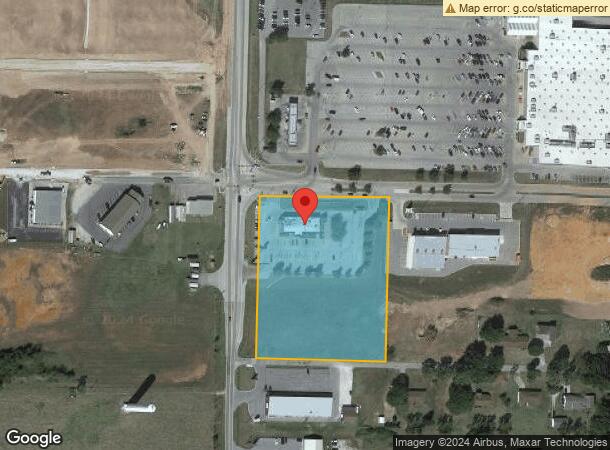
492 Farm Road 1180
20-4.0-19-003-002-001.000
BEG 210'N OF SW COR OF N1/2 LT 2 OF SW(FR), THEN N528' E462' S528' W462' W462' TO POB
Restaurantbuilding
Lawrence
X
Missouri
29109C0454D
2
0
6 AC
2025
Missouri South Area
960101
Other Market Areas
5,971 SF
DEMOGRAPHICS near 492 Farm Road 1180
1 Mile
3 Mile
5 Mile
2024 Total Population
770
9,383
12,060
2029 Population
806
9,841
12,602
Pop Growth 2024-2029
+ 4.68%
+ 4.88%
+ 4.49%
Average Age
43
40
40
2024 Total Households
312
3,767
4,801
HH Growth 2024-2029
+ 4.81%
+ 4.86%
+ 4.50%
Median Household Inc
$44,090
$40,234
$43,410
Avg Household Size
2.40
2.50
2.50
2024 Avg HH Vehicles
2.00
2.00
2.00
Median Home Value
$132,673
$91,355
$110,968
Median Year Built
1983
1971
1973
Nearby Places
Map Layers
Map Styles
 Street
 Aerial
- Restaurants
- Banks
- Shops
- Fitness
- Groceries
PUBLIC TRANSPORTATION
AIRPORT
Springfield-Branson Ntl
DRIVE
WALK
Distance
Springfield-Branson Ntl
57 min
33.8 mi
Freight Ports
Tulsa Port of Inola
DRIVE
WALK
Distance
Tulsa Port of Inola
175 min
152.6 mi
SALE & LEASE HISTORY
LISTING DATE
SALE/LEASE

Sep 24, 2016
For Sale
Nearby Properties
Address
Land Use
TOTAL SIZE
Lot Size
Zoning
Address
Land Use
TOTAL SIZE
Lot Size
Zoning
31,643 SF
51 AC
Address
Land Use
TOTAL SIZE
Lot Size
Zoning
24,928 SF
9.92 AC
Address
Land Use
TOTAL SIZE
Lot Size
Zoning
40,320 SF
1.50 AC
Address
Land Use
TOTAL SIZE
Lot Size
Zoning
10,170 SF
12.33 AC
Address
Land Use
TOTAL SIZE
Lot Size
Zoning
8,270 SF
1.68 AC
Address
Land Use
TOTAL SIZE
Lot Size
Zoning
46,650 SF
4.69 AC
Address
Land Use
TOTAL SIZE
Lot Size
Zoning
13,913 SF
1.39 AC
Address
Land Use
TOTAL SIZE
Lot Size
Zoning
68,005 SF
7.34 AC
Address
Land Use
TOTAL SIZE
Lot Size
Zoning
11,170 SF
1.38 AC
Address
Land Use
TOTAL SIZE
Lot Size
Zoning
35,113 SF
5.54 AC
Address
Land Use
TOTAL SIZE
Lot Size
Zoning
15,000 SF
10.16 AC
Address
Land Use
TOTAL SIZE
Lot Size
Zoning
43,289 SF
16.46 AC
Address
Land Use
TOTAL SIZE
Lot Size
Zoning
2.76 AC
Address
Land Use
TOTAL SIZE
Lot Size
Zoning
34,010 SF
10 AC
Address
Land Use
TOTAL SIZE
Lot Size
Zoning
7,800 SF
1.96 AC
Address
Land Use
TOTAL SIZE
Lot Size
Zoning
50,960 SF
10 AC
Address
Land Use
TOTAL SIZE
Lot Size
Zoning
9,100 SF
1.88 AC
Address
Land Use
TOTAL SIZE
Lot Size
Zoning
32,000 SF
31.20 AC
Address
Land Use
TOTAL SIZE
Lot Size
Zoning
5,070 SF
4.62 AC
Address
Land Use
TOTAL SIZE
Lot Size
Zoning
2,619 SF
3.75 AC
Address
Land Use
TOTAL SIZE
Lot Size
Zoning
3,731 SF
0.64 AC
Address
Land Use
TOTAL SIZE
Lot Size
Zoning
4,080 SF
1.37 AC
Address
Land Use
TOTAL SIZE
Lot Size
Zoning
Address
Land Use
TOTAL SIZE
Lot Size
Zoning
1,064 SF
1.59 AC
Address
Land Use
TOTAL SIZE
Lot Size
Zoning
6,960 SF
2.65 AC
The World's #1 Commercial Real Estate Marketplace
Connect with us
© 2026 CoStar Group
The information above has been obtained from sources believed reliable. While we do not doubt its accuracy we have not verified it and make no guarantee, warranty or representation about it. It is your responsibility to independently confirm its accuracy and completeness. Any projections, opinions, assumptions, or estimates used are for example only and do not represent the current or future performance of the property. The value of this transaction to you depends on tax and other factors which should be evaluated by your tax, financial, and legal advisors. You and your advisors should conduct a careful, independent investigation of the property to determine to your satisfaction the suitability of the property for your needs.