Property Record
4925 State Route 30, Schoharie, NY 12157


NEARBY LISTINGS FOR SALE OR LEASE
-
-
View all Schoharie listings for sale on LoopNet.com
Property Detail
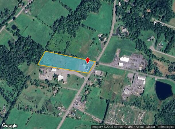
4925 State Route 30
433889-083-000-0005-004-000-0000
Schoharie
Storageyardjunkautowreckingsalvage
New York
X
4.000
36095C0189E
6.58 AC
2025
Schoharie County
2024
Albany/Schenectady/Troy
740700
Albany-Schenectady-Troy, NY
2,475 SF
DEMOGRAPHICS near 4925 State Route 30
1 Mile
3 Mile
5 Mile
2024 Total Population
165
2,786
5,926
2029 Population
166
2,797
5,944
Pop Growth 2024-2029
+ 0.61%
+ 0.39%
+ 0.30%
Average Age
45
45
44
2024 Total Households
70
1,210
2,561
HH Growth 2024-2029
+ 1.43%
+ 0.17%
+ 0.12%
Median Household Inc
$65,454
$66,210
$64,727
Avg Household Size
2.30
2.20
2.30
2024 Avg HH Vehicles
2.00
2.00
2.00
Median Home Value
$174,999
$181,490
$173,976
Median Year Built
1975
1971
1960
Nearby Places
- Restaurants
- Banks
- Shops
- Fitness
- Groceries
PUBLIC TRANSPORTATION
AIRPORT
Albany International
DRIVE
WALK
Distance
Albany International
54 min
37.9 mi
Freight Ports
Albany, NY Port
DRIVE
WALK
Distance
Albany, NY Port
53 min
41.1 mi
SALE & LEASE HISTORY
LISTING DATE
SALE/LEASE

Sep 24, 2016
For Sale
Nearby Properties
Address
Land Use
TOTAL SIZE
Lot Size
Zoning
Address
Land Use
TOTAL SIZE
Lot Size
Zoning
181,478 SF
41.44 AC
R1
Address
Land Use
TOTAL SIZE
Lot Size
Zoning
Address
Land Use
TOTAL SIZE
Lot Size
Zoning
74,443 SF
3.30 AC
C
Address
Land Use
TOTAL SIZE
Lot Size
Zoning
Address
Land Use
TOTAL SIZE
Lot Size
Zoning
Address
Land Use
TOTAL SIZE
Lot Size
Zoning
13,127 SF
3.67 AC
H
Address
Land Use
TOTAL SIZE
Lot Size
Zoning
Address
Land Use
TOTAL SIZE
Lot Size
Zoning
31,920 SF
5.36 AC
C1
Address
Land Use
TOTAL SIZE
Lot Size
Zoning
Address
Land Use
TOTAL SIZE
Lot Size
Zoning
Address
Land Use
TOTAL SIZE
Lot Size
Zoning
Address
Land Use
TOTAL SIZE
Lot Size
Zoning
Address
Land Use
TOTAL SIZE
Lot Size
Zoning
79,955 SF
6.70 AC
C
Address
Land Use
TOTAL SIZE
Lot Size
Zoning
15,428 SF
13.71 AC
HB
Address
Land Use
TOTAL SIZE
Lot Size
Zoning
3,313 SF
16.28 AC
Address
Land Use
TOTAL SIZE
Lot Size
Zoning
3,048 SF
7.60 AC
C
Address
Land Use
TOTAL SIZE
Lot Size
Zoning
22,000 SF
4 AC
C
Address
Land Use
TOTAL SIZE
Lot Size
Zoning
27,600 SF
5.50 AC
C
Address
Land Use
TOTAL SIZE
Lot Size
Zoning
25,520 SF
3.14 AC
A
Address
Land Use
TOTAL SIZE
Lot Size
Zoning
17.38 AC
R3
Address
Land Use
TOTAL SIZE
Lot Size
Zoning
12,666 SF
5.73 AC
R2
Address
Land Use
TOTAL SIZE
Lot Size
Zoning
7,940 SF
0.90 AC
H
Address
Land Use
TOTAL SIZE
Lot Size
Zoning
4,209 SF
12 AC
I
Address
Land Use
TOTAL SIZE
Lot Size
Zoning
3,224 SF
1.69 AC
C
Address
Land Use
TOTAL SIZE
Lot Size
Zoning
13,428 SF
1.05 AC
C
Address
Land Use
TOTAL SIZE
Lot Size
Zoning
32.05 AC
Address
Land Use
TOTAL SIZE
Lot Size
Zoning
Address
Land Use
TOTAL SIZE
Lot Size
Zoning
3,304 SF
124.60 AC
R2
Address
Land Use
TOTAL SIZE
Lot Size
Zoning
16,110 SF
54.69 AC
R3
Address
Land Use
TOTAL SIZE
Lot Size
Zoning
9,364 SF
1.60 AC
HB
The World's #1 Commercial Real Estate Marketplace
Connect with us
© 2025 CoStar Group
The information above has been obtained from sources believed reliable. While we do not doubt its accuracy we have not verified it and make no guarantee, warranty or representation about it. It is your responsibility to independently confirm its accuracy and completeness. Any projections, opinions, assumptions, or estimates used are for example only and do not represent the current or future performance of the property. The value of this transaction to you depends on tax and other factors which should be evaluated by your tax, financial, and legal advisors. You and your advisors should conduct a careful, independent investigation of the property to determine to your satisfaction the suitability of the property for your needs.