Property Record
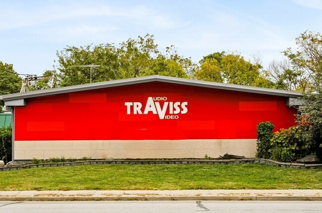
4931 Douglas Ave, Des Moines, IA 50310
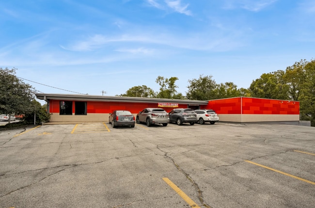

This Property Is For Sale
Property Detail
4931 Douglas Ave
100-11198001000
LOTS 3 & 4 & W114F E228F LOT 7 SENGA PLACE
Storebuilding
Polk
C-2
Iowa
B and X Area of moderate flood hazard, usually the area between the limits of the 100-year and 500-year floods.
3,4,7
2025
0.49 AC
2025
Northwest
000801
Des Moines
10,104 SF
Des Moines-West Des Moines, IA
NEARBY LISTINGS FOR SALE OR LEASE
DEMOGRAPHICS near 4931 Douglas Ave
1 mile
3 mile
5 mile
2025 Total Population
13,534
95,441
207,958
2030 Population
13,894
99,086
216,567
Pop Growth 2025-2030
+ 2.66%
+ 3.82%
+ 4.14%
Average Age
39
39
39
2025 Total Households
5,954
39,686
88,556
HH Growth 2025-2030
+ 2.84%
+ 4.02%
+ 4.46%
Median Household Inc
$73,561
$73,487
$70,608
Avg Household Size
2.20
2.30
2.20
2025 Avg HH Vehicles
2.00
2.00
2.00
Median Home Value
$232,746
$246,462
$253,616
Median Year Built
1956
1962
1970
Nearby Places
Map Layers
Map Styles
 Street
 Aerial
Layers
 Traffic
 Biking
Places
Listings with unknown addresses are not visible on the map
- Restaurants
- Banks
- Shops
- Fitness
- Groceries
PUBLIC TRANSPORTATION
AIRPORT
Des Moines International
Drive
Walk
Distance
Des Moines International
20 min
9.1 mi
Nearby Properties
Address
Land Use
TOTAL SIZE
Lot Size
Zoning
Address
Land Use
TOTAL SIZE
Lot Size
Zoning
339,258 SF
9.50 AC
R3
Address
Land Use
TOTAL SIZE
Lot Size
Zoning
255,521 SF
60.90 AC
RE
Address
Land Use
TOTAL SIZE
Lot Size
Zoning
274,736 SF
10.27 AC
R-3
Address
Land Use
TOTAL SIZE
Lot Size
Zoning
162,578 SF
6.37 AC
Address
Land Use
TOTAL SIZE
Lot Size
Zoning
415,320 SF
51.16 AC
PUD
Address
Land Use
TOTAL SIZE
Lot Size
Zoning
254,071 SF
9.17 AC
R3
Address
Land Use
TOTAL SIZE
Lot Size
Zoning
179,663 SF
2.27 AC
PUD
Address
Land Use
TOTAL SIZE
Lot Size
Zoning
82,525 SF
0.97 AC
Address
Land Use
TOTAL SIZE
Lot Size
Zoning
96,450 SF
9.90 AC
R3
Address
Land Use
TOTAL SIZE
Lot Size
Zoning
307,734 SF
23.59 AC
R-3
Address
Land Use
TOTAL SIZE
Lot Size
Zoning
71,938 SF
8.23 AC
C-O
Address
Land Use
TOTAL SIZE
Lot Size
Zoning
101,592 SF
7.79 AC
PUD
Address
Land Use
TOTAL SIZE
Lot Size
Zoning
386,236 SF
9.62 AC
C-4
Address
Land Use
TOTAL SIZE
Lot Size
Zoning
117,272 SF
3.46 AC
R1-60
Address
Land Use
TOTAL SIZE
Lot Size
Zoning
141,377 SF
3.16 AC
Address
Land Use
TOTAL SIZE
Lot Size
Zoning
374,551 SF
9.37 AC
R-3
Address
Land Use
TOTAL SIZE
Lot Size
Zoning
188,453 SF
14.20 AC
R-3
Address
Land Use
TOTAL SIZE
Lot Size
Zoning
110,637 SF
11.05 AC
R-3
Address
Land Use
TOTAL SIZE
Lot Size
Zoning
125,396 SF
12.89 AC
PUD
Address
Land Use
TOTAL SIZE
Lot Size
Zoning
258,178 SF
5.95 AC
Address
Land Use
TOTAL SIZE
Lot Size
Zoning
223,876 SF
15.01 AC
Address
Land Use
TOTAL SIZE
Lot Size
Zoning
107,395 SF
6.78 AC
R-3
Address
Land Use
TOTAL SIZE
Lot Size
Zoning
143,831 SF
16.12 AC
PUD
Address
Land Use
TOTAL SIZE
Lot Size
Zoning
120,808 SF
4.41 AC
PUD
Address
Land Use
TOTAL SIZE
Lot Size
Zoning
94,467 SF
8.13 AC
PUD
Address
Land Use
TOTAL SIZE
Lot Size
Zoning
56,478 SF
5.86 AC
Address
Land Use
TOTAL SIZE
Lot Size
Zoning
158,256 SF
8.87 AC
R-3
Address
Land Use
TOTAL SIZE
Lot Size
Zoning
130,136 SF
6.77 AC
PARKVIEW P
Address
Land Use
TOTAL SIZE
Lot Size
Zoning
78,390 SF
3.04 AC
R1-80
Address
Land Use
TOTAL SIZE
Lot Size
Zoning
203,062 SF
17.82 AC
C-2
The World's #1 Commercial Real Estate Marketplace
Connect with us
© 2026 CoStar Group
The information above has been obtained from sources believed reliable. While we do not doubt its accuracy we have not verified it and make no guarantee, warranty or representation about it. It is your responsibility to independently confirm its accuracy and completeness. Any projections, opinions, assumptions, or estimates used are for example only and do not represent the current or future performance of the property. The value of this transaction to you depends on tax and other factors which should be evaluated by your tax, financial, and legal advisors. You and your advisors should conduct a careful, independent investigation of the property to determine to your satisfaction the suitability of the property for your needs.