Property Record
4935 Whitehurst Dr, Longview, TX 75602


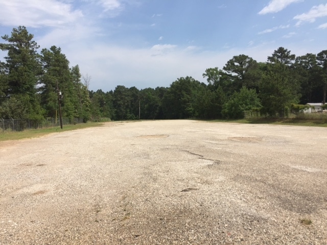
Property Detail
4935 Whitehurst Dr
R000006026
ACRES: 15.620 ABST: 300 J HILL OFC
Officebuilding
HARRISON
A Areas with a 1% annual chance of flooding and a 26% chance of flooding over the life of a 30-year mortgage.
Texas
2024
15.62 AC
2025
Longview
020603
Other Market Areas
20,432 SF
Longview, TX
NEARBY LISTINGS FOR SALE OR LEASE
-
-
View all Longview listings for lease on LoopNet.com
DEMOGRAPHICS near 4935 Whitehurst Dr
1 mile
3 mile
5 mile
2025 Total Population
950
5,549
26,028
2030 Population
966
5,618
26,640
Pop Growth 2025-2030
+ 1.68%
+ 1.24%
+ 2.35%
Average Age
38
38
37
2025 Total Households
328
2,003
9,239
HH Growth 2025-2030
+ 2.13%
+ 1.45%
+ 2.48%
Median Household Inc
$87,000
$72,226
$61,884
Avg Household Size
2.80
2.70
2.60
2025 Avg HH Vehicles
2.00
2.00
2.00
Median Home Value
$306,780
$297,066
$185,285
Median Year Built
2001
1996
1985
Nearby Places
Map Layers
Map Styles
 Street
 Aerial
Layers
 Traffic
 Biking
Places
Listings with unknown addresses are not visible on the map
- Restaurants
- Banks
- Shops
- Fitness
- Groceries
PUBLIC TRANSPORTATION
COMMUTER RAIL
Longview (Texas Eagle - Amtrak)
Drive
Walk
Distance
Longview (Texas Eagle - Amtrak)
11 min
6.3 mi
Freight Ports
Port of Shreveport
Drive
Walk
Distance
Port of Shreveport
80 min
67.4 mi
SALE & LEASE HISTORY
LISTING DATE
SALE/LEASE

May 23, 2017
For Lease
May 23, 2017
For Sale
Jan 30, 2023
For Lease
Jan 30, 2023
For Sale
Nearby Properties
Address
Land Use
TOTAL SIZE
Lot Size
Zoning
Address
Land Use
TOTAL SIZE
Lot Size
Zoning
450,100 SF
34.15 AC
Address
Land Use
TOTAL SIZE
Lot Size
Zoning
57,597 SF
16.67 AC
Address
Land Use
TOTAL SIZE
Lot Size
Zoning
26,984 SF
8.62 AC
Address
Land Use
TOTAL SIZE
Lot Size
Zoning
1,054 SF
24.78 AC
Address
Land Use
TOTAL SIZE
Lot Size
Zoning
9,456 SF
6.74 AC
Address
Land Use
TOTAL SIZE
Lot Size
Zoning
1,200 SF
5.36 AC
Address
Land Use
TOTAL SIZE
Lot Size
Zoning
26,006 SF
9.52 AC
Address
Land Use
TOTAL SIZE
Lot Size
Zoning
1,500 SF
24.78 AC
Address
Land Use
TOTAL SIZE
Lot Size
Zoning
6,000 SF
6.57 AC
Address
Land Use
TOTAL SIZE
Lot Size
Zoning
4,937 SF
34.36 AC
Address
Land Use
TOTAL SIZE
Lot Size
Zoning
64,720 SF
25.44 AC
Address
Land Use
TOTAL SIZE
Lot Size
Zoning
2,900 SF
2.94 AC
Address
Land Use
TOTAL SIZE
Lot Size
Zoning
24,500 SF
10 AC
Address
Land Use
TOTAL SIZE
Lot Size
Zoning
7,500 SF
6.62 AC
Address
Land Use
TOTAL SIZE
Lot Size
Zoning
7,200 SF
8.05 AC
Address
Land Use
TOTAL SIZE
Lot Size
Zoning
2,400 SF
6.89 AC
Address
Land Use
TOTAL SIZE
Lot Size
Zoning
3,909 SF
10 AC
Address
Land Use
TOTAL SIZE
Lot Size
Zoning
2,310 SF
8.30 AC
Address
Land Use
TOTAL SIZE
Lot Size
Zoning
3,600 SF
6.28 AC
Address
Land Use
TOTAL SIZE
Lot Size
Zoning
8,676 SF
9.78 AC
Address
Land Use
TOTAL SIZE
Lot Size
Zoning
100,440 SF
10.03 AC
Address
Land Use
TOTAL SIZE
Lot Size
Zoning
9,360 SF
1.01 AC
Address
Land Use
TOTAL SIZE
Lot Size
Zoning
2,300 SF
14.46 AC
Address
Land Use
TOTAL SIZE
Lot Size
Zoning
1,250 SF
4.66 AC
Address
Land Use
TOTAL SIZE
Lot Size
Zoning
12,592 SF
1.79 AC
Address
Land Use
TOTAL SIZE
Lot Size
Zoning
6,500 SF
444.84 AC
Address
Land Use
TOTAL SIZE
Lot Size
Zoning
18,938 SF
3 AC
Address
Land Use
TOTAL SIZE
Lot Size
Zoning
8,047 SF
1.26 AC
Address
Land Use
TOTAL SIZE
Lot Size
Zoning
10,000 SF
2.32 AC
The World's #1 Commercial Real Estate Marketplace
Connect with us
© 2026 CoStar Group
The information above has been obtained from sources believed reliable. While we do not doubt its accuracy we have not verified it and make no guarantee, warranty or representation about it. It is your responsibility to independently confirm its accuracy and completeness. Any projections, opinions, assumptions, or estimates used are for example only and do not represent the current or future performance of the property. The value of this transaction to you depends on tax and other factors which should be evaluated by your tax, financial, and legal advisors. You and your advisors should conduct a careful, independent investigation of the property to determine to your satisfaction the suitability of the property for your needs.