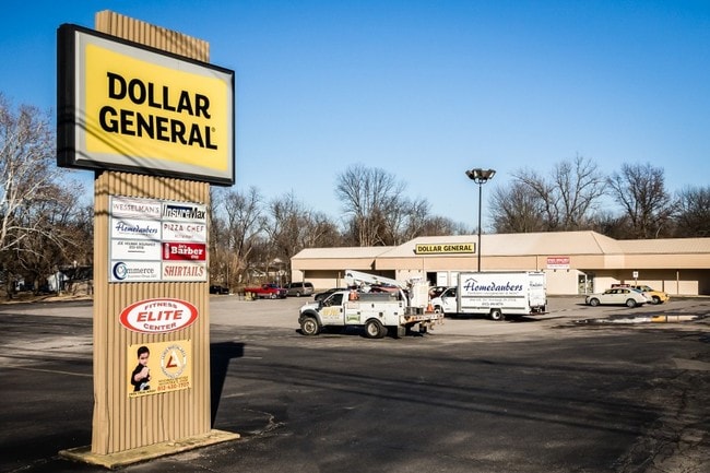
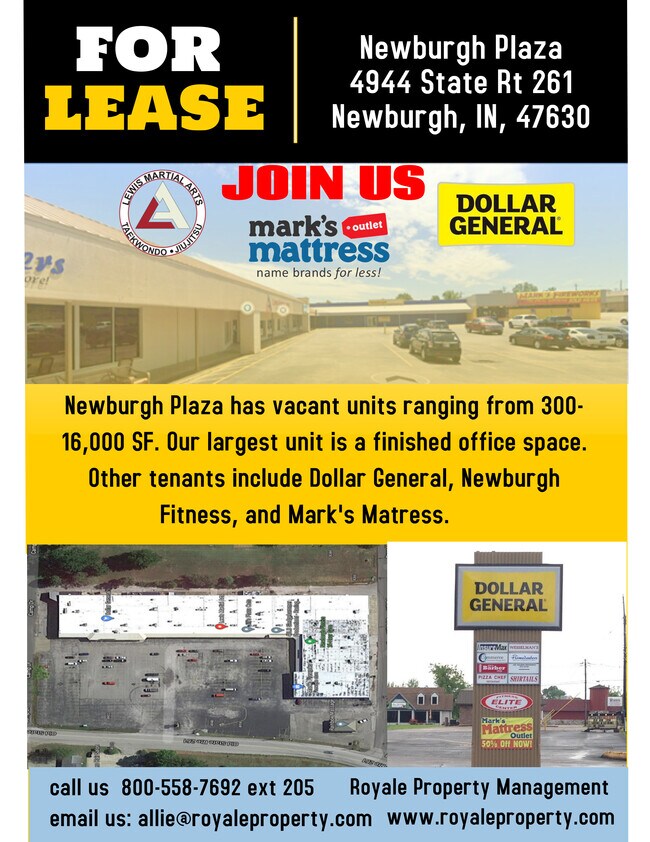
Property Record
4944 State Route 261, Newburgh, IN 47630

NEARBY LISTINGS FOR SALE OR LEASE
Property Detail
4944 State Route 261
87-12-27-415-001.000-019
North Minor Sub
Stripcommercialcenter
PT SE S27 T6 R9 .13 A
X
Warrick
21101C0110F
Indiana
2024
6.20 AC
2024
Warrick County
030703
Evansville
83,739 SF
Evansville, IN-KY
DEMOGRAPHICS near 4944 State Route 261
1 Mile
3 Mile
5 Mile
2024 Total Population
9,330
34,904
55,961
2029 Population
9,711
36,453
57,681
Pop Growth 2024-2029
+ 4.08%
+ 4.44%
+ 3.07%
Average Age
40
41
41
2024 Total Households
3,606
13,595
22,482
HH Growth 2024-2029
+ 4.08%
+ 4.44%
+ 2.91%
Median Household Inc
$87,308
$96,930
$85,613
Avg Household Size
2.50
2.50
2.40
2024 Avg HH Vehicles
2.00
2.00
2.00
Median Home Value
$211,333
$240,108
$221,787
Median Year Built
1980
1990
1987
Nearby Places
Map Layers
Map Styles
 Street
 Aerial
- Restaurants
- Banks
- Shops
- Fitness
- Groceries
PUBLIC TRANSPORTATION
AIRPORT
Evansville Regional
DRIVE
WALK
Distance
Evansville Regional
23 min
13.2 mi
Freight Ports
Port of Toledo
DRIVE
WALK
Distance
Port of Toledo
458 min
394.2 mi
SALE & LEASE HISTORY
LISTING DATE
SALE/LEASE

Sep 25, 2016
For Lease
Oct 26, 2016
For Lease
Nov 01, 2017
For Lease
Nov 01, 2017
For Lease
Mar 01, 2018
For Sale
Jul 03, 2017
For Lease
Nearby Properties
Address
Land Use
TOTAL SIZE
Lot Size
Zoning
Address
Land Use
TOTAL SIZE
Lot Size
Zoning
43,824 SF
32.02 AC
Address
Land Use
TOTAL SIZE
Lot Size
Zoning
6,110 SF
28.46 AC
Address
Land Use
TOTAL SIZE
Lot Size
Zoning
136,449 SF
14.07 AC
Address
Land Use
TOTAL SIZE
Lot Size
Zoning
130,000 SF
Address
Land Use
TOTAL SIZE
Lot Size
Zoning
75,107 SF
13.68 AC
Address
Land Use
TOTAL SIZE
Lot Size
Zoning
3,940 SF
17.67 AC
Address
Land Use
TOTAL SIZE
Lot Size
Zoning
30,039 SF
6.67 AC
Address
Land Use
TOTAL SIZE
Lot Size
Zoning
3,260 SF
9.96 AC
Address
Land Use
TOTAL SIZE
Lot Size
Zoning
31,950 SF
6.22 AC
Address
Land Use
TOTAL SIZE
Lot Size
Zoning
26,664 SF
10.81 AC
Address
Land Use
TOTAL SIZE
Lot Size
Zoning
49,154 SF
3.60 AC
Address
Land Use
TOTAL SIZE
Lot Size
Zoning
43,230 SF
7.08 AC
Address
Land Use
TOTAL SIZE
Lot Size
Zoning
4,389 SF
9.09 AC
Address
Land Use
TOTAL SIZE
Lot Size
Zoning
114,160 SF
11 AC
Address
Land Use
TOTAL SIZE
Lot Size
Zoning
45,431 SF
22.08 AC
Address
Land Use
TOTAL SIZE
Lot Size
Zoning
28,632 SF
6.27 AC
Address
Land Use
TOTAL SIZE
Lot Size
Zoning
130,978 SF
24.94 AC
Address
Land Use
TOTAL SIZE
Lot Size
Zoning
197,528 SF
21.55 AC
Address
Land Use
TOTAL SIZE
Lot Size
Zoning
61,299 SF
2.22 AC
Address
Land Use
TOTAL SIZE
Lot Size
Zoning
99,714 SF
5 AC
Address
Land Use
TOTAL SIZE
Lot Size
Zoning
32,117 SF
12.88 AC
Address
Land Use
TOTAL SIZE
Lot Size
Zoning
31,864 SF
5.40 AC
Address
Land Use
TOTAL SIZE
Lot Size
Zoning
62,912 SF
3.29 AC
Address
Land Use
TOTAL SIZE
Lot Size
Zoning
72,946 SF
2.64 AC
Address
Land Use
TOTAL SIZE
Lot Size
Zoning
90,181 SF
10.66 AC
Address
Land Use
TOTAL SIZE
Lot Size
Zoning
88,964 SF
8.72 AC
Address
Land Use
TOTAL SIZE
Lot Size
Zoning
28,632 SF
1.22 AC
Address
Land Use
TOTAL SIZE
Lot Size
Zoning
45,627 SF
5.89 AC
Address
Land Use
TOTAL SIZE
Lot Size
Zoning
15,784 SF
7.06 AC
Address
Land Use
TOTAL SIZE
Lot Size
Zoning
67,043 SF
4.44 AC
The World's #1 Commercial Real Estate Marketplace
Connect with us
© 2026 CoStar Group
The information above has been obtained from sources believed reliable. While we do not doubt its accuracy we have not verified it and make no guarantee, warranty or representation about it. It is your responsibility to independently confirm its accuracy and completeness. Any projections, opinions, assumptions, or estimates used are for example only and do not represent the current or future performance of the property. The value of this transaction to you depends on tax and other factors which should be evaluated by your tax, financial, and legal advisors. You and your advisors should conduct a careful, independent investigation of the property to determine to your satisfaction the suitability of the property for your needs.