Property Record
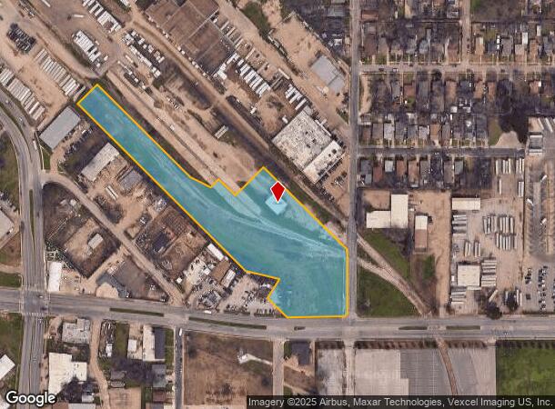
4947 Beeman Ave, Dallas, TX 75223

NEARBY LISTINGS FOR SALE OR LEASE
Property Detail
4947 Beeman Ave
00000167998000000
Bl N 1646 Tr 12
Warehouse
BLK 1646 TR 11 ACS 5.2014 INT20070391790 DD10262007 CO-DC 1646 000 001 1001646 000
X
Dallas
48113C0365K
Texas
2024
5.20 AC
2025
Central East Dallas
002500
Dallas/Ft Worth
3,250 SF
Dallas-Fort Worth-Arlington, TX
DEMOGRAPHICS near 4947 Beeman Ave
1 Mile
3 Mile
5 Mile
2024 Total Population
12,573
138,158
374,818
2029 Population
12,630
139,712
376,962
Pop Growth 2024-2029
+ 0.45%
+ 1.12%
+ 0.57%
Average Age
37
37
36
2024 Total Households
4,055
60,858
170,693
HH Growth 2024-2029
+ 0.39%
+ 1.33%
+ 0.77%
Median Household Inc
$45,545
$62,649
$69,172
Avg Household Size
2.90
2.20
2.10
2024 Avg HH Vehicles
2.00
1.00
2.00
Median Home Value
$137,253
$354,690
$360,573
Median Year Built
1960
1980
1986
Nearby Places
- Restaurants
- Banks
- Shops
- Fitness
- Groceries
PUBLIC TRANSPORTATION
COMMUTER RAIL
Victory Station (DART LIGHT RAIL - GREEN LINE - Dallas Area Rapid Transit (DART), DART LIGHT RAIL - ORANGE LINE - Dallas Area Rapid Transit (DART), TRINITY RAILWAY - Dallas Area Rapid Transit (DART))
DRIVE
WALK
Distance
Victory Station (DART LIGHT RAIL - GREEN LINE - Dallas Area Rapid Transit (DART), DART LIGHT RAIL - ORANGE LINE - Dallas Area Rapid Transit (DART), TRINITY RAILWAY - Dallas Area Rapid Transit (DART))
9 min
4.8 mi
Medical/Market Ctr Station (TRINITY RAILWAY - Dallas Area Rapid Transit (DART))
DRIVE
WALK
Distance
Medical/Market Ctr Station (TRINITY RAILWAY - Dallas Area Rapid Transit (DART))
13 min
6.7 mi
AIRPORT
Dallas Love Field
DRIVE
WALK
Distance
Dallas Love Field
17 min
8.1 mi
Dallas-Fort Worth International
DRIVE
WALK
Distance
Dallas-Fort Worth International
33 min
24.2 mi
Freight Ports
Port of Shreveport
DRIVE
WALK
Distance
Port of Shreveport
208 min
193.4 mi
Nearby Properties
Address
Land Use
TOTAL SIZE
Lot Size
Zoning
Address
Land Use
TOTAL SIZE
Lot Size
Zoning
1,848,034 SF
2.29 AC
Z21
Address
Land Use
TOTAL SIZE
Lot Size
Zoning
1,003,243 SF
2.07 AC
Z21
Address
Land Use
TOTAL SIZE
Lot Size
Zoning
763,340 SF
8.31 AC
Z165
Address
Land Use
TOTAL SIZE
Lot Size
Zoning
3,398,834 SF
13.45 AC
Z151
Address
Land Use
TOTAL SIZE
Lot Size
Zoning
659,884 SF
5.77 AC
Z151
Address
Land Use
TOTAL SIZE
Lot Size
Zoning
432,919 SF
0.69 AC
Z21
Address
Land Use
TOTAL SIZE
Lot Size
Zoning
593,031 SF
4.66 AC
Address
Land Use
TOTAL SIZE
Lot Size
Zoning
1,979,594 SF
1.81 AC
Z21
Address
Land Use
TOTAL SIZE
Lot Size
Zoning
799,449 SF
Z239
Address
Land Use
TOTAL SIZE
Lot Size
Zoning
644,416 SF
1.26 AC
Z239
Address
Land Use
TOTAL SIZE
Lot Size
Zoning
741,673 SF
1.30 AC
Z21
Address
Land Use
TOTAL SIZE
Lot Size
Zoning
668,282 SF
1.94 AC
Z22
Address
Land Use
TOTAL SIZE
Lot Size
Zoning
583,186 SF
4.54 AC
Z239
Address
Land Use
TOTAL SIZE
Lot Size
Zoning
357,160 SF
0.70 AC
Z21
Address
Land Use
TOTAL SIZE
Lot Size
Zoning
661,775 SF
12.55 AC
Z151
Address
Land Use
TOTAL SIZE
Lot Size
Zoning
372,564 SF
13.34 AC
Z164
Address
Land Use
TOTAL SIZE
Lot Size
Zoning
529,666 SF
1.21 AC
Z239
Address
Land Use
TOTAL SIZE
Lot Size
Zoning
546,990 SF
3.94 AC
Z239
Address
Land Use
TOTAL SIZE
Lot Size
Zoning
743,945 SF
3.54 AC
Z239
Address
Land Use
TOTAL SIZE
Lot Size
Zoning
608,242 SF
1.29 AC
Z239
Address
Land Use
TOTAL SIZE
Lot Size
Zoning
479,689 SF
0.78 AC
Z239
Address
Land Use
TOTAL SIZE
Lot Size
Zoning
671,580 SF
3.87 AC
Z239
Address
Land Use
TOTAL SIZE
Lot Size
Zoning
452,834 SF
2.76 AC
Z21
Address
Land Use
TOTAL SIZE
Lot Size
Zoning
32,530 SF
0.02 AC
Z239
Address
Land Use
TOTAL SIZE
Lot Size
Zoning
571,231 SF
4.46 AC
Z164
Address
Land Use
TOTAL SIZE
Lot Size
Zoning
6,362,804 SF
5.65 AC
Z21
Address
Land Use
TOTAL SIZE
Lot Size
Zoning
307,756 SF
0.11 AC
Z151
Address
Land Use
TOTAL SIZE
Lot Size
Zoning
458,874 SF
4.71 AC
Z239
Address
Land Use
TOTAL SIZE
Lot Size
Zoning
512,824 SF
0.47 AC
Z21
Address
Land Use
TOTAL SIZE
Lot Size
Zoning
521,757 SF
3.85 AC
Z239
The World's #1 Commercial Real Estate Marketplace
Connect with us
© 2025 CoStar Group
The information above has been obtained from sources believed reliable. While we do not doubt its accuracy we have not verified it and make no guarantee, warranty or representation about it. It is your responsibility to independently confirm its accuracy and completeness. Any projections, opinions, assumptions, or estimates used are for example only and do not represent the current or future performance of the property. The value of this transaction to you depends on tax and other factors which should be evaluated by your tax, financial, and legal advisors. You and your advisors should conduct a careful, independent investigation of the property to determine to your satisfaction the suitability of the property for your needs.