Property Record
495 E 800 N, Hurricane, UT 84737


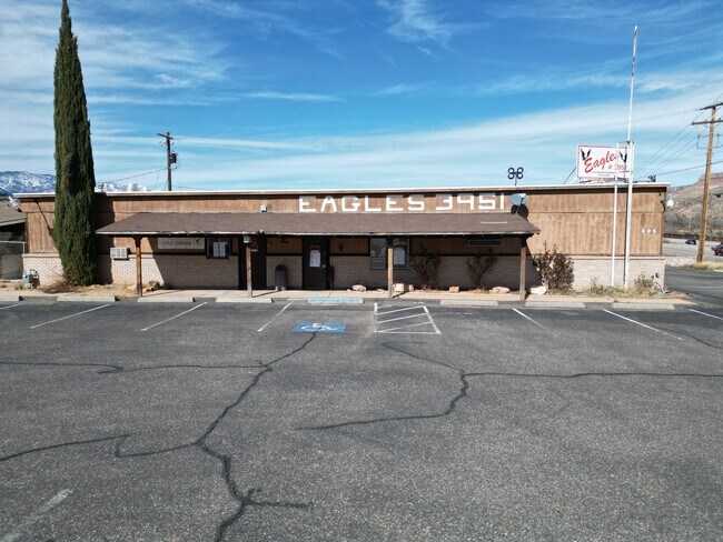
Property Detail
495 E 800 N
0550312
S: 26 T: 41S R: 13W BEG S 89*4330 E ALG 1/16 SEC/L 1025.88 FT FM NW COR SW1/4 SE1/4 SEC 26 T41S R13W TH S 89*4330 E 172.57 FT TO PT 2089.35 FT RAD CUR ON WLY R/W LN HWY U-9; TH SWLY ALG ARC SD CUR RGT (CTR BEARS N 66*4822 W) 232.11 FT; TH N 89*4330 W
Commercialnec
WASHINGTON
M-1
Utah
B and X Area of moderate flood hazard, usually the area between the limits of the 100-year and 500-year floods.
0.35 AC
2024
Cedar City & St George
2025
Other Market Areas
270903
St. George, UT
5,360 SF
NEARBY LISTINGS FOR SALE OR LEASE
DEMOGRAPHICS near 495 E 800 N
1 mile
3 mile
5 mile
2025 Total Population
4,423
16,004
21,906
2030 Population
4,778
17,329
23,807
Pop Growth 2025-2030
+ 8.03%
+ 8.28%
+ 8.68%
Average Age
37
39
40
2025 Total Households
1,395
5,167
7,350
HH Growth 2025-2030
+ 8.32%
+ 8.61%
+ 9.05%
Median Household Inc
$59,559
$73,424
$74,340
Avg Household Size
3.10
3.00
2.90
2025 Avg HH Vehicles
2.00
2.00
2.00
Median Home Value
$401,026
$462,928
$473,927
Median Year Built
1992
1998
2001
Nearby Places
Map Layers
Map Styles
 Street
 Aerial
Transit
 Traffic
 Biking
Places
Listings with unknown addresses are not visible on the map
- Restaurants
- Banks
- Shops
- Fitness
- Groceries
PUBLIC TRANSPORTATION
AIRPORT
St George Regional
Drive
Walk
Distance
St George Regional
33 min
21.4 mi
SALE & LEASE HISTORY
LISTING DATE
SALE/LEASE

Sep 30, 2024
For Sale
Nearby Properties
Address
Land Use
TOTAL SIZE
Lot Size
Zoning
Address
Land Use
TOTAL SIZE
Lot Size
Zoning
48,529 SF
26.71 AC
M1
Address
Land Use
TOTAL SIZE
Lot Size
Zoning
93,494 SF
23.97 AC
PF
Address
Land Use
TOTAL SIZE
Lot Size
Zoning
70,194 SF
2.79 AC
Address
Land Use
TOTAL SIZE
Lot Size
Zoning
55,676 SF
8.90 AC
PF
Address
Land Use
TOTAL SIZE
Lot Size
Zoning
50,591 SF
2.27 AC
Address
Land Use
TOTAL SIZE
Lot Size
Zoning
57,202 SF
2.50 AC
Address
Land Use
TOTAL SIZE
Lot Size
Zoning
48,863 SF
1.72 AC
HC
Address
Land Use
TOTAL SIZE
Lot Size
Zoning
13,516 SF
11.45 AC
Address
Land Use
TOTAL SIZE
Lot Size
Zoning
38,940 SF
1.03 AC
Address
Land Use
TOTAL SIZE
Lot Size
Zoning
40,650 SF
2.99 AC
Address
Land Use
TOTAL SIZE
Lot Size
Zoning
1,155 SF
68.88 AC
APO
Address
Land Use
TOTAL SIZE
Lot Size
Zoning
20,139 SF
6.46 AC
HC
Address
Land Use
TOTAL SIZE
Lot Size
Zoning
30,643 SF
26.13 AC
PDO
Address
Land Use
TOTAL SIZE
Lot Size
Zoning
33,657 SF
12.90 AC
Address
Land Use
TOTAL SIZE
Lot Size
Zoning
134,714 SF
14.80 AC
M-1
Address
Land Use
TOTAL SIZE
Lot Size
Zoning
42,267 SF
3.09 AC
HC
Address
Land Use
TOTAL SIZE
Lot Size
Zoning
22,080 SF
6.82 AC
HC
Address
Land Use
TOTAL SIZE
Lot Size
Zoning
30,519 SF
5.76 AC
HC
Address
Land Use
TOTAL SIZE
Lot Size
Zoning
22,576 SF
5.35 AC
Address
Land Use
TOTAL SIZE
Lot Size
Zoning
23,586 SF
3.52 AC
HC
Address
Land Use
TOTAL SIZE
Lot Size
Zoning
48,990 SF
24.69 AC
PF
Address
Land Use
TOTAL SIZE
Lot Size
Zoning
34,486 SF
3.03 AC
HC
Address
Land Use
TOTAL SIZE
Lot Size
Zoning
41,124 SF
4.83 AC
Address
Land Use
TOTAL SIZE
Lot Size
Zoning
14,739 SF
1.48 AC
HC
Address
Land Use
TOTAL SIZE
Lot Size
Zoning
31,760 SF
2.17 AC
HC
Address
Land Use
TOTAL SIZE
Lot Size
Zoning
78,220 SF
3.54 AC
M1
Address
Land Use
TOTAL SIZE
Lot Size
Zoning
25,105 SF
2.97 AC
Address
Land Use
TOTAL SIZE
Lot Size
Zoning
22,435 SF
0.74 AC
HC
Address
Land Use
TOTAL SIZE
Lot Size
Zoning
10,930 SF
4.22 AC
HC
Address
Land Use
TOTAL SIZE
Lot Size
Zoning
16,567 SF
3.92 AC
RA05
The World's #1 Commercial Real Estate Marketplace
Connect with us
© 2026 CoStar Group
The information above has been obtained from sources believed reliable. While we do not doubt its accuracy we have not verified it and make no guarantee, warranty or representation about it. It is your responsibility to independently confirm its accuracy and completeness. Any projections, opinions, assumptions, or estimates used are for example only and do not represent the current or future performance of the property. The value of this transaction to you depends on tax and other factors which should be evaluated by your tax, financial, and legal advisors. You and your advisors should conduct a careful, independent investigation of the property to determine to your satisfaction the suitability of the property for your needs.