Property Record
4920 S Fort Apache Rd, Las Vegas, NV 89148

NEARBY LISTINGS FOR SALE OR LEASE
Property Detail
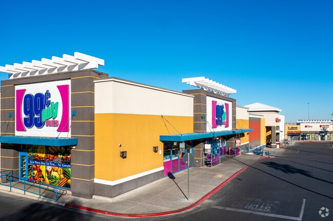
4920 S Fort Apache Rd
Las Vegas-Henderson-Paradise, NV
Sec Tropicana Avenue Fort Apache Road-Ph
163-29-110-006
SEC TROPICANA AVENUE FORT APACHE ROAD-PHASE 1 PLAT BOOK 104 PAGE 83 PT LOT 1
Storebuilding
Clark
X
Nevada
32003C2535F
1
2025
8.22 AC
2025
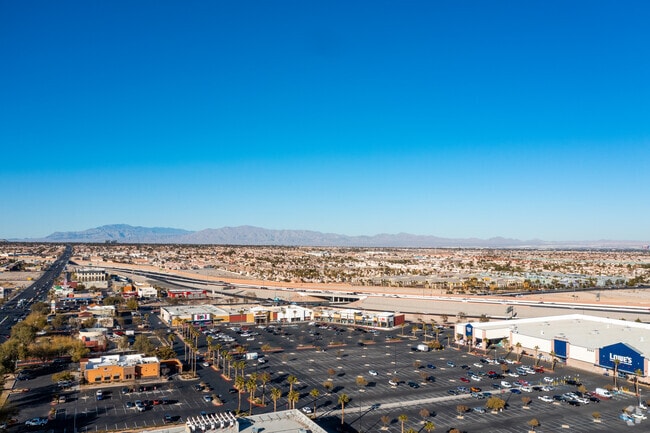
Southwest Las Vegas
005864
Las Vegas
70,525 SF
DEMOGRAPHICS near 4920 S Fort Apache Rd
1 Mile
3 Mile
5 Mile
2024 Total Population
24,154
164,563
339,522
2029 Population
26,071
177,399
365,722
Pop Growth 2024-2029
+ 7.94%
+ 7.80%
+ 7.72%
Average Age
39
41
41
2024 Total Households
9,938
65,465
136,611
HH Growth 2024-2029
+ 7.99%
+ 7.78%
+ 7.65%
Median Household Inc
$78,248
$72,879
$69,364
Avg Household Size
2.40
2.50
2.40
2024 Avg HH Vehicles
2.00
2.00
2.00
Median Home Value
$393,623
$404,068
$409,497
Median Year Built
2005
2001
1998
Nearby Places
Map Layers
Map Styles
 Street
 Aerial
- Restaurants
- Banks
- Shops
- Fitness
- Groceries
PUBLIC TRANSPORTATION
AIRPORT
Harry Reid International
DRIVE
WALK
Distance
Harry Reid International
16 min
12.3 mi
Boulder City Municipal
DRIVE
WALK
Distance
Boulder City Municipal
41 min
32.0 mi
Freight Ports
Port of Long Beach
DRIVE
WALK
Distance
Port of Long Beach
318 min
283.9 mi
Nearby Properties
Address
Land Use
TOTAL SIZE
Lot Size
Zoning
Address
Land Use
TOTAL SIZE
Lot Size
Zoning
552,417 SF
49.39 AC
H1
Address
Land Use
TOTAL SIZE
Lot Size
Zoning
190,129 SF
36.24 AC
C1
Address
Land Use
TOTAL SIZE
Lot Size
Zoning
174,108 SF
52.16 AC
RU
Address
Land Use
TOTAL SIZE
Lot Size
Zoning
466,224 SF
11.85 AC
C:C-2
Address
Land Use
TOTAL SIZE
Lot Size
Zoning
9,279 SF
24.36 AC
Address
Land Use
TOTAL SIZE
Lot Size
Zoning
40 AC
PF
Address
Land Use
TOTAL SIZE
Lot Size
Zoning
349,295 SF
25.97 AC
Address
Land Use
TOTAL SIZE
Lot Size
Zoning
8,754 SF
17.14 AC
C2
Address
Land Use
TOTAL SIZE
Lot Size
Zoning
504,632 SF
6.25 AC
Address
Land Use
TOTAL SIZE
Lot Size
Zoning
4,542 SF
18.72 AC
Address
Land Use
TOTAL SIZE
Lot Size
Zoning
151,243 SF
22.93 AC
Address
Land Use
TOTAL SIZE
Lot Size
Zoning
Address
Land Use
TOTAL SIZE
Lot Size
Zoning
401,023 SF
17.61 AC
R-3
Address
Land Use
TOTAL SIZE
Lot Size
Zoning
Address
Land Use
TOTAL SIZE
Lot Size
Zoning
18.62 AC
PF
Address
Land Use
TOTAL SIZE
Lot Size
Zoning
396,742 SF
17.10 AC
Address
Land Use
TOTAL SIZE
Lot Size
Zoning
Address
Land Use
TOTAL SIZE
Lot Size
Zoning
33.24 AC
C1
Address
Land Use
TOTAL SIZE
Lot Size
Zoning
1,961 SF
4.34 AC
Address
Land Use
TOTAL SIZE
Lot Size
Zoning
4,446 SF
16.17 AC
Address
Land Use
TOTAL SIZE
Lot Size
Zoning
5,374 SF
12.36 AC
Address
Land Use
TOTAL SIZE
Lot Size
Zoning
43,264 SF
3.56 AC
Address
Land Use
TOTAL SIZE
Lot Size
Zoning
322,127 SF
9.32 AC
Address
Land Use
TOTAL SIZE
Lot Size
Zoning
7,302 SF
9.21 AC
Address
Land Use
TOTAL SIZE
Lot Size
Zoning
4,382 SF
13.65 AC
C2
Address
Land Use
TOTAL SIZE
Lot Size
Zoning
485,241 SF
13.77 AC
R3
Address
Land Use
TOTAL SIZE
Lot Size
Zoning
230,530 SF
15.20 AC
Address
Land Use
TOTAL SIZE
Lot Size
Zoning
11,942 SF
17.01 AC
R3
Address
Land Use
TOTAL SIZE
Lot Size
Zoning
21.17 AC
PF
Address
Land Use
TOTAL SIZE
Lot Size
Zoning
310,672 SF
8.84 AC
The World's #1 Commercial Real Estate Marketplace
Connect with us
© 2025 CoStar Group
The information above has been obtained from sources believed reliable. While we do not doubt its accuracy we have not verified it and make no guarantee, warranty or representation about it. It is your responsibility to independently confirm its accuracy and completeness. Any projections, opinions, assumptions, or estimates used are for example only and do not represent the current or future performance of the property. The value of this transaction to you depends on tax and other factors which should be evaluated by your tax, financial, and legal advisors. You and your advisors should conduct a careful, independent investigation of the property to determine to your satisfaction the suitability of the property for your needs.