Property Record
49620 Hayes Rd, Macomb, MI 48044


Property Detail
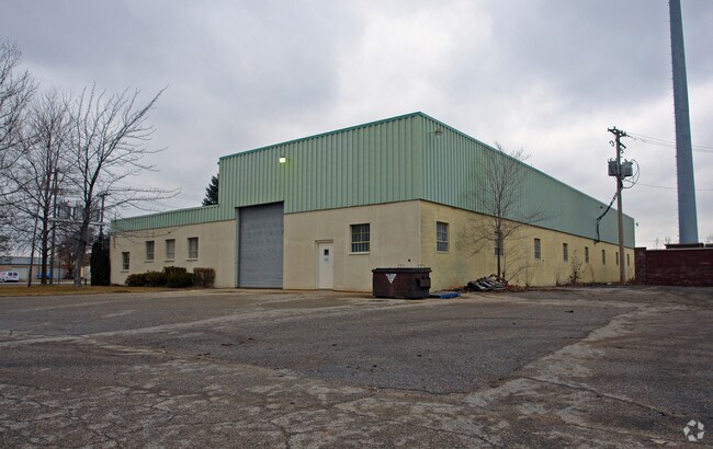
49620 Hayes Rd
20-08-19-300-021
T3N R13E SEC 19; COMM AT W 1/4 POST OF SEC 19; TH SOUTH 582.0 FT TO POB; TH N89*58'20"E 303.71 FT, TH SOUTH 465.0 FT, TH WEST
Lightindustrial
Macomb
M1
Michigan
B and X Area of moderate flood hazard, usually the area between the limits of the 100-year and 500-year floods.
2.60 AC
2025
Groesbeck North
2025
Detroit
224001
Detroit-Warren-Dearborn, MI
13,120 SF
NEARBY LISTINGS FOR SALE OR LEASE
DEMOGRAPHICS near 49620 Hayes Rd
1 mile
3 mile
5 mile
2025 Total Population
9,666
86,461
217,098
2030 Population
9,687
86,851
219,202
Pop Growth 2025-2030
+ 0.22%
+ 0.45%
+ 0.97%
Average Age
43
43
42
2025 Total Households
3,694
32,124
83,932
HH Growth 2025-2030
(0.35%)
+ 0.33%
+ 0.94%
Median Household Inc
$96,707
$101,884
$94,351
Avg Household Size
2.60
2.60
2.50
2025 Avg HH Vehicles
2.00
2.00
2.00
Median Home Value
$313,545
$354,773
$331,804
Median Year Built
1991
1994
1992
Nearby Places
Map Layers
Map Styles
 Street
 Aerial
Layers
 Traffic
 Biking
Places
Listings with unknown addresses are not visible on the map
- Restaurants
- Banks
- Shops
- Fitness
- Groceries
PUBLIC TRANSPORTATION
AIRPORT
Windsor International
Drive
Walk
Distance
Windsor International
67 min
40.3 mi
Freight Ports
Port of Toledo
Drive
Walk
Distance
Port of Toledo
117 min
90.8 mi
Nearby Properties
Address
Land Use
TOTAL SIZE
Lot Size
Zoning
Address
Land Use
TOTAL SIZE
Lot Size
Zoning
426,076 SF
42.79 AC
B-4
Address
Land Use
TOTAL SIZE
Lot Size
Zoning
20,560 SF
37.09 AC
R2
Address
Land Use
TOTAL SIZE
Lot Size
Zoning
447,434 SF
23.29 AC
LM
Address
Land Use
TOTAL SIZE
Lot Size
Zoning
366,656 SF
30.08 AC
RM-2
Address
Land Use
TOTAL SIZE
Lot Size
Zoning
371,520 SF
21.91 AC
CK MAP
Address
Land Use
TOTAL SIZE
Lot Size
Zoning
438,578 SF
36.60 AC
MXD
Address
Land Use
TOTAL SIZE
Lot Size
Zoning
89,559 SF
44.54 AC
O2
Address
Land Use
TOTAL SIZE
Lot Size
Zoning
15.94 AC
RMH
Address
Land Use
TOTAL SIZE
Lot Size
Zoning
118,343 SF
7.33 AC
R1
Address
Land Use
TOTAL SIZE
Lot Size
Zoning
10.29 AC
LM
Address
Land Use
TOTAL SIZE
Lot Size
Zoning
237,108 SF
10.30 AC
R-12
Address
Land Use
TOTAL SIZE
Lot Size
Zoning
90,185 SF
14.73 AC
C2
Address
Land Use
TOTAL SIZE
Lot Size
Zoning
224,323 SF
22.15 AC
C-3
Address
Land Use
TOTAL SIZE
Lot Size
Zoning
17.40 AC
CK MAP
Address
Land Use
TOTAL SIZE
Lot Size
Zoning
73.49 AC
CK MAP
Address
Land Use
TOTAL SIZE
Lot Size
Zoning
50,577 SF
21.43 AC
C-2
Address
Land Use
TOTAL SIZE
Lot Size
Zoning
176,212 SF
16.46 AC
MXD
Address
Land Use
TOTAL SIZE
Lot Size
Zoning
45,000 SF
7.58 AC
B-4
Address
Land Use
TOTAL SIZE
Lot Size
Zoning
79,942 SF
4.65 AC
M1
Address
Land Use
TOTAL SIZE
Lot Size
Zoning
146,106 SF
6.03 AC
RM-2
Address
Land Use
TOTAL SIZE
Lot Size
Zoning
120,658 SF
13.97 AC
C-3
Address
Land Use
TOTAL SIZE
Lot Size
Zoning
233,584 SF
26.03 AC
C-3
Address
Land Use
TOTAL SIZE
Lot Size
Zoning
171,634 SF
3.90 AC
RM-2
Address
Land Use
TOTAL SIZE
Lot Size
Zoning
94,332 SF
3.47 AC
B-3
Address
Land Use
TOTAL SIZE
Lot Size
Zoning
118,581 SF
15.17 AC
R-5
Address
Land Use
TOTAL SIZE
Lot Size
Zoning
133,173 SF
8 AC
O-3
Address
Land Use
TOTAL SIZE
Lot Size
Zoning
128,086 SF
4.20 AC
C-2
Address
Land Use
TOTAL SIZE
Lot Size
Zoning
56,470 SF
8.09 AC
MXD
Address
Land Use
TOTAL SIZE
Lot Size
Zoning
21,992 SF
16.24 AC
R-3
Address
Land Use
TOTAL SIZE
Lot Size
Zoning
121,156 SF
9.40 AC
CK MAP
The World's #1 Commercial Real Estate Marketplace
Connect with us
© 2026 CoStar Group
The information above has been obtained from sources believed reliable. While we do not doubt its accuracy we have not verified it and make no guarantee, warranty or representation about it. It is your responsibility to independently confirm its accuracy and completeness. Any projections, opinions, assumptions, or estimates used are for example only and do not represent the current or future performance of the property. The value of this transaction to you depends on tax and other factors which should be evaluated by your tax, financial, and legal advisors. You and your advisors should conduct a careful, independent investigation of the property to determine to your satisfaction the suitability of the property for your needs.