Property Record
4994 X W Lake Rd, , TX
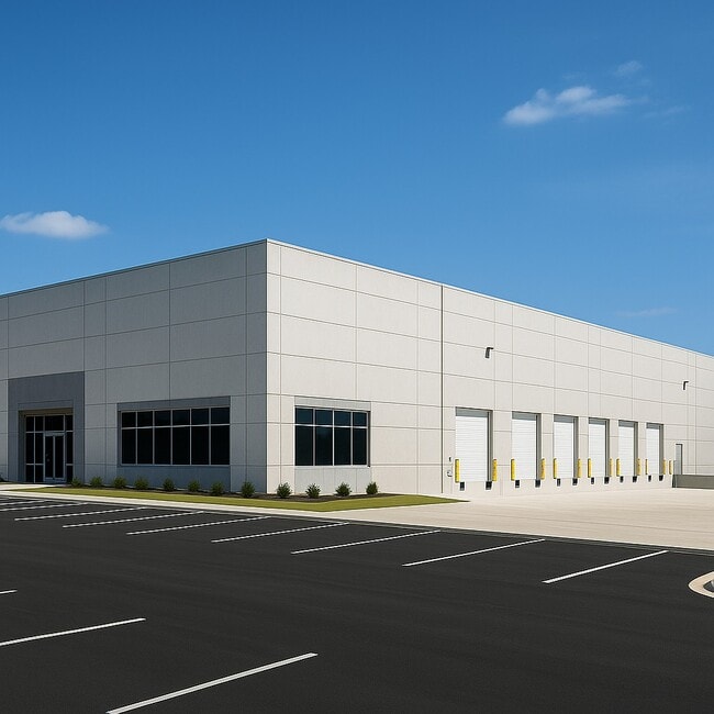

Property Detail
4994 X W Lake Rd
981218
A1381 SUR 81 EPHRAIM ANDERSON, ACRES 27.91
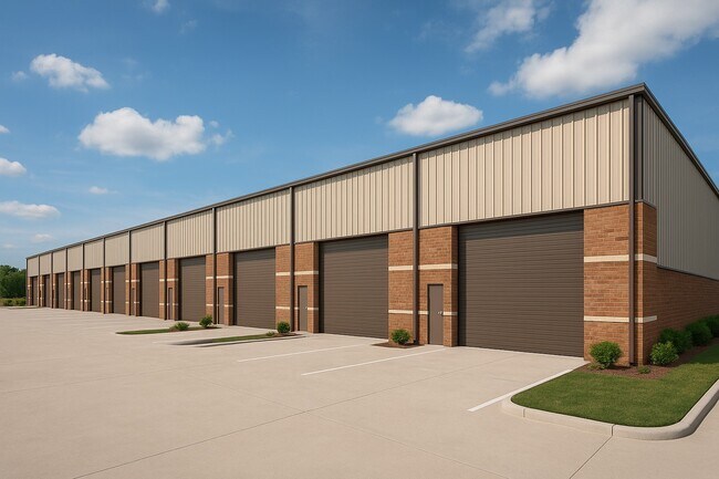
Multipleuses
TAYLOR
AE The base floodplain where base flood elevations are provided. AE Zones are now used on new format FIRMs instead of A1-A30 Zones.
Texas
2024
27.91 AC
2025
North Abilene
010900
Other Market Areas
468 SF
Abilene, TX
NEARBY LISTINGS FOR SALE OR LEASE
-
-
View all listings for lease on LoopNet.com
DEMOGRAPHICS near 4994 X W Lake Rd
1 mile
3 mile
5 mile
2025 Total Population
203
10,948
44,458
2030 Population
213
11,444
46,101
Pop Growth 2025-2030
+ 4.93%
+ 4.53%
+ 3.70%
Average Age
41
35
36
2025 Total Households
74
4,009
16,509
HH Growth 2025-2030
+ 4.05%
+ 4.76%
+ 3.94%
Median Household Inc
$102,941
$50,726
$51,508
Avg Household Size
2.40
2.40
2.40
2025 Avg HH Vehicles
3.00
2.00
2.00
Median Home Value
$299,999
$173,721
$136,697
Median Year Built
1990
1983
1965
Nearby Places
Map Layers
Map Styles
 Street
 Aerial
Layers
 Traffic
 Biking
Places
Listings with unknown addresses are not visible on the map
- Restaurants
- Banks
- Shops
- Fitness
- Groceries
PUBLIC TRANSPORTATION
AIRPORT
Abilene Regional
Drive
Walk
Distance
Abilene Regional
15 min
8.9 mi
Freight Ports
Calhoun Port
Drive
Walk
Distance
Calhoun Port
444 min
382.3 mi
SALE & LEASE HISTORY
LISTING DATE
SALE/LEASE

Jun 02, 2025
For Lease
Nearby Properties
Address
Land Use
TOTAL SIZE
Lot Size
Zoning
Address
Land Use
TOTAL SIZE
Lot Size
Zoning
959,214 SF
94.96 AC
Address
Land Use
TOTAL SIZE
Lot Size
Zoning
24.36 AC
Address
Land Use
TOTAL SIZE
Lot Size
Zoning
325,355 SF
9.83 AC
Address
Land Use
TOTAL SIZE
Lot Size
Zoning
141,777 SF
36.78 AC
Address
Land Use
TOTAL SIZE
Lot Size
Zoning
212,450 SF
9.43 AC
Address
Land Use
TOTAL SIZE
Lot Size
Zoning
728,862 SF
102.37 AC
Address
Land Use
TOTAL SIZE
Lot Size
Zoning
144,349 SF
11.07 AC
Address
Land Use
TOTAL SIZE
Lot Size
Zoning
229,988 SF
9.22 AC
Address
Land Use
TOTAL SIZE
Lot Size
Zoning
75,482 SF
137.60 AC
Address
Land Use
TOTAL SIZE
Lot Size
Zoning
209,580 SF
20.94 AC
Address
Land Use
TOTAL SIZE
Lot Size
Zoning
77,187 SF
3.58 AC
Address
Land Use
TOTAL SIZE
Lot Size
Zoning
30,455 SF
5.41 AC
Address
Land Use
TOTAL SIZE
Lot Size
Zoning
76,998 SF
24.63 AC
Address
Land Use
TOTAL SIZE
Lot Size
Zoning
41,674 SF
11.72 AC
Address
Land Use
TOTAL SIZE
Lot Size
Zoning
82,414 SF
18.05 AC
Address
Land Use
TOTAL SIZE
Lot Size
Zoning
50,128 SF
2.50 AC
Address
Land Use
TOTAL SIZE
Lot Size
Zoning
31,813 SF
12.01 AC
Address
Land Use
TOTAL SIZE
Lot Size
Zoning
34,557 SF
20.37 AC
Address
Land Use
TOTAL SIZE
Lot Size
Zoning
235,298 SF
31.46 AC
Address
Land Use
TOTAL SIZE
Lot Size
Zoning
60,197 SF
7.98 AC
Address
Land Use
TOTAL SIZE
Lot Size
Zoning
17,915 SF
2.81 AC
Address
Land Use
TOTAL SIZE
Lot Size
Zoning
147,762 SF
27.72 AC
Address
Land Use
TOTAL SIZE
Lot Size
Zoning
77,047 SF
3.45 AC
Address
Land Use
TOTAL SIZE
Lot Size
Zoning
33,662 SF
2.67 AC
Address
Land Use
TOTAL SIZE
Lot Size
Zoning
2.33 AC
Address
Land Use
TOTAL SIZE
Lot Size
Zoning
42,810 SF
5.32 AC
Address
Land Use
TOTAL SIZE
Lot Size
Zoning
26,000 SF
0.50 AC
Address
Land Use
TOTAL SIZE
Lot Size
Zoning
30,640 SF
3.64 AC
Address
Land Use
TOTAL SIZE
Lot Size
Zoning
11,408 SF
7.81 AC
Address
Land Use
TOTAL SIZE
Lot Size
Zoning
14,005 SF
174 AC
The World's #1 Commercial Real Estate Marketplace
Connect with us
© 2026 CoStar Group
The information above has been obtained from sources believed reliable. While we do not doubt its accuracy we have not verified it and make no guarantee, warranty or representation about it. It is your responsibility to independently confirm its accuracy and completeness. Any projections, opinions, assumptions, or estimates used are for example only and do not represent the current or future performance of the property. The value of this transaction to you depends on tax and other factors which should be evaluated by your tax, financial, and legal advisors. You and your advisors should conduct a careful, independent investigation of the property to determine to your satisfaction the suitability of the property for your needs.