Property Record
5 Cely Rd, Easley, SC 29642
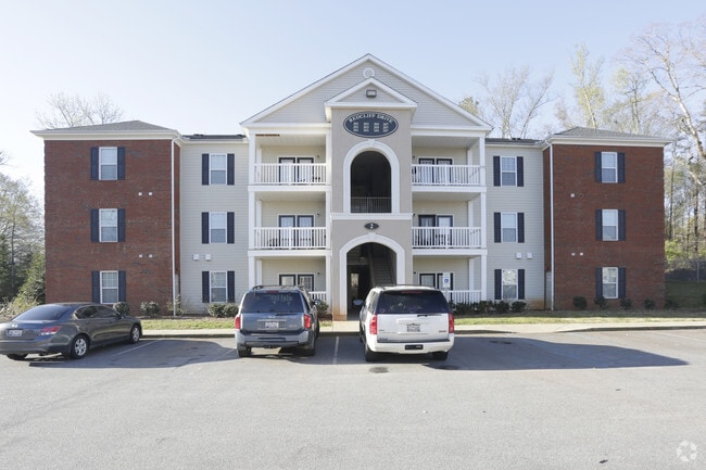
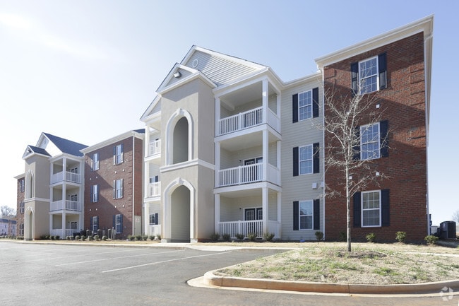
Property Detail
5 Cely Rd
237-00-04-001
CP S 2300/7 PP S 1279/7+8 F000 D000 PP 088/177 TR A CELY RD 16.53 AC
Clubslodgesprofessionalassociations
ANDERSON
B and X Area of moderate flood hazard, usually the area between the limits of the 100-year and 500-year floods.
South Carolina
2025
16.53 AC
2025
N Outlying Anderson County
010904
Greenville/Spartanburg
683 SF
Greenville-Anderson-Greer, SC
NEARBY LISTINGS FOR SALE OR LEASE
-
-
View all Easley listings for sale on LoopNet.com
DEMOGRAPHICS near 5 Cely Rd
1 mile
3 mile
5 mile
2025 Total Population
3,082
21,393
70,964
2030 Population
3,295
22,719
75,833
Pop Growth 2025-2030
+ 6.91%
+ 6.20%
+ 6.86%
Average Age
38
39
39
2025 Total Households
1,213
7,968
26,843
HH Growth 2025-2030
+ 7.17%
+ 6.48%
+ 7.12%
Median Household Inc
$68,124
$71,827
$64,250
Avg Household Size
2.50
2.60
2.60
2025 Avg HH Vehicles
2.00
2.00
2.00
Median Home Value
$390,322
$300,688
$256,553
Median Year Built
1998
1991
1986
Nearby Places
Map Layers
Map Styles
 Street
 Aerial
Layers
 Traffic
 Biking
Places
Listings with unknown addresses are not visible on the map
- Restaurants
- Banks
- Shops
- Fitness
- Groceries
PUBLIC TRANSPORTATION
COMMUTER RAIL
Greenville Amtrak Station (Crescent - Amtrak)
Drive
Walk
Distance
Greenville Amtrak Station (Crescent - Amtrak)
17 min
8.4 mi
AIRPORT
Greenville Spartanburg International
Drive
Walk
Distance
Greenville Spartanburg International
28 min
19.1 mi
Freight Ports
North Charleston Terminal
Drive
Walk
Distance
North Charleston Terminal
231 min
205.5 mi
Nearby Properties
Address
Land Use
TOTAL SIZE
Lot Size
Zoning
Address
Land Use
TOTAL SIZE
Lot Size
Zoning
152.21 AC
I1
Address
Land Use
TOTAL SIZE
Lot Size
Zoning
14 AC
S1
Address
Land Use
TOTAL SIZE
Lot Size
Zoning
30.96 AC
RM
Address
Land Use
TOTAL SIZE
Lot Size
Zoning
14 AC
I1
Address
Land Use
TOTAL SIZE
Lot Size
Zoning
86.32 AC
I1,RS
Address
Land Use
TOTAL SIZE
Lot Size
Zoning
90.23 AC
R75
Address
Land Use
TOTAL SIZE
Lot Size
Zoning
14,544 SF
22.61 AC
Address
Land Use
TOTAL SIZE
Lot Size
Zoning
18,334 SF
6.27 AC
Address
Land Use
TOTAL SIZE
Lot Size
Zoning
68,402 SF
4.32 AC
Address
Land Use
TOTAL SIZE
Lot Size
Zoning
45.18 AC
I1
Address
Land Use
TOTAL SIZE
Lot Size
Zoning
2.34 AC
I1
Address
Land Use
TOTAL SIZE
Lot Size
Zoning
13.10 AC
RM
Address
Land Use
TOTAL SIZE
Lot Size
Zoning
1,534 SF
19.06 AC
RS,I1
Address
Land Use
TOTAL SIZE
Lot Size
Zoning
65.30 AC
RS
Address
Land Use
TOTAL SIZE
Lot Size
Zoning
4,778 SF
10.45 AC
Address
Land Use
TOTAL SIZE
Lot Size
Zoning
0.65 AC
PD
Address
Land Use
TOTAL SIZE
Lot Size
Zoning
13.99 AC
Address
Land Use
TOTAL SIZE
Lot Size
Zoning
41.17 AC
I1
Address
Land Use
TOTAL SIZE
Lot Size
Zoning
72.10 AC
RS
Address
Land Use
TOTAL SIZE
Lot Size
Zoning
32.02 AC
RMA
Address
Land Use
TOTAL SIZE
Lot Size
Zoning
1,621 SF
50.70 AC
RS
Address
Land Use
TOTAL SIZE
Lot Size
Zoning
118.13 AC
I1
Address
Land Use
TOTAL SIZE
Lot Size
Zoning
150,809 SF
15.35 AC
Address
Land Use
TOTAL SIZE
Lot Size
Zoning
8.97 AC
S1
Address
Land Use
TOTAL SIZE
Lot Size
Zoning
70,058 SF
17.05 AC
Address
Land Use
TOTAL SIZE
Lot Size
Zoning
1.19 AC
S1
Address
Land Use
TOTAL SIZE
Lot Size
Zoning
1,108 SF
16.55 AC
RS
The World's #1 Commercial Real Estate Marketplace
Connect with us
© 2026 CoStar Group
The information above has been obtained from sources believed reliable. While we do not doubt its accuracy we have not verified it and make no guarantee, warranty or representation about it. It is your responsibility to independently confirm its accuracy and completeness. Any projections, opinions, assumptions, or estimates used are for example only and do not represent the current or future performance of the property. The value of this transaction to you depends on tax and other factors which should be evaluated by your tax, financial, and legal advisors. You and your advisors should conduct a careful, independent investigation of the property to determine to your satisfaction the suitability of the property for your needs.