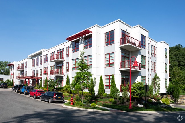
Property Record
5 Mill River Ln, Hastings On Hudson, NY 10706
NEARBY LISTINGS FOR SALE OR LEASE
Property Detail
5 Mill River Ln
2607-004-060-00046-000-0003-1
Westchester
Apartment
New York
AE
3.002
36119C0326F
2.71 AC
2025
Hastings-On-Hudson
2024
Westchester/So Connecticut
010200
New York-Jersey City-White Plains, NY-NJ
DEMOGRAPHICS near 5 Mill River Ln
1 Mile
3 Mile
5 Mile
2024 Total Population
7,726
90,334
307,233
2029 Population
7,522
88,509
301,469
Pop Growth 2024-2029
(2.64%)
(2.02%)
(1.88%)
Average Age
41
43
42
2024 Total Households
2,631
33,413
115,016
HH Growth 2024-2029
(2.89%)
(2.16%)
(1.97%)
Median Household Inc
$190,540
$139,392
$114,964
Avg Household Size
2.80
2.60
2.60
2024 Avg HH Vehicles
2.00
2.00
2.00
Median Home Value
$784,072
$667,071
$650,933
Median Year Built
1957
1957
1957
Nearby Places
- Restaurants
- Banks
- Shops
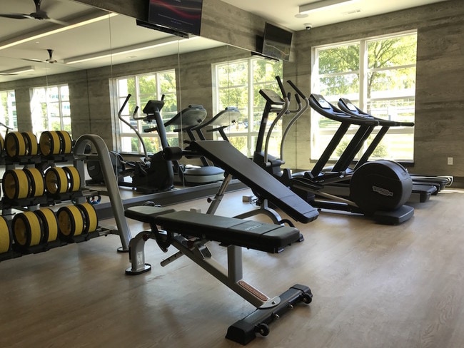
- Fitness
- Groceries
PUBLIC TRANSPORTATION
COMMUTER RAIL
Hastings-On-Hudson Station (Hudson Line - Metro-North Commuter Railroad Company (Metro-North))
DRIVE
WALK
Distance
Hastings-On-Hudson Station (Hudson Line - Metro-North Commuter Railroad Company (Metro-North))
5 min
2.3 mi
Dobbs Ferry Station (Hudson Line - Metro-North Commuter Railroad Company (Metro-North))
DRIVE
WALK
Distance
Dobbs Ferry Station (Hudson Line - Metro-North Commuter Railroad Company (Metro-North))
7 min
2.8 mi
AIRPORT
Westchester County
DRIVE
WALK
Distance
Westchester County
23 min
16.2 mi
LaGuardia
DRIVE
WALK
Distance
LaGuardia
32 min
20.5 mi
John F Kennedy International
DRIVE
WALK
Distance
John F Kennedy International
43 min
29.1 mi
Freight Ports
NY - Red Hook Container Terminal
DRIVE
WALK
Distance
NY - Red Hook Container Terminal
45 min
28.7 mi
Nearby Properties
Address
Land Use
TOTAL SIZE
Lot Size
Zoning
Address
Land Use
TOTAL SIZE
Lot Size
Zoning
88.45 AC
Address
Land Use
TOTAL SIZE
Lot Size
Zoning
229.55 AC
P
Address
Land Use
TOTAL SIZE
Lot Size
Zoning
63.48 AC
R-30
Address
Land Use
TOTAL SIZE
Lot Size
Zoning
2,736 SF
25.26 AC
Address
Land Use
TOTAL SIZE
Lot Size
Zoning
66 AC
R-20
Address
Land Use
TOTAL SIZE
Lot Size
Zoning
101.99 AC
Address
Land Use
TOTAL SIZE
Lot Size
Zoning
23.97 AC
Address
Land Use
TOTAL SIZE
Lot Size
Zoning
Address
Land Use
TOTAL SIZE
Lot Size
Zoning
13.22 AC
CA
Address
Land Use
TOTAL SIZE
Lot Size
Zoning
29.81 AC
Address
Land Use
TOTAL SIZE
Lot Size
Zoning
61.28 AC
Address
Land Use
TOTAL SIZE
Lot Size
Zoning
68,911 SF
16.31 AC
Address
Land Use
TOTAL SIZE
Lot Size
Zoning
97,600 SF
136.28 AC
R-40
Address
Land Use
TOTAL SIZE
Lot Size
Zoning
77.52 AC
A3
Address
Land Use
TOTAL SIZE
Lot Size
Zoning
29.35 AC
Address
Land Use
TOTAL SIZE
Lot Size
Zoning
11.68 AC
Address
Land Use
TOTAL SIZE
Lot Size
Zoning
Address
Land Use
TOTAL SIZE
Lot Size
Zoning
Address
Land Use
TOTAL SIZE
Lot Size
Zoning
8.42 AC
Address
Land Use
TOTAL SIZE
Lot Size
Zoning
Address
Land Use
TOTAL SIZE
Lot Size
Zoning
14.92 AC
Address
Land Use
TOTAL SIZE
Lot Size
Zoning
1.65 AC
Address
Land Use
TOTAL SIZE
Lot Size
Zoning
11.18 AC
Address
Land Use
TOTAL SIZE
Lot Size
Zoning
64.41 AC
R-20
Address
Land Use
TOTAL SIZE
Lot Size
Zoning
98,910 SF
0.91 AC
VCR-0
Address
Land Use
TOTAL SIZE
Lot Size
Zoning
18.72 AC
Address
Land Use
TOTAL SIZE
Lot Size
Zoning
28.77 AC
Address
Land Use
TOTAL SIZE
Lot Size
Zoning
14.31 AC
Address
Land Use
TOTAL SIZE
Lot Size
Zoning
9.75 AC
Address
Land Use
TOTAL SIZE
Lot Size
Zoning
125,000 SF
1.62 AC
The World's #1 Commercial Real Estate Marketplace
Connect with us
© 2025 CoStar Group
The information above has been obtained from sources believed reliable. While we do not doubt its accuracy we have not verified it and make no guarantee, warranty or representation about it. It is your responsibility to independently confirm its accuracy and completeness. Any projections, opinions, assumptions, or estimates used are for example only and do not represent the current or future performance of the property. The value of this transaction to you depends on tax and other factors which should be evaluated by your tax, financial, and legal advisors. You and your advisors should conduct a careful, independent investigation of the property to determine to your satisfaction the suitability of the property for your needs.