Property Record
50 Dey Rd, Cranbury, NJ 08512


NEARBY LISTINGS FOR SALE OR LEASE
-
-
View all Cranbury listings for sale on LoopNet.com
Property Detail
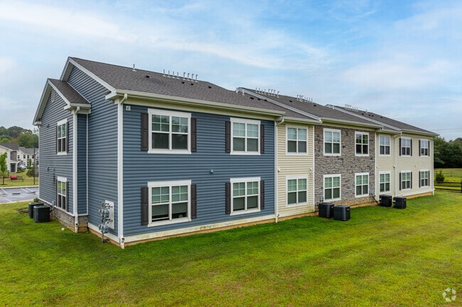
50 Dey Rd
New York-Jersey City-White Plains, NY-NJ
Preliminary And Final Subdivision Map Bl
18-01304-0000-00001-01
10.19 AC IN-LIEU TAX PAYMENT
Governmentalpublicusegeneral
Middlesex
X
New Jersey
34021C0154F
1.1
0
10.19 AC
2025
Turnpike West
008700
Northern New Jersey
DEMOGRAPHICS near 50 Dey Rd
1 Mile
3 Mile
5 Mile
2024 Total Population
11,828
32,697
115,739
2029 Population
11,776
32,476
114,985
Pop Growth 2024-2029
(0.44%)
(0.68%)
(0.65%)
Average Age
35
40
40
2024 Total Households
5,020
12,600
42,617
HH Growth 2024-2029
(0.34%)
(0.68%)
(0.67%)
Median Household Inc
$109,752
$129,181
$129,923
Avg Household Size
2.30
2.50
2.60
2024 Avg HH Vehicles
1.00
2.00
2.00
Median Home Value
$470,370
$626,572
$595,301
Median Year Built
1983
1985
1984
Nearby Places
Map Layers
Map Styles
 Street
 Aerial
- Restaurants
- Banks
- Shops
- Fitness
- Groceries
PUBLIC TRANSPORTATION
COMMUTER RAIL
Princeton Junction (Northeast Corridor Line - NJ Transit Commuter Rail (NJ Transit), Princeton Branch - NJ Transit Commuter Rail (NJ Transit))
DRIVE
WALK
Distance
Princeton Junction (Northeast Corridor Line - NJ Transit Commuter Rail (NJ Transit), Princeton Branch - NJ Transit Commuter Rail (NJ Transit))
11 min
5.6 mi
Princeton (Princeton Branch - NJ Transit Commuter Rail (NJ Transit))
DRIVE
WALK
Distance
Princeton (Princeton Branch - NJ Transit Commuter Rail (NJ Transit))
11 min
5.9 mi
AIRPORT
Trenton Mercer
DRIVE
WALK
Distance
Trenton Mercer
26 min
17.4 mi
Freight Ports
New York Container Terminal
DRIVE
WALK
Distance
New York Container Terminal
49 min
36.5 mi
Nearby Properties
Address
Land Use
TOTAL SIZE
Lot Size
Zoning
Address
Land Use
TOTAL SIZE
Lot Size
Zoning
636,000 SF
60.76 AC
PHCR
Address
Land Use
TOTAL SIZE
Lot Size
Zoning
58.63 AC
PMUD
Address
Land Use
TOTAL SIZE
Lot Size
Zoning
51.70 AC
PCD
Address
Land Use
TOTAL SIZE
Lot Size
Zoning
52.74 AC
PCD
Address
Land Use
TOTAL SIZE
Lot Size
Zoning
492,110 SF
58.48 AC
I100
Address
Land Use
TOTAL SIZE
Lot Size
Zoning
46.23 AC
PCD
Address
Land Use
TOTAL SIZE
Lot Size
Zoning
40.69 AC
PCD
Address
Land Use
TOTAL SIZE
Lot Size
Zoning
50.08 AC
PMUD
Address
Land Use
TOTAL SIZE
Lot Size
Zoning
75.55 AC
PL
Address
Land Use
TOTAL SIZE
Lot Size
Zoning
34.97 AC
PMUD
Address
Land Use
TOTAL SIZE
Lot Size
Zoning
23.64 AC
PMUD
Address
Land Use
TOTAL SIZE
Lot Size
Zoning
23.63 AC
PCD
Address
Land Use
TOTAL SIZE
Lot Size
Zoning
25.66 AC
PHCR
Address
Land Use
TOTAL SIZE
Lot Size
Zoning
89.76 AC
R100
Address
Land Use
TOTAL SIZE
Lot Size
Zoning
66.62 AC
PMUD
Address
Land Use
TOTAL SIZE
Lot Size
Zoning
225,407 SF
22 AC
PMUD
Address
Land Use
TOTAL SIZE
Lot Size
Zoning
0.78 AC
PHCR
Address
Land Use
TOTAL SIZE
Lot Size
Zoning
11.75 AC
PMUD
Address
Land Use
TOTAL SIZE
Lot Size
Zoning
8.27 AC
PMUD
Address
Land Use
TOTAL SIZE
Lot Size
Zoning
264,792 SF
23.62 AC
PMUD
Address
Land Use
TOTAL SIZE
Lot Size
Zoning
178,000 SF
17.67 AC
PMUD
Address
Land Use
TOTAL SIZE
Lot Size
Zoning
33.96 AC
PCD
Address
Land Use
TOTAL SIZE
Lot Size
Zoning
241,468 SF
21.36 AC
PMUD
Address
Land Use
TOTAL SIZE
Lot Size
Zoning
154,150 SF
16.75 AC
PMUD
Address
Land Use
TOTAL SIZE
Lot Size
Zoning
9.73 AC
PMUD
Address
Land Use
TOTAL SIZE
Lot Size
Zoning
6.10 AC
PHCR
Address
Land Use
TOTAL SIZE
Lot Size
Zoning
12.59 AC
PMUD
Address
Land Use
TOTAL SIZE
Lot Size
Zoning
207.40 AC
OR
Address
Land Use
TOTAL SIZE
Lot Size
Zoning
12.03 AC
PMUD
Address
Land Use
TOTAL SIZE
Lot Size
Zoning
38.95 AC
R100
The World's #1 Commercial Real Estate Marketplace
Connect with us
© 2026 CoStar Group
The information above has been obtained from sources believed reliable. While we do not doubt its accuracy we have not verified it and make no guarantee, warranty or representation about it. It is your responsibility to independently confirm its accuracy and completeness. Any projections, opinions, assumptions, or estimates used are for example only and do not represent the current or future performance of the property. The value of this transaction to you depends on tax and other factors which should be evaluated by your tax, financial, and legal advisors. You and your advisors should conduct a careful, independent investigation of the property to determine to your satisfaction the suitability of the property for your needs.