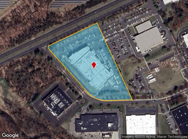
Property Record
50 Imclone Dr, Branchburg, NJ 08876


NEARBY LISTINGS FOR SALE OR LEASE
Property Detail
50 Imclone Dr
Lakewood-New Brunswick, NJ
ADDITIONAL LOTS: 358940-ALL BLDGS
05-00068-04-00001
Somerset
Industrialgeneral
New Jersey
X
1
34035C0137E
29.74 AC
2024
Somerset
2025
Northern New Jersey
053602
DEMOGRAPHICS near 50 Imclone Dr
1 Mile
3 Mile
5 Mile
2024 Total Population
2,342
22,298
74,198
2029 Population
2,304
22,161
74,321
Pop Growth 2024-2029
(1.62%)
(0.61%)
+ 0.17%
Average Age
43
43
42
2024 Total Households
834
8,218
27,438
HH Growth 2024-2029
(1.80%)
(0.67%)
+ 0.17%
Median Household Inc
$203,765
$155,395
$138,201
Avg Household Size
2.80
2.70
2.60
2024 Avg HH Vehicles
2.00
2.00
2.00
Median Home Value
$613,095
$516,450
$474,119
Median Year Built
1981
1984
1983
Nearby Places
Map Layers
Map Styles
 Street
 Aerial
- Restaurants
- Banks
- Shops
- Fitness
- Groceries
PUBLIC TRANSPORTATION
COMMUTER RAIL
North Branch (Raritan Valley Line - NJ Transit Commuter Rail (NJ Transit))
DRIVE
WALK
Distance
North Branch (Raritan Valley Line - NJ Transit Commuter Rail (NJ Transit))
11 min
3.8 mi
Raritan (Raritan Valley Line - NJ Transit Commuter Rail (NJ Transit))
DRIVE
WALK
Distance
Raritan (Raritan Valley Line - NJ Transit Commuter Rail (NJ Transit))
9 min
4.8 mi
AIRPORT
Trenton Mercer
DRIVE
WALK
Distance
Trenton Mercer
48 min
27.6 mi
Newark Liberty International
DRIVE
WALK
Distance
Newark Liberty International
50 min
38.9 mi
Freight Ports
New York Container Terminal
DRIVE
WALK
Distance
New York Container Terminal
51 min
38.0 mi
Nearby Properties
Address
Land Use
TOTAL SIZE
Lot Size
Zoning
Address
Land Use
TOTAL SIZE
Lot Size
Zoning
63.86 AC
I2
Address
Land Use
TOTAL SIZE
Lot Size
Zoning
47.50 AC
M1
Address
Land Use
TOTAL SIZE
Lot Size
Zoning
28.76 AC
I-IP
Address
Land Use
TOTAL SIZE
Lot Size
Zoning
54.31 AC
P-2
Address
Land Use
TOTAL SIZE
Lot Size
Zoning
24.04 AC
RMU
Address
Land Use
TOTAL SIZE
Lot Size
Zoning
10.33 AC
I-2
Address
Land Use
TOTAL SIZE
Lot Size
Zoning
12.58 AC
I-2
Address
Land Use
TOTAL SIZE
Lot Size
Zoning
25.25 AC
I2
Address
Land Use
TOTAL SIZE
Lot Size
Zoning
22.84 AC
I-1
Address
Land Use
TOTAL SIZE
Lot Size
Zoning
12.15 AC
I-2
Address
Land Use
TOTAL SIZE
Lot Size
Zoning
1,356 SF
5.05 AC
RS2
Address
Land Use
TOTAL SIZE
Lot Size
Zoning
8.69 AC
I-2
Address
Land Use
TOTAL SIZE
Lot Size
Zoning
1,987 SF
3.17 AC
RS2
Address
Land Use
TOTAL SIZE
Lot Size
Zoning
5.98 AC
I-2
Address
Land Use
TOTAL SIZE
Lot Size
Zoning
58.40 AC
M1
Address
Land Use
TOTAL SIZE
Lot Size
Zoning
8.30 AC
I
Address
Land Use
TOTAL SIZE
Lot Size
Zoning
4.90 AC
I2
Address
Land Use
TOTAL SIZE
Lot Size
Zoning
8.51 AC
S1
Address
Land Use
TOTAL SIZE
Lot Size
Zoning
6.32 AC
I-IP
Address
Land Use
TOTAL SIZE
Lot Size
Zoning
4.50 AC
P-2
Address
Land Use
TOTAL SIZE
Lot Size
Zoning
9.02 AC
CF
Address
Land Use
TOTAL SIZE
Lot Size
Zoning
10.82 AC
CF
Address
Land Use
TOTAL SIZE
Lot Size
Zoning
9.54 AC
I-IP
Address
Land Use
TOTAL SIZE
Lot Size
Zoning
7.20 AC
I-2
Address
Land Use
TOTAL SIZE
Lot Size
Zoning
7.90 AC
I-2
Address
Land Use
TOTAL SIZE
Lot Size
Zoning
5.02 AC
I-2
Address
Land Use
TOTAL SIZE
Lot Size
Zoning
8.51 AC
SI
Address
Land Use
TOTAL SIZE
Lot Size
Zoning
76.17 AC
U
Address
Land Use
TOTAL SIZE
Lot Size
Zoning
5.21 AC
I-2
The World's #1 Commercial Real Estate Marketplace
Connect with us
© 2026 CoStar Group
The information above has been obtained from sources believed reliable. While we do not doubt its accuracy we have not verified it and make no guarantee, warranty or representation about it. It is your responsibility to independently confirm its accuracy and completeness. Any projections, opinions, assumptions, or estimates used are for example only and do not represent the current or future performance of the property. The value of this transaction to you depends on tax and other factors which should be evaluated by your tax, financial, and legal advisors. You and your advisors should conduct a careful, independent investigation of the property to determine to your satisfaction the suitability of the property for your needs.