Property Record
50 W Leffel Ln, Springfield, OH 45506


NEARBY LISTINGS FOR SALE OR LEASE
Property Detail
50 W Leffel Ln
Springfield, OH
Limestone
34-00700-03331-4022
N SI LEFFELS LAND W OF LIMESTONE ST (4)
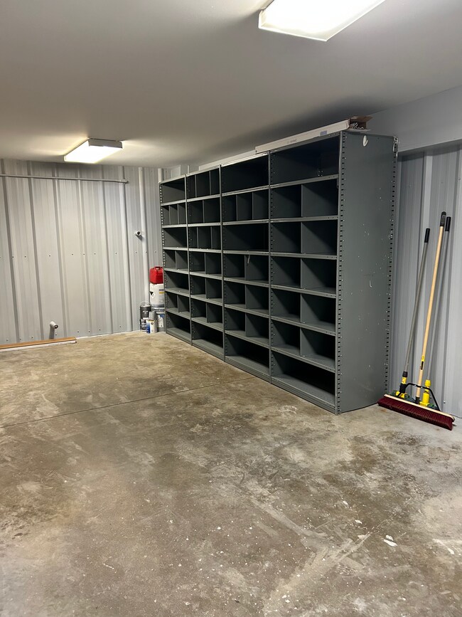
Warehouse
Clark
2024
Ohio
2025
1.52 AC
001102
Northeast Dayton
5,760 SF
Cincinnati/Dayton
DEMOGRAPHICS near 50 W Leffel Ln
1 Mile
3 Mile
5 Mile
2024 Total Population
6,874
45,096
75,532
2029 Population
6,928
45,389
75,560
Pop Growth 2024-2029
+ 0.79%
+ 0.65%
+ 0.04%
Average Age
38
38
40
2024 Total Households
2,697
17,820
30,832
HH Growth 2024-2029
+ 0.67%
+ 0.61%
(0.02%)
Median Household Inc
$43,655
$43,107
$49,526
Avg Household Size
2.40
2.30
2.30
2024 Avg HH Vehicles
2.00
2.00
2.00
Median Home Value
$81,047
$82,885
$124,464
Median Year Built
1958
1948
1953
Nearby Places
Map Layers
Map Styles
 Street
 Aerial
- Restaurants
- Banks
- Shops
- Fitness
- Groceries
PUBLIC TRANSPORTATION
AIRPORT
James M Cox Dayton International
DRIVE
WALK
Distance
James M Cox Dayton International
32 min
25.9 mi
Freight Ports
Port of Toledo
DRIVE
WALK
Distance
Port of Toledo
190 min
135.3 mi
SALE & LEASE HISTORY
LISTING DATE
SALE/LEASE

May 07, 2025
For Lease
Feb 10, 2023
For Lease
Nearby Properties
Address
Land Use
TOTAL SIZE
Lot Size
Zoning
Address
Land Use
TOTAL SIZE
Lot Size
Zoning
1.20 AC
Address
Land Use
TOTAL SIZE
Lot Size
Zoning
479,515 SF
1.69 AC
Address
Land Use
TOTAL SIZE
Lot Size
Zoning
32.89 AC
Address
Land Use
TOTAL SIZE
Lot Size
Zoning
17,280 SF
14.32 AC
Address
Land Use
TOTAL SIZE
Lot Size
Zoning
Address
Land Use
TOTAL SIZE
Lot Size
Zoning
44.85 AC
Address
Land Use
TOTAL SIZE
Lot Size
Zoning
103,458 SF
5.51 AC
Address
Land Use
TOTAL SIZE
Lot Size
Zoning
12,657 SF
8.17 AC
Address
Land Use
TOTAL SIZE
Lot Size
Zoning
8,316 SF
34.41 AC
R-1
Address
Land Use
TOTAL SIZE
Lot Size
Zoning
4,644 SF
100.91 AC
Address
Land Use
TOTAL SIZE
Lot Size
Zoning
47,929 SF
2.77 AC
Address
Land Use
TOTAL SIZE
Lot Size
Zoning
Address
Land Use
TOTAL SIZE
Lot Size
Zoning
103,589 SF
59.28 AC
Address
Land Use
TOTAL SIZE
Lot Size
Zoning
56,381 SF
2.37 AC
Address
Land Use
TOTAL SIZE
Lot Size
Zoning
Address
Land Use
TOTAL SIZE
Lot Size
Zoning
Address
Land Use
TOTAL SIZE
Lot Size
Zoning
Address
Land Use
TOTAL SIZE
Lot Size
Zoning
32,566 SF
1.90 AC
Address
Land Use
TOTAL SIZE
Lot Size
Zoning
1.05 AC
Address
Land Use
TOTAL SIZE
Lot Size
Zoning
Address
Land Use
TOTAL SIZE
Lot Size
Zoning
Address
Land Use
TOTAL SIZE
Lot Size
Zoning
77,006 SF
1.39 AC
Address
Land Use
TOTAL SIZE
Lot Size
Zoning
74,122 SF
3.39 AC
Address
Land Use
TOTAL SIZE
Lot Size
Zoning
Address
Land Use
TOTAL SIZE
Lot Size
Zoning
26.78 AC
Address
Land Use
TOTAL SIZE
Lot Size
Zoning
13,500 SF
27.70 AC
A
Address
Land Use
TOTAL SIZE
Lot Size
Zoning
65,272 SF
2.33 AC
Address
Land Use
TOTAL SIZE
Lot Size
Zoning
5.64 AC
Address
Land Use
TOTAL SIZE
Lot Size
Zoning
Address
Land Use
TOTAL SIZE
Lot Size
Zoning
The World's #1 Commercial Real Estate Marketplace
Connect with us
© 2025 CoStar Group
The information above has been obtained from sources believed reliable. While we do not doubt its accuracy we have not verified it and make no guarantee, warranty or representation about it. It is your responsibility to independently confirm its accuracy and completeness. Any projections, opinions, assumptions, or estimates used are for example only and do not represent the current or future performance of the property. The value of this transaction to you depends on tax and other factors which should be evaluated by your tax, financial, and legal advisors. You and your advisors should conduct a careful, independent investigation of the property to determine to your satisfaction the suitability of the property for your needs.