Property Record
500 Bridge St, Hannibal, MO 63401
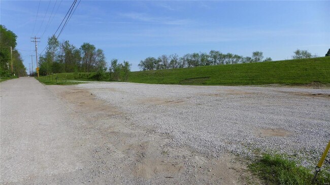

Property Detail
500 Bridge St
Hannibal, MO
SUBD O.T., BLK 33, W PT LOTS 1 THRU 8 DIM DEED-205 X 48 IRR
010.08.28.2.06.002.010
MARION
Commercialacreage
Missouri
AE The base floodplain where base flood elevations are provided. AE Zones are now used on new format FIRMs instead of A1-A30 Zones.
1-8
2025
0.20 AC
2025
Missouri North Area
960900
Other Market Areas
NEARBY LISTINGS FOR SALE OR LEASE
-
-
View all Hannibal listings for sale on LoopNet.com
DEMOGRAPHICS near 500 Bridge St
1 mile
3 mile
5 mile
2025 Total Population
4,289
17,451
20,452
2030 Population
4,356
17,479
20,414
Pop Growth 2025-2030
+ 1.56%
+ 0.16%
(0.19%)
Average Age
39
40
40
2025 Total Households
1,776
7,060
8,254
HH Growth 2025-2030
+ 1.91%
+ 0.21%
(0.17%)
Median Household Inc
$49,999
$55,922
$59,242
Avg Household Size
2.20
2.30
2.30
2025 Avg HH Vehicles
2.00
2.00
2.00
Median Home Value
$140,812
$148,331
$158,265
Median Year Built
1948
1965
1970
Nearby Places
Map Layers
Map Styles
 Street
 Aerial
Layers
 Traffic
 Biking
Places
Listings with unknown addresses are not visible on the map
- Restaurants
- Banks
- Shops
- Fitness
- Groceries
SALE & LEASE HISTORY
LISTING DATE
SALE/LEASE

Dec 16, 2022
For Sale
Nearby Properties
Address
Land Use
TOTAL SIZE
Lot Size
Zoning
Address
Land Use
TOTAL SIZE
Lot Size
Zoning
Address
Land Use
TOTAL SIZE
Lot Size
Zoning
186,518 SF
20.60 AC
Address
Land Use
TOTAL SIZE
Lot Size
Zoning
81,217 SF
7.40 AC
Address
Land Use
TOTAL SIZE
Lot Size
Zoning
103,290 SF
19.80 AC
Address
Land Use
TOTAL SIZE
Lot Size
Zoning
1.60 AC
Address
Land Use
TOTAL SIZE
Lot Size
Zoning
155,960 SF
16.40 AC
Address
Land Use
TOTAL SIZE
Lot Size
Zoning
3.30 AC
Address
Land Use
TOTAL SIZE
Lot Size
Zoning
40,894 SF
11.50 AC
Address
Land Use
TOTAL SIZE
Lot Size
Zoning
1.80 AC
Address
Land Use
TOTAL SIZE
Lot Size
Zoning
1,999 SF
9.90 AC
Address
Land Use
TOTAL SIZE
Lot Size
Zoning
Address
Land Use
TOTAL SIZE
Lot Size
Zoning
4.80 AC
Address
Land Use
TOTAL SIZE
Lot Size
Zoning
7.80 AC
Address
Land Use
TOTAL SIZE
Lot Size
Zoning
9.71 AC
Address
Land Use
TOTAL SIZE
Lot Size
Zoning
47,700 SF
0.90 AC
Address
Land Use
TOTAL SIZE
Lot Size
Zoning
13,751 SF
1.60 AC
Address
Land Use
TOTAL SIZE
Lot Size
Zoning
Address
Land Use
TOTAL SIZE
Lot Size
Zoning
5.20 AC
Address
Land Use
TOTAL SIZE
Lot Size
Zoning
20,260 SF
9.10 AC
Address
Land Use
TOTAL SIZE
Lot Size
Zoning
2,183 SF
2.90 AC
Address
Land Use
TOTAL SIZE
Lot Size
Zoning
1.30 AC
Address
Land Use
TOTAL SIZE
Lot Size
Zoning
Address
Land Use
TOTAL SIZE
Lot Size
Zoning
13,231 SF
1.80 AC
Address
Land Use
TOTAL SIZE
Lot Size
Zoning
Address
Land Use
TOTAL SIZE
Lot Size
Zoning
Address
Land Use
TOTAL SIZE
Lot Size
Zoning
4,800 SF
12.71 AC
Address
Land Use
TOTAL SIZE
Lot Size
Zoning
15,709 SF
2.20 AC
Address
Land Use
TOTAL SIZE
Lot Size
Zoning
4,245 SF
1.40 AC
Address
Land Use
TOTAL SIZE
Lot Size
Zoning
1.90 AC
Address
Land Use
TOTAL SIZE
Lot Size
Zoning
The World's #1 Commercial Real Estate Marketplace
Connect with us
© 2026 CoStar Group
The information above has been obtained from sources believed reliable. While we do not doubt its accuracy we have not verified it and make no guarantee, warranty or representation about it. It is your responsibility to independently confirm its accuracy and completeness. Any projections, opinions, assumptions, or estimates used are for example only and do not represent the current or future performance of the property. The value of this transaction to you depends on tax and other factors which should be evaluated by your tax, financial, and legal advisors. You and your advisors should conduct a careful, independent investigation of the property to determine to your satisfaction the suitability of the property for your needs.