Property Record
500 E Gibbsboro Rd, Lindenwold, NJ 08021

Property Detail
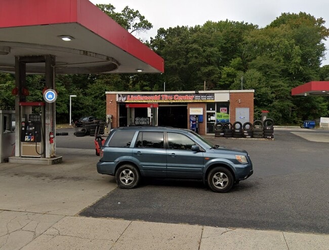
500 E Gibbsboro Rd
Philadelphia-Camden-Wilmington, PA-NJ-DE-MD
L-7,8
22-00072-0000-00006
Camden
Commercialnec
New Jersey
B and X Area of moderate flood hazard, usually the area between the limits of the 100-year and 500-year floods.
6
2025
0.60 AC
2025
South Camden County
607702
Philadelphia
1,475 SF
NEARBY LISTINGS FOR SALE OR LEASE
DEMOGRAPHICS near 500 E Gibbsboro Rd
1 mile
3 mile
5 mile
2025 Total Population
14,800
84,465
197,445
2030 Population
14,820
86,006
201,345
Pop Growth 2025-2030
+ 0.14%
+ 1.82%
+ 1.98%
Average Age
36
40
41
2025 Total Households
6,040
34,125
77,067
HH Growth 2025-2030
+ 0.10%
+ 1.83%
+ 2.02%
Median Household Inc
$50,183
$80,030
$93,505
Avg Household Size
2.40
2.40
2.50
2025 Avg HH Vehicles
1.00
2.00
2.00
Median Home Value
$194,056
$283,270
$315,388
Median Year Built
1973
1973
1975
Nearby Places
Map Layers
Map Styles
 Street
 Aerial
Transit
 Traffic
 Biking
Places
Listings with unknown addresses are not visible on the map
- Restaurants
- Banks
- Shops
- Fitness
- Groceries
PUBLIC TRANSPORTATION
COMMUTER RAIL
Lindenwold (Njt) (Atlantic City Line - NJ Transit Commuter Rail (NJ Transit))
Drive
Walk
Distance
Lindenwold (Njt) (Atlantic City Line - NJ Transit Commuter Rail (NJ Transit))
4 min
1.5 mi
Atco (Atlantic City Line - NJ Transit Commuter Rail (NJ Transit))
Drive
Walk
Distance
Atco (Atlantic City Line - NJ Transit Commuter Rail (NJ Transit))
9 min
6.4 mi
AIRPORT
Philadelphia International
Drive
Walk
Distance
Philadelphia International
33 min
21.2 mi
Freight Ports
Broadway Terminal - Pier 5
Drive
Walk
Distance
Broadway Terminal - Pier 5
18 min
12.7 mi
Nearby Properties
Address
Land Use
TOTAL SIZE
Lot Size
Zoning
Address
Land Use
TOTAL SIZE
Lot Size
Zoning
79.35 AC
CP
Address
Land Use
TOTAL SIZE
Lot Size
Zoning
Address
Land Use
TOTAL SIZE
Lot Size
Zoning
46,360 SF
8.07 AC
Address
Land Use
TOTAL SIZE
Lot Size
Zoning
16.61 AC
SH
Address
Land Use
TOTAL SIZE
Lot Size
Zoning
231,652 SF
24.41 AC
B
Address
Land Use
TOTAL SIZE
Lot Size
Zoning
164,434 SF
30.98 AC
TC
Address
Land Use
TOTAL SIZE
Lot Size
Zoning
56,408 SF
11.25 AC
TC
Address
Land Use
TOTAL SIZE
Lot Size
Zoning
40,487 SF
32.42 AC
SH
Address
Land Use
TOTAL SIZE
Lot Size
Zoning
48,840 SF
11.04 AC
TC
Address
Land Use
TOTAL SIZE
Lot Size
Zoning
112,443 SF
15.75 AC
TC
Address
Land Use
TOTAL SIZE
Lot Size
Zoning
38.13 AC
CP
Address
Land Use
TOTAL SIZE
Lot Size
Zoning
202,484 SF
19.93 AC
MB
Address
Land Use
TOTAL SIZE
Lot Size
Zoning
48,840 SF
9.55 AC
TC
Address
Land Use
TOTAL SIZE
Lot Size
Zoning
44.34 AC
C1
Address
Land Use
TOTAL SIZE
Lot Size
Zoning
36.17 AC
Address
Land Use
TOTAL SIZE
Lot Size
Zoning
86,568 SF
11.30 AC
TC
Address
Land Use
TOTAL SIZE
Lot Size
Zoning
40,116 SF
2.84 AC
TC
Address
Land Use
TOTAL SIZE
Lot Size
Zoning
89,793 SF
5.08 AC
MB
Address
Land Use
TOTAL SIZE
Lot Size
Zoning
28.40 AC
Address
Land Use
TOTAL SIZE
Lot Size
Zoning
69,604 SF
11.99 AC
R10
Address
Land Use
TOTAL SIZE
Lot Size
Zoning
Address
Land Use
TOTAL SIZE
Lot Size
Zoning
31.80 AC
Address
Land Use
TOTAL SIZE
Lot Size
Zoning
128,662 SF
15.87 AC
TC-1
Address
Land Use
TOTAL SIZE
Lot Size
Zoning
28.93 AC
Address
Land Use
TOTAL SIZE
Lot Size
Zoning
123,900 SF
3.43 AC
O3
Address
Land Use
TOTAL SIZE
Lot Size
Zoning
222,056 SF
25.98 AC
O3
Address
Land Use
TOTAL SIZE
Lot Size
Zoning
126,080 SF
TC-1
Address
Land Use
TOTAL SIZE
Lot Size
Zoning
76,176 SF
4.36 AC
RR
Address
Land Use
TOTAL SIZE
Lot Size
Zoning
5.29 AC
Address
Land Use
TOTAL SIZE
Lot Size
Zoning
18.57 AC
RA
The World's #1 Commercial Real Estate Marketplace
Connect with us
© 2026 CoStar Group
The information above has been obtained from sources believed reliable. While we do not doubt its accuracy we have not verified it and make no guarantee, warranty or representation about it. It is your responsibility to independently confirm its accuracy and completeness. Any projections, opinions, assumptions, or estimates used are for example only and do not represent the current or future performance of the property. The value of this transaction to you depends on tax and other factors which should be evaluated by your tax, financial, and legal advisors. You and your advisors should conduct a careful, independent investigation of the property to determine to your satisfaction the suitability of the property for your needs.