Property Record
500 Edgewater Dr, Wakefield, MA 01880
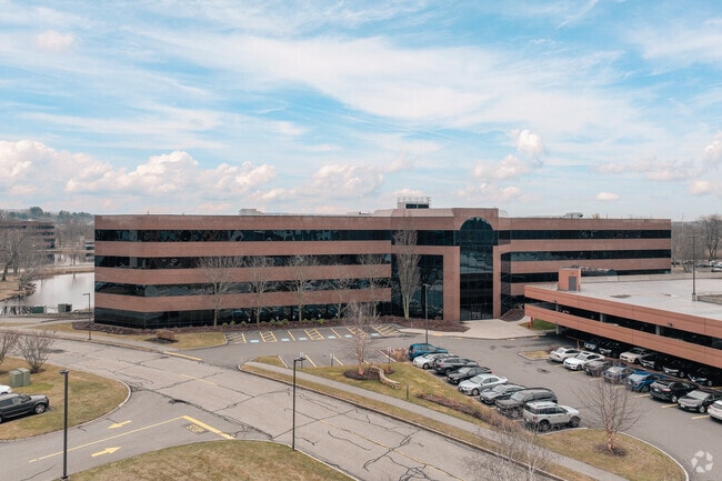


Property Detail
500 Edgewater Dr
Officebuilding
MIDDLESEX
I
Massachusetts
AE The base floodplain where base flood elevations are provided. AE Zones are now used on new format FIRMs instead of A1-A30 Zones.
4.35 AC
2025
Lynnfield/Wakefield
2025
Boston
335302
Boston-Cambridge-Newton, MA-NH
149,500 SF
WAKE-36W 40 05A
NEARBY LISTINGS FOR SALE OR LEASE
DEMOGRAPHICS near 500 Edgewater Dr
1 mile
3 mile
5 mile
2025 Total Population
6,283
58,209
198,294
2030 Population
6,515
60,110
204,755
Pop Growth 2025-2030
+ 3.69%
+ 3.27%
+ 3.26%
Average Age
42
43
43
2025 Total Households
2,374
22,385
77,539
HH Growth 2025-2030
+ 3.88%
+ 3.34%
+ 3.36%
Median Household Inc
$140,514
$134,918
$122,399
Avg Household Size
2.60
2.50
2.50
2025 Avg HH Vehicles
2.00
2.00
2.00
Median Home Value
$825,784
$767,751
$736,155
Median Year Built
1975
1964
1963
Nearby Places
Map Layers
Map Styles
 Street
 Aerial
Layers
 Traffic
 Biking
Places
Listings with unknown addresses are not visible on the map
- Restaurants
- Banks
- Shops
- Fitness
- Groceries
PUBLIC TRANSPORTATION
COMMUTER RAIL
Wakefield (Haverhill Line - Massachusetts Bay Transportation Authority Commuter Rail (Purple Line))
Drive
Walk
Distance
Wakefield (Haverhill Line - Massachusetts Bay Transportation Authority Commuter Rail (Purple Line))
8 min
3.2 mi
Greenwood (Haverhill Line - Massachusetts Bay Transportation Authority Commuter Rail (Purple Line))
Drive
Walk
Distance
Greenwood (Haverhill Line - Massachusetts Bay Transportation Authority Commuter Rail (Purple Line))
11 min
3.9 mi
AIRPORT
General Edward Lawrence Logan International
Drive
Walk
Distance
General Edward Lawrence Logan International
26 min
14.3 mi
Freight Ports
Port of Boston
Drive
Walk
Distance
Port of Boston
29 min
17.3 mi
SALE & LEASE HISTORY
LISTING DATE
SALE/LEASE

Sep 25, 2016
For Lease
Mar 30, 2021
For Lease
Jan 09, 2018
For Lease
Dec 21, 2017
For Lease
Dec 01, 2020
For Lease
Aug 11, 2020
For Lease
Aug 06, 2020
For Lease
Nearby Properties
Address
Land Use
TOTAL SIZE
Lot Size
Zoning
Address
Land Use
TOTAL SIZE
Lot Size
Zoning
213,401 SF
15.16 AC
B
Address
Land Use
TOTAL SIZE
Lot Size
Zoning
267,277 SF
60 AC
MD
Address
Land Use
TOTAL SIZE
Lot Size
Zoning
215,057 SF
12 AC
RB
Address
Land Use
TOTAL SIZE
Lot Size
Zoning
249,477 SF
13.98 AC
RA
Address
Land Use
TOTAL SIZE
Lot Size
Zoning
217,937 SF
8.40 AC
I
Address
Land Use
TOTAL SIZE
Lot Size
Zoning
228,797 SF
10.61 AC
MD
Address
Land Use
TOTAL SIZE
Lot Size
Zoning
249,587 SF
5.79 AC
DDD
Address
Land Use
TOTAL SIZE
Lot Size
Zoning
172,056 SF
I
Address
Land Use
TOTAL SIZE
Lot Size
Zoning
14,760 SF
1 AC
SR
Address
Land Use
TOTAL SIZE
Lot Size
Zoning
155,686 SF
2.88 AC
I
Address
Land Use
TOTAL SIZE
Lot Size
Zoning
262,220 SF
11.79 AC
Address
Land Use
TOTAL SIZE
Lot Size
Zoning
254,374 SF
34.70 AC
I
Address
Land Use
TOTAL SIZE
Lot Size
Zoning
167,470 SF
8.50 AC
B
Address
Land Use
TOTAL SIZE
Lot Size
Zoning
156,846 SF
11.79 AC
Address
Land Use
TOTAL SIZE
Lot Size
Zoning
210,452 SF
16.20 AC
NA
Address
Land Use
TOTAL SIZE
Lot Size
Zoning
146,088 SF
8.93 AC
IND
Address
Land Use
TOTAL SIZE
Lot Size
Zoning
135,065 SF
1.58 AC
GR
Address
Land Use
TOTAL SIZE
Lot Size
Zoning
110,812 SF
32.87 AC
RA
Address
Land Use
TOTAL SIZE
Lot Size
Zoning
260,027 SF
20 AC
IND
Address
Land Use
TOTAL SIZE
Lot Size
Zoning
118,020 SF
3.18 AC
LI
Address
Land Use
TOTAL SIZE
Lot Size
Zoning
111,000 SF
0.90 AC
DDD
Address
Land Use
TOTAL SIZE
Lot Size
Zoning
76,577 SF
8.56 AC
PUD
Address
Land Use
TOTAL SIZE
Lot Size
Zoning
160,000 SF
14.10 AC
I
Address
Land Use
TOTAL SIZE
Lot Size
Zoning
237,828 SF
12.53 AC
I
Address
Land Use
TOTAL SIZE
Lot Size
Zoning
162,138 SF
15.88 AC
NA
Address
Land Use
TOTAL SIZE
Lot Size
Zoning
219,065 SF
23.98 AC
B
Address
Land Use
TOTAL SIZE
Lot Size
Zoning
102,838 SF
8.08 AC
C
Address
Land Use
TOTAL SIZE
Lot Size
Zoning
155,000 SF
9.50 AC
I
Address
Land Use
TOTAL SIZE
Lot Size
Zoning
136,661 SF
27.50 AC
RB
Address
Land Use
TOTAL SIZE
Lot Size
Zoning
74,598 SF
0.61 AC
SR
The World's #1 Commercial Real Estate Marketplace
Connect with us
© 2026 CoStar Group
The information above has been obtained from sources believed reliable. While we do not doubt its accuracy we have not verified it and make no guarantee, warranty or representation about it. It is your responsibility to independently confirm its accuracy and completeness. Any projections, opinions, assumptions, or estimates used are for example only and do not represent the current or future performance of the property. The value of this transaction to you depends on tax and other factors which should be evaluated by your tax, financial, and legal advisors. You and your advisors should conduct a careful, independent investigation of the property to determine to your satisfaction the suitability of the property for your needs.