Property Record
500 N Sycamore Ave, Sioux Falls, SD 57110


Property Detail
500 N Sycamore Ave
Sioux Falls, SD-MN
LOT 2A TRACT 4 KNOCHENMUS ADDN TO CITY OF SIOUX FALLS
65673
Minnehaha
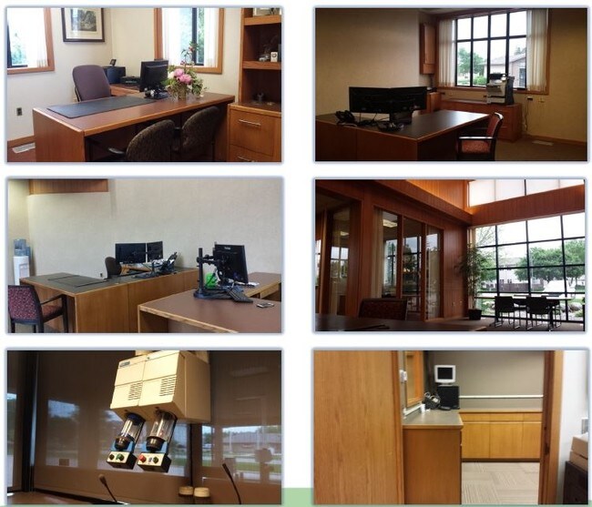
Officebuilding
South Dakota
B and X Area of moderate flood hazard, usually the area between the limits of the 100-year and 500-year floods.
2a
2025
1.06 AC
2025
Sioux Falls
000405
Other Market Areas
5,252 SF
NEARBY LISTINGS FOR SALE OR LEASE
DEMOGRAPHICS near 500 N Sycamore Ave
1 mile
3 mile
5 mile
2025 Total Population
11,935
62,270
131,763
2030 Population
12,590
65,662
139,792
Pop Growth 2025-2030
+ 5.49%
+ 5.45%
+ 6.09%
Average Age
37
38
39
2025 Total Households
4,326
24,886
53,579
HH Growth 2025-2030
+ 5.78%
+ 5.78%
+ 6.56%
Median Household Inc
$71,045
$69,248
$70,648
Avg Household Size
2.70
2.40
2.30
2025 Avg HH Vehicles
2.00
2.00
2.00
Median Home Value
$325,377
$295,156
$303,555
Median Year Built
1996
1990
1988
Nearby Places
Map Layers
Map Styles
 Street
 Aerial
Layers
 Traffic
 Biking
Places
Listings with unknown addresses are not visible on the map
- Restaurants
- Banks
- Shops
- Fitness
- Groceries
PUBLIC TRANSPORTATION
AIRPORT
Joe Foss Field
Drive
Walk
Distance
Joe Foss Field
26 min
7.3 mi
Freight Ports
Port Milwaukee
Drive
Walk
Distance
Port Milwaukee
545 min
501.5 mi
SALE & LEASE HISTORY
LISTING DATE
SALE/LEASE

Sep 27, 2023
For Lease
Jun 16, 2020
For Sale
Jun 05, 2017
For Sale
Jan 30, 2020
For Lease
Jan 24, 2020
For Sale
Nearby Properties
Address
Land Use
TOTAL SIZE
Lot Size
Zoning
Address
Land Use
TOTAL SIZE
Lot Size
Zoning
3,217 SF
10.40 AC
NO;SPECIAL
Address
Land Use
TOTAL SIZE
Lot Size
Zoning
179,266 SF
1.32 AC
FP;FP
Address
Land Use
TOTAL SIZE
Lot Size
Zoning
Address
Land Use
TOTAL SIZE
Lot Size
Zoning
94,624 SF
12.31 AC
Address
Land Use
TOTAL SIZE
Lot Size
Zoning
153,249 SF
15.39 AC
Address
Land Use
TOTAL SIZE
Lot Size
Zoning
201,639 SF
2.30 AC
FP;FP
Address
Land Use
TOTAL SIZE
Lot Size
Zoning
4,136 SF
18.95 AC
Address
Land Use
TOTAL SIZE
Lot Size
Zoning
3,306 SF
17.41 AC
Address
Land Use
TOTAL SIZE
Lot Size
Zoning
14,820 SF
80.57 AC
FP;FP
Address
Land Use
TOTAL SIZE
Lot Size
Zoning
284,136 SF
15.02 AC
Address
Land Use
TOTAL SIZE
Lot Size
Zoning
3.07 AC
FP;FP
Address
Land Use
TOTAL SIZE
Lot Size
Zoning
1.20 AC
FP;FP
Address
Land Use
TOTAL SIZE
Lot Size
Zoning
11,800 SF
11.78 AC
Address
Land Use
TOTAL SIZE
Lot Size
Zoning
212,076 SF
41.01 AC
FP;FP
Address
Land Use
TOTAL SIZE
Lot Size
Zoning
1.57 AC
C2;GENERAL
Address
Land Use
TOTAL SIZE
Lot Size
Zoning
17,117 SF
6.51 AC
PD;PLANNED
Address
Land Use
TOTAL SIZE
Lot Size
Zoning
92,195 SF
8 AC
Address
Land Use
TOTAL SIZE
Lot Size
Zoning
50,160 SF
24.88 AC
Address
Land Use
TOTAL SIZE
Lot Size
Zoning
87,328 SF
6.92 AC
Address
Land Use
TOTAL SIZE
Lot Size
Zoning
5.85 AC
Address
Land Use
TOTAL SIZE
Lot Size
Zoning
86,019 SF
3.60 AC
NO;SPECIAL
Address
Land Use
TOTAL SIZE
Lot Size
Zoning
1.08 AC
Address
Land Use
TOTAL SIZE
Lot Size
Zoning
2.26 AC
FP;FP
Address
Land Use
TOTAL SIZE
Lot Size
Zoning
89,935 SF
4.81 AC
Address
Land Use
TOTAL SIZE
Lot Size
Zoning
62,856 SF
11.26 AC
Address
Land Use
TOTAL SIZE
Lot Size
Zoning
327,184 SF
0.94 AC
FP;FP
Address
Land Use
TOTAL SIZE
Lot Size
Zoning
122,741 SF
1.27 AC
FP;FP
Address
Land Use
TOTAL SIZE
Lot Size
Zoning
132,353 SF
3.66 AC
FP;FP
Address
Land Use
TOTAL SIZE
Lot Size
Zoning
176,854 SF
2.13 AC
The World's #1 Commercial Real Estate Marketplace
Connect with us
© 2026 CoStar Group
The information above has been obtained from sources believed reliable. While we do not doubt its accuracy we have not verified it and make no guarantee, warranty or representation about it. It is your responsibility to independently confirm its accuracy and completeness. Any projections, opinions, assumptions, or estimates used are for example only and do not represent the current or future performance of the property. The value of this transaction to you depends on tax and other factors which should be evaluated by your tax, financial, and legal advisors. You and your advisors should conduct a careful, independent investigation of the property to determine to your satisfaction the suitability of the property for your needs.