Property Record
500 Palisade Ave, Bridgeport, CT 06610

Property Detail
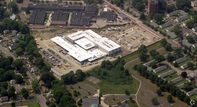
500 Palisade Ave
BRID-001928-000040
FAIRFIELD
Stateproperty
Connecticut
RC
40
B and X Area of moderate flood hazard, usually the area between the limits of the 100-year and 500-year floods.
23 AC
2025
Bridgeport
2025
Westchester/So Connecticut
073200
Bridgeport-Stamford-Danbury, CT
NEARBY LISTINGS FOR SALE OR LEASE
-
-
View all Bridgeport listings for sale on LoopNet.com
DEMOGRAPHICS near 500 Palisade Ave
1 mile
3 mile
5 mile
2025 Total Population
29,680
168,197
277,794
2030 Population
30,569
172,326
285,750
Pop Growth 2025-2030
+ 3.00%
+ 2.45%
+ 2.86%
Average Age
40
39
40
2025 Total Households
11,531
61,143
102,995
HH Growth 2025-2030
+ 3.30%
+ 2.57%
+ 2.97%
Median Household Inc
$54,260
$66,583
$80,506
Avg Household Size
2.50
2.60
2.60
2025 Avg HH Vehicles
1.00
2.00
2.00
Median Home Value
$257,872
$328,080
$376,966
Median Year Built
1949
1951
1955
Nearby Places
Map Layers
Map Styles
 Street
 Aerial
Layers
 Traffic
 Biking
Places
Listings with unknown addresses are not visible on the map
- Restaurants
- Banks
- Shops
- Fitness
- Groceries
PUBLIC TRANSPORTATION
COMMUTER RAIL
Stratford Station (New Haven Line - Metro-North Commuter Railroad Company (Metro-North))
Drive
Walk
Distance
Stratford Station (New Haven Line - Metro-North Commuter Railroad Company (Metro-North))
6 min
2.9 mi
Bridgeport Station (New Haven Line - Shore Line East, Shore Line East - Shore Line East)
Drive
Walk
Distance
Bridgeport Station (New Haven Line - Shore Line East, Shore Line East - Shore Line East)
7 min
3.1 mi
AIRPORT
Tweed/New Haven
Drive
Walk
Distance
Tweed/New Haven
35 min
21.2 mi
Westchester County
Drive
Walk
Distance
Westchester County
57 min
37.1 mi
Long Island MacArthur
Drive
Walk
Distance
Long Island MacArthur
114 min
37.3 mi
Freight Ports
Port of New Haven
Drive
Walk
Distance
Port of New Haven
30 min
18.4 mi
Nearby Properties
Address
Land Use
TOTAL SIZE
Lot Size
Zoning
Address
Land Use
TOTAL SIZE
Lot Size
Zoning
8.24 AC
Address
Land Use
TOTAL SIZE
Lot Size
Zoning
Address
Land Use
TOTAL SIZE
Lot Size
Zoning
22.85 AC
Address
Land Use
TOTAL SIZE
Lot Size
Zoning
23.95 AC
RB
Address
Land Use
TOTAL SIZE
Lot Size
Zoning
145,000 SF
15.70 AC
ILI
Address
Land Use
TOTAL SIZE
Lot Size
Zoning
38.62 AC
Address
Land Use
TOTAL SIZE
Lot Size
Zoning
22,848 SF
16.84 AC
IL-2
Address
Land Use
TOTAL SIZE
Lot Size
Zoning
4.14 AC
MUEM
Address
Land Use
TOTAL SIZE
Lot Size
Zoning
178,265 SF
6.92 AC
Address
Land Use
TOTAL SIZE
Lot Size
Zoning
83,122 SF
4.39 AC
Address
Land Use
TOTAL SIZE
Lot Size
Zoning
288,875 SF
1.57 AC
MUEM
Address
Land Use
TOTAL SIZE
Lot Size
Zoning
497,430 SF
4.16 AC
DCB
Address
Land Use
TOTAL SIZE
Lot Size
Zoning
162,376 SF
7.82 AC
Address
Land Use
TOTAL SIZE
Lot Size
Zoning
10.66 AC
ORR
Address
Land Use
TOTAL SIZE
Lot Size
Zoning
585,480 SF
3.66 AC
Address
Land Use
TOTAL SIZE
Lot Size
Zoning
493,114 SF
2.20 AC
DCB
Address
Land Use
TOTAL SIZE
Lot Size
Zoning
23.70 AC
RB
Address
Land Use
TOTAL SIZE
Lot Size
Zoning
92,318 SF
5.33 AC
Address
Land Use
TOTAL SIZE
Lot Size
Zoning
368,000 SF
18.69 AC
D-17
Address
Land Use
TOTAL SIZE
Lot Size
Zoning
216,972 SF
2.53 AC
DCB
Address
Land Use
TOTAL SIZE
Lot Size
Zoning
225,264 SF
28.22 AC
MC
Address
Land Use
TOTAL SIZE
Lot Size
Zoning
5.31 AC
RC
Address
Land Use
TOTAL SIZE
Lot Size
Zoning
204,000 SF
1.84 AC
MUEM
Address
Land Use
TOTAL SIZE
Lot Size
Zoning
7.52 AC
RC
Address
Land Use
TOTAL SIZE
Lot Size
Zoning
110,506 SF
0.06 AC
RBB
Address
Land Use
TOTAL SIZE
Lot Size
Zoning
2.40 AC
DCB
Address
Land Use
TOTAL SIZE
Lot Size
Zoning
56,762 SF
13.34 AC
BZZ
Address
Land Use
TOTAL SIZE
Lot Size
Zoning
14.18 AC
RC
Address
Land Use
TOTAL SIZE
Lot Size
Zoning
2 AC
DCB
The World's #1 Commercial Real Estate Marketplace
Connect with us
© 2026 CoStar Group
The information above has been obtained from sources believed reliable. While we do not doubt its accuracy we have not verified it and make no guarantee, warranty or representation about it. It is your responsibility to independently confirm its accuracy and completeness. Any projections, opinions, assumptions, or estimates used are for example only and do not represent the current or future performance of the property. The value of this transaction to you depends on tax and other factors which should be evaluated by your tax, financial, and legal advisors. You and your advisors should conduct a careful, independent investigation of the property to determine to your satisfaction the suitability of the property for your needs.