Property Record
500 W Main St, Oklahoma City, OK 73102


NEARBY LISTINGS FOR SALE OR LEASE
Property Detail
500 W Main St
Oklahoma City, OK
Main Street Addition
013681350
MAIN STREET ADDITION 003 000 LOTS 3 THRU 8 PLUS 1/2 VAC ALLEY ADJ SD LOTS ON S
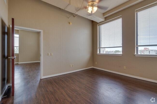
Apartment
Oklahoma
X
Oklahoma
40109C0284J
3-8
2023
0.50 AC
2024
Arts District
109900
Oklahoma City
146,625 SF
DEMOGRAPHICS near 500 W Main St
1 Mile
3 Mile
5 Mile
2024 Total Population
7,757
83,802
224,041
2029 Population
8,080
87,278
231,208
Pop Growth 2024-2029
+ 4.16%
+ 4.15%
+ 3.20%
Average Age
36
36
36
2024 Total Households
4,389
35,548
89,831
HH Growth 2024-2029
+ 4.37%
+ 4.24%
+ 3.31%
Median Household Inc
$58,745
$42,876
$43,510
Avg Household Size
1.50
2.20
2.40
2024 Avg HH Vehicles
1.00
2.00
2.00
Median Home Value
$256,849
$131,679
$107,816
Median Year Built
2002
1951
1957
Nearby Places
Map Layers
Map Styles
 Street
 Aerial
- Restaurants
- Banks
- Shops
- Fitness
- Groceries
PUBLIC TRANSPORTATION
COMMUTER RAIL
DRIVE
WALK
Distance
2 min
12 min
0.6 mi
AIRPORT
Will Rogers World
DRIVE
WALK
Distance
Will Rogers World
20 min
9.7 mi
SALE & LEASE HISTORY
LISTING DATE
SALE/LEASE

Sep 12, 2025
For Sale
Oct 02, 2017
For Lease
Aug 13, 2018
For Lease
Nearby Properties
Address
Land Use
TOTAL SIZE
Lot Size
Zoning
Address
Land Use
TOTAL SIZE
Lot Size
Zoning
3,029,769 SF
7.21 AC
DBD
Address
Land Use
TOTAL SIZE
Lot Size
Zoning
187,346 SF
13.75 AC
PUD
Address
Land Use
TOTAL SIZE
Lot Size
Zoning
1,376,216 SF
3.22 AC
DBD
Address
Land Use
TOTAL SIZE
Lot Size
Zoning
52,331 SF
2.72 AC
DBD
Address
Land Use
TOTAL SIZE
Lot Size
Zoning
324,688 SF
1.36 AC
DBD
Address
Land Use
TOTAL SIZE
Lot Size
Zoning
101,216 SF
1.23 AC
Address
Land Use
TOTAL SIZE
Lot Size
Zoning
951,493 SF
2.24 AC
DBD
Address
Land Use
TOTAL SIZE
Lot Size
Zoning
628,486 SF
0.53 AC
DBD
Address
Land Use
TOTAL SIZE
Lot Size
Zoning
511,817 SF
3.85 AC
DBD
Address
Land Use
TOTAL SIZE
Lot Size
Zoning
40,914 SF
0.50 AC
DTD-1
Address
Land Use
TOTAL SIZE
Lot Size
Zoning
417,965 SF
3.48 AC
DTD-1
Address
Land Use
TOTAL SIZE
Lot Size
Zoning
413,783 SF
6.25 AC
DBD
Address
Land Use
TOTAL SIZE
Lot Size
Zoning
194,762 SF
3 AC
DTD-1
Address
Land Use
TOTAL SIZE
Lot Size
Zoning
91,352 SF
0.68 AC
DBD
Address
Land Use
TOTAL SIZE
Lot Size
Zoning
303,589 SF
7.17 AC
PUD
Address
Land Use
TOTAL SIZE
Lot Size
Zoning
382,618 SF
5.13 AC
BC
Address
Land Use
TOTAL SIZE
Lot Size
Zoning
164,861 SF
0.32 AC
Address
Land Use
TOTAL SIZE
Lot Size
Zoning
2.59 AC
DBD
Address
Land Use
TOTAL SIZE
Lot Size
Zoning
38,866 SF
2.89 AC
DBD
Address
Land Use
TOTAL SIZE
Lot Size
Zoning
307,772 SF
1.32 AC
DBD
Address
Land Use
TOTAL SIZE
Lot Size
Zoning
281,052 SF
1.89 AC
DBD
Address
Land Use
TOTAL SIZE
Lot Size
Zoning
42,450 SF
0.32 AC
BC
Address
Land Use
TOTAL SIZE
Lot Size
Zoning
302,236 SF
2.62 AC
SPUD
Address
Land Use
TOTAL SIZE
Lot Size
Zoning
279,464 SF
1.49 AC
DBD
Address
Land Use
TOTAL SIZE
Lot Size
Zoning
188,121 SF
0.83 AC
BC
Address
Land Use
TOTAL SIZE
Lot Size
Zoning
344,045 SF
0.55 AC
DBD
Address
Land Use
TOTAL SIZE
Lot Size
Zoning
246,881 SF
1.10 AC
DBD
Address
Land Use
TOTAL SIZE
Lot Size
Zoning
26,340 SF
2.38 AC
NC
Address
Land Use
TOTAL SIZE
Lot Size
Zoning
502,508 SF
2.27 AC
DBD
Address
Land Use
TOTAL SIZE
Lot Size
Zoning
184,398 SF
8.09 AC
PUD
The World's #1 Commercial Real Estate Marketplace
Connect with us
© 2026 CoStar Group
The information above has been obtained from sources believed reliable. While we do not doubt its accuracy we have not verified it and make no guarantee, warranty or representation about it. It is your responsibility to independently confirm its accuracy and completeness. Any projections, opinions, assumptions, or estimates used are for example only and do not represent the current or future performance of the property. The value of this transaction to you depends on tax and other factors which should be evaluated by your tax, financial, and legal advisors. You and your advisors should conduct a careful, independent investigation of the property to determine to your satisfaction the suitability of the property for your needs.