Property Record
5005 Mackay Rd, Jamestown, NC 27282

NEARBY LISTINGS FOR SALE OR LEASE
Property Detail
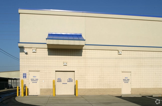
5005 Mackay Rd
Greensboro-High Point, NC
Adams Farm
0095169
WALGREENS/ADAMS FARM LO:1
Commercialnec
Guilford
X
North Carolina
3710783200J
1
2024
3.20 AC
2025
Central Guilford County
016502
Greensboro/Winston-Salem
14,550 SF
DEMOGRAPHICS near 5005 Mackay Rd
1 mile
3 mile
5 mile
2024 Total Population
5,847
42,594
122,632
2029 Population
5,845
42,395
122,077
Pop Growth 2024-2029
(0.03%)
(0.47%)
(0.45%)
Average Age
40
40
39
2024 Total Households
2,337
17,905
52,912
HH Growth 2024-2029
(0.04%)
(0.49%)
(0.43%)
Median Household Inc
$78,916
$69,789
$58,267
Avg Household Size
2.40
2.30
2.30
2024 Avg HH Vehicles
2.00
2.00
2.00
Median Home Value
$227,614
$220,905
$179,509
Median Year Built
1993
1990
1988
Nearby Places
Map Layers
Map Styles
 Street
 Aerial
Transit
 Traffic
 Biking
Places
Listings with unknown addresses are not visible on the map
- Restaurants
- Banks
- Shops
- Fitness
- Groceries
PUBLIC TRANSPORTATION
COMMUTER RAIL
Greensboro Station (Piedmont - North Carolina by Train (NC Train))
Drive
Walk
Distance
Greensboro Station (Piedmont - North Carolina by Train (NC Train))
15 min
7.9 mi
High Point Station (Piedmont - North Carolina by Train (NC Train))
Drive
Walk
Distance
High Point Station (Piedmont - North Carolina by Train (NC Train))
16 min
9.1 mi
AIRPORT
Piedmont Triad International
Drive
Walk
Distance
Piedmont Triad International
18 min
8.7 mi
Nearby Properties
Address
Land Use
TOTAL SIZE
Lot Size
Zoning
Address
Land Use
TOTAL SIZE
Lot Size
Zoning
1,307,155 SF
60.56 AC
C-H
Address
Land Use
TOTAL SIZE
Lot Size
Zoning
412,635 SF
37.70 AC
RM-12
Address
Land Use
TOTAL SIZE
Lot Size
Zoning
275,782 SF
27.65 AC
RM-12
Address
Land Use
TOTAL SIZE
Lot Size
Zoning
341,210 SF
13.43 AC
PUD
Address
Land Use
TOTAL SIZE
Lot Size
Zoning
536,466 SF
46.90 AC
PUD
Address
Land Use
TOTAL SIZE
Lot Size
Zoning
279,853 SF
19.80 AC
RM-18
Address
Land Use
TOTAL SIZE
Lot Size
Zoning
552,314 SF
38.47 AC
PDR
Address
Land Use
TOTAL SIZE
Lot Size
Zoning
419,281 SF
25.12 AC
CIV
Address
Land Use
TOTAL SIZE
Lot Size
Zoning
138,843 SF
115.56 AC
CU-LI
Address
Land Use
TOTAL SIZE
Lot Size
Zoning
367,819 SF
32.88 AC
C-H
Address
Land Use
TOTAL SIZE
Lot Size
Zoning
312,732 SF
14.27 AC
RM-18
Address
Land Use
TOTAL SIZE
Lot Size
Zoning
354,454 SF
20.65 AC
RM-18
Address
Land Use
TOTAL SIZE
Lot Size
Zoning
228,994 SF
15.59 AC
PUD
Address
Land Use
TOTAL SIZE
Lot Size
Zoning
231,597 SF
8.46 AC
PD-R
Address
Land Use
TOTAL SIZE
Lot Size
Zoning
145,105 SF
20.12 AC
C-M
Address
Land Use
TOTAL SIZE
Lot Size
Zoning
234,173 SF
22.14 AC
RM-12
Address
Land Use
TOTAL SIZE
Lot Size
Zoning
395,043 SF
15.74 AC
PUD
Address
Land Use
TOTAL SIZE
Lot Size
Zoning
256,423 SF
20.64 AC
PUD
Address
Land Use
TOTAL SIZE
Lot Size
Zoning
177,780 SF
11.80 AC
PUD
Address
Land Use
TOTAL SIZE
Lot Size
Zoning
293,851 SF
36.66 AC
PUD
Address
Land Use
TOTAL SIZE
Lot Size
Zoning
193,705 SF
14.35 AC
PUD
Address
Land Use
TOTAL SIZE
Lot Size
Zoning
211,723 SF
20.24 AC
RM-18
Address
Land Use
TOTAL SIZE
Lot Size
Zoning
403,590 SF
72.06 AC
CIV
Address
Land Use
TOTAL SIZE
Lot Size
Zoning
144,746 SF
8.17 AC
AG
Address
Land Use
TOTAL SIZE
Lot Size
Zoning
193,716 SF
10.81 AC
RM-18
Address
Land Use
TOTAL SIZE
Lot Size
Zoning
149,713 SF
6.23 AC
RM-18
Address
Land Use
TOTAL SIZE
Lot Size
Zoning
173,887 SF
12.46 AC
RM-18
Address
Land Use
TOTAL SIZE
Lot Size
Zoning
175,717 SF
16.05 AC
C-H
Address
Land Use
TOTAL SIZE
Lot Size
Zoning
133,900 SF
9.12 AC
BP
Address
Land Use
TOTAL SIZE
Lot Size
Zoning
272,917 SF
33.57 AC
MS
The World's #1 Commercial Real Estate Marketplace
Connect with us
© 2026 CoStar Group
The information above has been obtained from sources believed reliable. While we do not doubt its accuracy we have not verified it and make no guarantee, warranty or representation about it. It is your responsibility to independently confirm its accuracy and completeness. Any projections, opinions, assumptions, or estimates used are for example only and do not represent the current or future performance of the property. The value of this transaction to you depends on tax and other factors which should be evaluated by your tax, financial, and legal advisors. You and your advisors should conduct a careful, independent investigation of the property to determine to your satisfaction the suitability of the property for your needs.