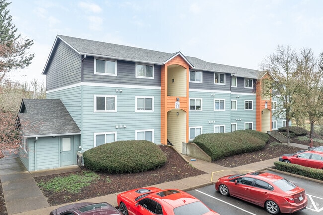
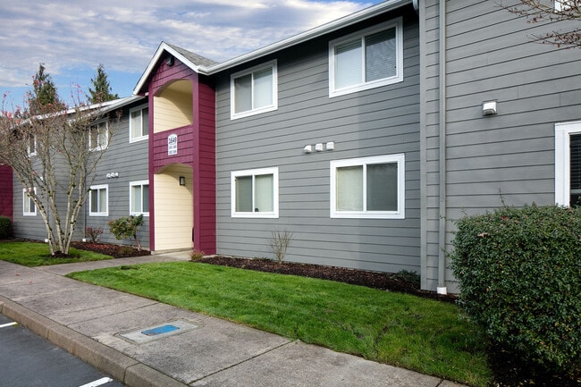
Property Record
5008 Sw Technology Loop, Corvallis, OR 97333

Property Detail
5008 Sw Technology Loop
352350
LOT 1
Multifamilydwelling
BENTON
PD(RS-20)
Oregon
A Areas with a 1% annual chance of flooding and a 26% chance of flooding over the life of a 30-year mortgage.
1
2024
9.96 AC
2025
Oregon West Area
000202
Other Market Areas
235,104 SF
Corvallis, OR
NEARBY LISTINGS FOR SALE OR LEASE
DEMOGRAPHICS near 5008 Sw Technology Loop
1 mile
3 mile
5 mile
2025 Total Population
6,446
55,566
76,414
2030 Population
6,642
58,264
79,363
Pop Growth 2025-2030
+ 3.04%
+ 4.86%
+ 3.86%
Average Age
41
35
37
2025 Total Households
2,779
21,754
30,562
HH Growth 2025-2030
+ 3.06%
+ 5.33%
+ 4.14%
Median Household Inc
$93,264
$58,996
$66,290
Avg Household Size
2.30
2.20
2.20
2025 Avg HH Vehicles
2.00
2.00
2.00
Median Home Value
$646,413
$504,887
$513,061
Median Year Built
1997
1984
1980
Nearby Places
Map Layers
Map Styles
 Street
 Aerial
Layers
 Traffic
 Biking
Places
Listings with unknown addresses are not visible on the map
- Restaurants
- Banks
- Shops
- Fitness
- Groceries
PUBLIC TRANSPORTATION
AIRPORT
Mahlon Sweet Field
Drive
Walk
Distance
Mahlon Sweet Field
60 min
37.5 mi
Freight Ports
Port of Portland
Drive
Walk
Distance
Port of Portland
113 min
89.1 mi
Nearby Properties
Address
Land Use
TOTAL SIZE
Lot Size
Zoning
Address
Land Use
TOTAL SIZE
Lot Size
Zoning
552,129 SF
25.99 AC
RS-12
Address
Land Use
TOTAL SIZE
Lot Size
Zoning
Address
Land Use
TOTAL SIZE
Lot Size
Zoning
339,006 SF
0.69 AC
RF
Address
Land Use
TOTAL SIZE
Lot Size
Zoning
330,693 SF
1.25 AC
MUE
Address
Land Use
TOTAL SIZE
Lot Size
Zoning
106,538 SF
4.38 AC
RS-12
Address
Land Use
TOTAL SIZE
Lot Size
Zoning
215,337 SF
16.20 AC
RS-20
Address
Land Use
TOTAL SIZE
Lot Size
Zoning
166,415 SF
3.04 AC
OSU
Address
Land Use
TOTAL SIZE
Lot Size
Zoning
81,113 SF
1.81 AC
PD(RS-20)
Address
Land Use
TOTAL SIZE
Lot Size
Zoning
Address
Land Use
TOTAL SIZE
Lot Size
Zoning
241,599 SF
14.33 AC
R-3
Address
Land Use
TOTAL SIZE
Lot Size
Zoning
107,412 SF
9.16 AC
RTC
Address
Land Use
TOTAL SIZE
Lot Size
Zoning
67,925 SF
4.84 AC
RTC
Address
Land Use
TOTAL SIZE
Lot Size
Zoning
139,766 SF
6.41 AC
PD(RS-9)
Address
Land Use
TOTAL SIZE
Lot Size
Zoning
124,682 SF
10.62 AC
PD(RS-12)
Address
Land Use
TOTAL SIZE
Lot Size
Zoning
218,015 SF
11.69 AC
PD(RS-12)
Address
Land Use
TOTAL SIZE
Lot Size
Zoning
122,984 SF
2.56 AC
RS-20
Address
Land Use
TOTAL SIZE
Lot Size
Zoning
165,589 SF
13.92 AC
RS-20
Address
Land Use
TOTAL SIZE
Lot Size
Zoning
15.04 AC
RI
Address
Land Use
TOTAL SIZE
Lot Size
Zoning
94,542 SF
10.96 AC
PD(NC-MAJO
Address
Land Use
TOTAL SIZE
Lot Size
Zoning
117,960 SF
5.41 AC
RS-20
Address
Land Use
TOTAL SIZE
Lot Size
Zoning
224,384 SF
2.41 AC
MUCS
Address
Land Use
TOTAL SIZE
Lot Size
Zoning
136,117 SF
6.40 AC
PD(RS-9)
Address
Land Use
TOTAL SIZE
Lot Size
Zoning
63,978 SF
3.06 AC
PD(MUGC)
Address
Land Use
TOTAL SIZE
Lot Size
Zoning
123,766 SF
6.12 AC
PD(RS-20)
Address
Land Use
TOTAL SIZE
Lot Size
Zoning
109,984 SF
3.51 AC
RS-20
Address
Land Use
TOTAL SIZE
Lot Size
Zoning
53,602 SF
4.83 AC
RTC
Address
Land Use
TOTAL SIZE
Lot Size
Zoning
174,512 SF
3.62 AC
OSU
Address
Land Use
TOTAL SIZE
Lot Size
Zoning
84,170 SF
1.34 AC
RS-20
Address
Land Use
TOTAL SIZE
Lot Size
Zoning
112,048 SF
4.72 AC
RS-20
The World's #1 Commercial Real Estate Marketplace
Connect with us
© 2026 CoStar Group
The information above has been obtained from sources believed reliable. While we do not doubt its accuracy we have not verified it and make no guarantee, warranty or representation about it. It is your responsibility to independently confirm its accuracy and completeness. Any projections, opinions, assumptions, or estimates used are for example only and do not represent the current or future performance of the property. The value of this transaction to you depends on tax and other factors which should be evaluated by your tax, financial, and legal advisors. You and your advisors should conduct a careful, independent investigation of the property to determine to your satisfaction the suitability of the property for your needs.