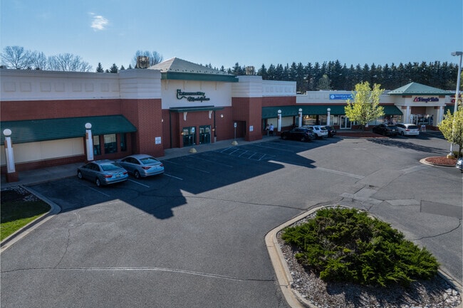
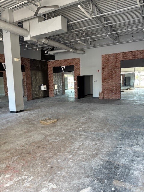
Property Record
501 Romence Rd, Portage, MI 49024
NEARBY LISTINGS FOR SALE OR LEASE
Property Detail
501 Romence Rd
10-00016-055-G
SEC 16, T3S, R11W; BEG AT NE COR OF NW 1/4 NE 1/4 SEC 16 TH S 413.92' TH W 82.65' TH S 55.60' TH W 278.84' TH S 172.16' TH W
Commercialnec
Kalamazoo
X
Michigan
26077C0303E
8.61 AC
2025
Southern Kalamazoo County
2025
West Michigan
001906
Kalamazoo-Portage, MI
DEMOGRAPHICS near 501 Romence Rd
1 Mile
3 Mile
5 Mile
2024 Total Population
7,839
42,776
110,695
2029 Population
7,816
42,474
110,445
Pop Growth 2024-2029
(0.29%)
(0.71%)
(0.23%)
Average Age
40
40
37
2024 Total Households
3,525
18,212
44,879
HH Growth 2024-2029
(0.34%)
(0.74%)
(0.27%)
Median Household Inc
$64,707
$68,323
$63,717
Avg Household Size
2.10
2.30
2.30
2024 Avg HH Vehicles
2.00
2.00
2.00
Median Home Value
$179,980
$212,954
$210,977
Median Year Built
1973
1974
1971
Nearby Places
Map Layers
Map Styles
 Street
 Aerial
- Restaurants
- Banks
- Shops
- Fitness
- Groceries
PUBLIC TRANSPORTATION
COMMUTER RAIL
Kalamazoo (Blue Water - Amtrak, Wolverine - Amtrak)
DRIVE
WALK
Distance
Kalamazoo (Blue Water - Amtrak, Wolverine - Amtrak)
13 min
6.1 mi
AIRPORT
Kalamazoo/Battle Creek International
DRIVE
WALK
Distance
Kalamazoo/Battle Creek International
13 min
4.9 mi
Freight Ports
Port of Toledo
DRIVE
WALK
Distance
Port of Toledo
177 min
146.4 mi
SALE & LEASE HISTORY
LISTING DATE
SALE/LEASE

Sep 24, 2016
For Lease
Mar 21, 2025
For Lease
Jul 30, 2024
For Sale
Nearby Properties
Address
Land Use
TOTAL SIZE
Lot Size
Zoning
Address
Land Use
TOTAL SIZE
Lot Size
Zoning
435.98 AC
I-2
Address
Land Use
TOTAL SIZE
Lot Size
Zoning
Address
Land Use
TOTAL SIZE
Lot Size
Zoning
Address
Land Use
TOTAL SIZE
Lot Size
Zoning
35,119 SF
50.85 AC
RM-1
Address
Land Use
TOTAL SIZE
Lot Size
Zoning
78.75 AC
I-2
Address
Land Use
TOTAL SIZE
Lot Size
Zoning
Address
Land Use
TOTAL SIZE
Lot Size
Zoning
Address
Land Use
TOTAL SIZE
Lot Size
Zoning
Address
Land Use
TOTAL SIZE
Lot Size
Zoning
37.40 AC
I-2
Address
Land Use
TOTAL SIZE
Lot Size
Zoning
19.39 AC
OTR
Address
Land Use
TOTAL SIZE
Lot Size
Zoning
383,638 SF
25.85 AC
B-2
Address
Land Use
TOTAL SIZE
Lot Size
Zoning
37.40 AC
I-2
Address
Land Use
TOTAL SIZE
Lot Size
Zoning
17.31 AC
PD
Address
Land Use
TOTAL SIZE
Lot Size
Zoning
16.71 AC
B-2
Address
Land Use
TOTAL SIZE
Lot Size
Zoning
255,452 SF
20.57 AC
Address
Land Use
TOTAL SIZE
Lot Size
Zoning
5.04 AC
CPD
Address
Land Use
TOTAL SIZE
Lot Size
Zoning
9.47 AC
Address
Land Use
TOTAL SIZE
Lot Size
Zoning
35.87 AC
I-1
Address
Land Use
TOTAL SIZE
Lot Size
Zoning
5,173 SF
15.81 AC
RM-1
Address
Land Use
TOTAL SIZE
Lot Size
Zoning
61,533 SF
8.42 AC
B-2
Address
Land Use
TOTAL SIZE
Lot Size
Zoning
18.57 AC
Address
Land Use
TOTAL SIZE
Lot Size
Zoning
228,368 SF
9.60 AC
PUD
Address
Land Use
TOTAL SIZE
Lot Size
Zoning
1,776 SF
17 AC
PD
Address
Land Use
TOTAL SIZE
Lot Size
Zoning
202,798 SF
17.67 AC
I-1
Address
Land Use
TOTAL SIZE
Lot Size
Zoning
16.58 AC
Address
Land Use
TOTAL SIZE
Lot Size
Zoning
12,480 SF
14.82 AC
RM-1
Address
Land Use
TOTAL SIZE
Lot Size
Zoning
6,874 SF
163.50 AC
PD
Address
Land Use
TOTAL SIZE
Lot Size
Zoning
Address
Land Use
TOTAL SIZE
Lot Size
Zoning
2.31 AC
CPD
Address
Land Use
TOTAL SIZE
Lot Size
Zoning
28.49 AC
I-2
The World's #1 Commercial Real Estate Marketplace
Connect with us
© 2025 CoStar Group
The information above has been obtained from sources believed reliable. While we do not doubt its accuracy we have not verified it and make no guarantee, warranty or representation about it. It is your responsibility to independently confirm its accuracy and completeness. Any projections, opinions, assumptions, or estimates used are for example only and do not represent the current or future performance of the property. The value of this transaction to you depends on tax and other factors which should be evaluated by your tax, financial, and legal advisors. You and your advisors should conduct a careful, independent investigation of the property to determine to your satisfaction the suitability of the property for your needs.