Property Record
5021 E Craig Rd, Las Vegas, NV 89115


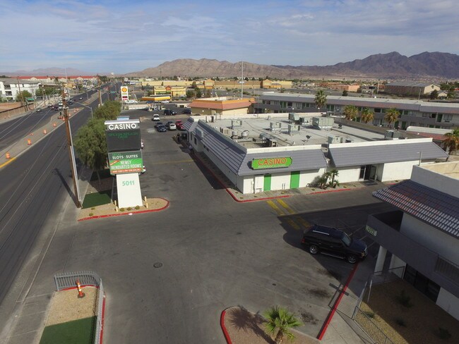
NEARBY LISTINGS FOR SALE OR LEASE
Property Detail
5021 E Craig Rd
Las Vegas-Henderson-North Las Vegas, NV
Parcel Map File 122 Page 45
140-05-703-011
PARCEL MAP FILE 122 PAGE 45 LOT 2
Restaurantbuilding
Clark
X
Nevada
32003C2177F
2
2026
0.55 AC
2026
North Las Vegas
006001
Las Vegas
10,809 SF
DEMOGRAPHICS near 5021 E Craig Rd
1 Mile
3 Mile
5 Mile
2024 Total Population
18,797
83,139
276,406
2029 Population
19,985
89,048
296,535
Pop Growth 2024-2029
+ 6.32%
+ 7.11%
+ 7.28%
Average Age
31
33
34
2024 Total Households
6,053
25,448
83,502
HH Growth 2024-2029
+ 6.38%
+ 7.10%
+ 7.31%
Median Household Inc
$36,540
$48,880
$50,440
Avg Household Size
2.90
3.10
3.20
2024 Avg HH Vehicles
1.00
2.00
2.00
Median Home Value
$174,504
$265,701
$272,369
Median Year Built
1994
1995
1994
Nearby Places
Map Layers
Map Styles
 Street
 Aerial
- Restaurants
- Banks
- Shops
- Fitness
- Groceries
PUBLIC TRANSPORTATION
AIRPORT
Harry Reid International
DRIVE
WALK
Distance
Harry Reid International
21 min
19.9 mi
SALE & LEASE HISTORY
LISTING DATE
SALE/LEASE

Feb 19, 2019
For Lease
Nearby Properties
Address
Land Use
TOTAL SIZE
Lot Size
Zoning
Address
Land Use
TOTAL SIZE
Lot Size
Zoning
1,350,116 SF
69.82 AC
C2
Address
Land Use
TOTAL SIZE
Lot Size
Zoning
935,120 SF
41.04 AC
Address
Land Use
TOTAL SIZE
Lot Size
Zoning
688,360 SF
63.10 AC
M1
Address
Land Use
TOTAL SIZE
Lot Size
Zoning
1,102,891 SF
84.40 AC
Address
Land Use
TOTAL SIZE
Lot Size
Zoning
798,660 SF
37.86 AC
M2
Address
Land Use
TOTAL SIZE
Lot Size
Zoning
813,120 SF
38.20 AC
Address
Land Use
TOTAL SIZE
Lot Size
Zoning
656,250 SF
29.11 AC
Address
Land Use
TOTAL SIZE
Lot Size
Zoning
588,286 SF
33.26 AC
Address
Land Use
TOTAL SIZE
Lot Size
Zoning
747,196 SF
40.03 AC
Address
Land Use
TOTAL SIZE
Lot Size
Zoning
632,224 SF
31.23 AC
Address
Land Use
TOTAL SIZE
Lot Size
Zoning
681,792 SF
29.65 AC
Address
Land Use
TOTAL SIZE
Lot Size
Zoning
677,768 SF
31.52 AC
Address
Land Use
TOTAL SIZE
Lot Size
Zoning
696,064 SF
29.08 AC
Address
Land Use
TOTAL SIZE
Lot Size
Zoning
621,824 SF
32.27 AC
Address
Land Use
TOTAL SIZE
Lot Size
Zoning
602,609 SF
27.33 AC
M2
Address
Land Use
TOTAL SIZE
Lot Size
Zoning
15,566 SF
48.39 AC
R4
Address
Land Use
TOTAL SIZE
Lot Size
Zoning
570,810 SF
29.73 AC
Address
Land Use
TOTAL SIZE
Lot Size
Zoning
617,670 SF
27.90 AC
M2
Address
Land Use
TOTAL SIZE
Lot Size
Zoning
720,000 SF
25.07 AC
Address
Land Use
TOTAL SIZE
Lot Size
Zoning
625,804 SF
27.23 AC
Address
Land Use
TOTAL SIZE
Lot Size
Zoning
10,579 SF
252.71 AC
C2
Address
Land Use
TOTAL SIZE
Lot Size
Zoning
509,586 SF
23.97 AC
The World's #1 Commercial Real Estate Marketplace
Connect with us
© 2026 CoStar Group
The information above has been obtained from sources believed reliable. While we do not doubt its accuracy we have not verified it and make no guarantee, warranty or representation about it. It is your responsibility to independently confirm its accuracy and completeness. Any projections, opinions, assumptions, or estimates used are for example only and do not represent the current or future performance of the property. The value of this transaction to you depends on tax and other factors which should be evaluated by your tax, financial, and legal advisors. You and your advisors should conduct a careful, independent investigation of the property to determine to your satisfaction the suitability of the property for your needs.