Property Record
5025 River Rd N, Keizer, OR 97303
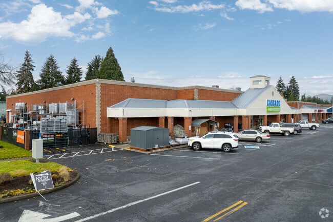

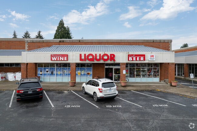
Property Detail
5025 River Rd N
525021
ACRES 7.23
Officebuilding
Marion
CM
Oregon
C and X Area of minimal flood hazard, usually depicted on FIRMs as above the 500-year flood level.
7.23 AC
2024
Marion County
2025
Portland
001401
Salem, OR
93,718 SF
NEARBY LISTINGS FOR SALE OR LEASE
DEMOGRAPHICS near 5025 River Rd N
1 mile
3 mile
5 mile
2025 Total Population
16,280
78,883
170,488
2030 Population
16,364
79,793
172,127
Pop Growth 2025-2030
+ 0.52%
+ 1.15%
+ 0.96%
Average Age
41
38
38
2025 Total Households
6,134
28,810
60,388
HH Growth 2025-2030
+ 0.59%
+ 1.20%
+ 1.03%
Median Household Inc
$82,033
$69,482
$68,650
Avg Household Size
2.60
2.70
2.60
2025 Avg HH Vehicles
2.00
2.00
2.00
Median Home Value
$401,861
$414,360
$410,585
Median Year Built
1975
1982
1978
Nearby Places
Map Layers
Map Styles
 Street
 Aerial
Layers
 Traffic
 Biking
Places
Listings with unknown addresses are not visible on the map
- Restaurants
- Banks
- Shops
- Fitness
- Groceries
PUBLIC TRANSPORTATION
COMMUTER RAIL
Salem (Amtrak Cascades - Amtrak, Coast Starlight - Amtrak)
Drive
Walk
Distance
Salem (Amtrak Cascades - Amtrak, Coast Starlight - Amtrak)
13 min
5.3 mi
Freight Ports
Port of Portland
Drive
Walk
Distance
Port of Portland
60 min
45.9 mi
SALE & LEASE HISTORY
LISTING DATE
SALE/LEASE

Sep 25, 2016
For Lease
Nearby Properties
Address
Land Use
TOTAL SIZE
Lot Size
Zoning
Address
Land Use
TOTAL SIZE
Lot Size
Zoning
58,868 SF
38.09 AC
P; RM
Address
Land Use
TOTAL SIZE
Lot Size
Zoning
532,684 SF
158.53 AC
PA
Address
Land Use
TOTAL SIZE
Lot Size
Zoning
94,577 SF
10.65 AC
PA
Address
Land Use
TOTAL SIZE
Lot Size
Zoning
236,632 SF
24.45 AC
CO
Address
Land Use
TOTAL SIZE
Lot Size
Zoning
318,068 SF
14.57 AC
RM2
Address
Land Use
TOTAL SIZE
Lot Size
Zoning
1,490 SF
17.41 AC
PA
Address
Land Use
TOTAL SIZE
Lot Size
Zoning
84,940 SF
16.75 AC
IBP
Address
Land Use
TOTAL SIZE
Lot Size
Zoning
164,539 SF
8.98 AC
CR; RM2
Address
Land Use
TOTAL SIZE
Lot Size
Zoning
68,512 SF
9.09 AC
P
Address
Land Use
TOTAL SIZE
Lot Size
Zoning
29.36 AC
IG; CR
Address
Land Use
TOTAL SIZE
Lot Size
Zoning
161,418 SF
4.48 AC
MU
Address
Land Use
TOTAL SIZE
Lot Size
Zoning
74,496 SF
11.65 AC
IC
Address
Land Use
TOTAL SIZE
Lot Size
Zoning
56,304 SF
11.87 AC
RA
Address
Land Use
TOTAL SIZE
Lot Size
Zoning
49,882 SF
5.64 AC
PE
Address
Land Use
TOTAL SIZE
Lot Size
Zoning
134,440 SF
12.25 AC
IBP
Address
Land Use
TOTAL SIZE
Lot Size
Zoning
Address
Land Use
TOTAL SIZE
Lot Size
Zoning
42,077 SF
8.54 AC
P
Address
Land Use
TOTAL SIZE
Lot Size
Zoning
150,649 SF
3.67 AC
MU
Address
Land Use
TOTAL SIZE
Lot Size
Zoning
171,349 SF
6.88 AC
RM
Address
Land Use
TOTAL SIZE
Lot Size
Zoning
101,921 SF
3.76 AC
MU
Address
Land Use
TOTAL SIZE
Lot Size
Zoning
74,549 SF
1.62 AC
IC
Address
Land Use
TOTAL SIZE
Lot Size
Zoning
123,752 SF
10.14 AC
IBP
Address
Land Use
TOTAL SIZE
Lot Size
Zoning
143,992 SF
6.81 AC
RM2
Address
Land Use
TOTAL SIZE
Lot Size
Zoning
49,861 SF
8.60 AC
IC
Address
Land Use
TOTAL SIZE
Lot Size
Zoning
105,537 SF
5.86 AC
RS
Address
Land Use
TOTAL SIZE
Lot Size
Zoning
167,516 SF
7.42 AC
RM
Address
Land Use
TOTAL SIZE
Lot Size
Zoning
54,745 SF
5.32 AC
IBP
Address
Land Use
TOTAL SIZE
Lot Size
Zoning
136,937 SF
6.44 AC
RM2
Address
Land Use
TOTAL SIZE
Lot Size
Zoning
102,832 SF
4.93 AC
MU
Address
Land Use
TOTAL SIZE
Lot Size
Zoning
124,837 SF
7.80 AC
PS
The World's #1 Commercial Real Estate Marketplace
Connect with us
© 2026 CoStar Group
The information above has been obtained from sources believed reliable. While we do not doubt its accuracy we have not verified it and make no guarantee, warranty or representation about it. It is your responsibility to independently confirm its accuracy and completeness. Any projections, opinions, assumptions, or estimates used are for example only and do not represent the current or future performance of the property. The value of this transaction to you depends on tax and other factors which should be evaluated by your tax, financial, and legal advisors. You and your advisors should conduct a careful, independent investigation of the property to determine to your satisfaction the suitability of the property for your needs.