Property Record
5018 E 2Nd St, Long Beach, CA 90803


This Property Is For Sale
Property Detail
5018 E 2Nd St
7247-003-005
TRACT # 3885 SE 20 FT OF LOT 3 MEASURED ON NE AND SW LINES OF LOT 3 AND ALL OF LOT 4 BLK 21
Storesoffices
Los Angeles
LBCNP
California
AE The base floodplain where base flood elevations are provided. AE Zones are now used on new format FIRMs instead of A1-A30 Zones.
3,4
2024
0.16 AC
2025
Long Beach: Downtown
577300
Los Angeles
13,244 SF
Los Angeles-Long Beach-Glendale, CA
NEARBY LISTINGS FOR SALE OR LEASE
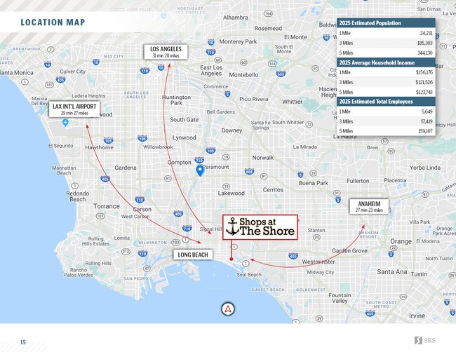
DEMOGRAPHICS near 5018 E 2Nd St
1 mile
3 mile
5 mile
2025 Total Population
24,703
190,242
350,823
2030 Population
24,568
189,387
349,158
Pop Growth 2025-2030
(0.55%)
(0.45%)
(0.47%)
Average Age
44
41
41
2025 Total Households
12,690
82,253
141,678
HH Growth 2025-2030
(0.80%)
(0.53%)
(0.50%)
Median Household Inc
$117,781
$89,133
$89,566
Avg Household Size
1.90
2.20
2.40
2025 Avg HH Vehicles
2.00
2.00
2.00
Median Home Value
$1,104,010
$871,589
$849,304
Median Year Built
1953
1962
1961
Nearby Places
Map Layers
Map Styles
 Street
 Aerial
Transit
 Traffic
 Biking
Places
Listings with unknown addresses are not visible on the map
- Restaurants
- Banks
- Shops
- Fitness
- Groceries
PUBLIC TRANSPORTATION
AIRPORT
Long Beach (Daugherty Field)
Drive
Walk
Distance
Long Beach (Daugherty Field)
15 min
6.5 mi
John Wayne/Orange County
Drive
Walk
Distance
John Wayne/Orange County
26 min
17.6 mi
Los Angeles International
Drive
Walk
Distance
Los Angeles International
38 min
25.3 mi
Freight Ports
Port of Long Beach
Drive
Walk
Distance
Port of Long Beach
10 min
3.3 mi
Nearby Properties
Address
Land Use
TOTAL SIZE
Lot Size
Zoning
Address
Land Use
TOTAL SIZE
Lot Size
Zoning
402,342 SF
LBPD30
Address
Land Use
TOTAL SIZE
Lot Size
Zoning
225,557 SF
10.81 AC
LBPD1
Address
Land Use
TOTAL SIZE
Lot Size
Zoning
266,158 SF
1 AC
LBPD30
Address
Land Use
TOTAL SIZE
Lot Size
Zoning
454,844 SF
11.37 AC
Address
Land Use
TOTAL SIZE
Lot Size
Zoning
74,318 SF
NEW SHOP C
Address
Land Use
TOTAL SIZE
Lot Size
Zoning
140,236 SF
9.21 AC
LBR4N
Address
Land Use
TOTAL SIZE
Lot Size
Zoning
199,137 SF
6.39 AC
LBR4R
Address
Land Use
TOTAL SIZE
Lot Size
Zoning
256,538 SF
6.17 AC
NEW SHOPIN
Address
Land Use
TOTAL SIZE
Lot Size
Zoning
133,668 SF
0.76 AC
LBCH
Address
Land Use
TOTAL SIZE
Lot Size
Zoning
9,629 SF
2.37 AC
LBPD30
Address
Land Use
TOTAL SIZE
Lot Size
Zoning
120,843 SF
9 AC
LBCCA
Address
Land Use
TOTAL SIZE
Lot Size
Zoning
89,993 SF
16.81 AC
LBCC
Address
Land Use
TOTAL SIZE
Lot Size
Zoning
414,067 SF
9.31 AC
LBCCA
Address
Land Use
TOTAL SIZE
Lot Size
Zoning
204,767 SF
8.78 AC
LBI
Address
Land Use
TOTAL SIZE
Lot Size
Zoning
276,622 SF
16.37 AC
LBPD17
Address
Land Use
TOTAL SIZE
Lot Size
Zoning
16.18 AC
Address
Land Use
TOTAL SIZE
Lot Size
Zoning
54,112 SF
15.43 AC
LBPD1
Address
Land Use
TOTAL SIZE
Lot Size
Zoning
73,076 SF
2.53 AC
LBPD1
Address
Land Use
TOTAL SIZE
Lot Size
Zoning
11.97 AC
Address
Land Use
TOTAL SIZE
Lot Size
Zoning
85,992 SF
4.01 AC
LBR4R
Address
Land Use
TOTAL SIZE
Lot Size
Zoning
227,281 SF
2.90 AC
LBR4N
Address
Land Use
TOTAL SIZE
Lot Size
Zoning
3.32 AC
Address
Land Use
TOTAL SIZE
Lot Size
Zoning
200,280 SF
13.17 AC
LBPD1
Address
Land Use
TOTAL SIZE
Lot Size
Zoning
163,732 SF
3.54 AC
LBR4N
Address
Land Use
TOTAL SIZE
Lot Size
Zoning
243,531 SF
5.47 AC
LBCCA
Address
Land Use
TOTAL SIZE
Lot Size
Zoning
58,174 SF
0.80 AC
LBPD2
Address
Land Use
TOTAL SIZE
Lot Size
Zoning
333,991 SF
LBI
Address
Land Use
TOTAL SIZE
Lot Size
Zoning
116,184 SF
1.17 AC
LBCCA
Address
Land Use
TOTAL SIZE
Lot Size
Zoning
110,432 SF
7.16 AC
LBCCA
Address
Land Use
TOTAL SIZE
Lot Size
Zoning
198,835 SF
4.86 AC
LBCHW
The World's #1 Commercial Real Estate Marketplace
Connect with us
© 2026 CoStar Group
The information above has been obtained from sources believed reliable. While we do not doubt its accuracy we have not verified it and make no guarantee, warranty or representation about it. It is your responsibility to independently confirm its accuracy and completeness. Any projections, opinions, assumptions, or estimates used are for example only and do not represent the current or future performance of the property. The value of this transaction to you depends on tax and other factors which should be evaluated by your tax, financial, and legal advisors. You and your advisors should conduct a careful, independent investigation of the property to determine to your satisfaction the suitability of the property for your needs.